Old Maps of Klamath Falls, Oregon
Explore 30 old maps of Klamath Falls, spanning from 1889 to today. These high-resolution historic maps reveal how streets, neighborhoods, landmarks, and natural features evolved over time — perfect for genealogy, metal detecting, research, and local history exploration.
What you can do with these maps:
- See how Klamath Falls changed over time: Compare historical maps to modern-day views to trace roads, homesites, rail lines & more.
- View detailed metadata: Each map includes creators, publishers, year, scale, and archive source.
- Overlay maps with satellite & LiDAR: Visualize the past alongside modern tools to explore terrain & human change.
- Trusted historical sources: Maps sourced from the USGS, Library of Congress, and other archives.
- Access maps your way: View online, download high-res files, or order prints for personal or research use.
Start exploring old maps of Klamath Falls to uncover forgotten places, hidden landmarks, and the deep history beneath your feet.
Klamath Falls, OR maps
(30)- 1889 Map of Klamath
 1889 Klamath1889 Print · USGSSouthern Oregon in the late nineteenth century is a land of vast marshes and emerging frontier towns like Linkville. Historians can trace early government outposts at Ft. Klamath and Yainax Agency or locate family-named sites like Applegate Spr. and Olene.
 - 1894 Map of Klamath
 1894 Klamath1894 Print · USGSSouthern Oregon's high desert and lake country are captured in the 1880s, revealing a landscape of remote agencies and early frontier outposts. Genealogists and historians can trace the foundations of Linkville or locate the Yainax Agency and Ft. Klamath.6 unique versions available
 - 1955 Map of Klamath Falls, 1963 Print
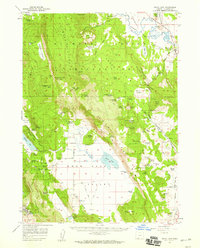
 1955 Klamath Falls1963 Print · USGSSouthern Oregon's high desert and timber country are captured here during the mid-fifties, showing the rail-dependent economies of the basin. Genealogists and researchers can locate old outposts like the Keno Guard Station, the Bly Ranger Station, and the campus of the Oregon Technical Institute.4 unique versions available
 - 1957 Map of Merrill, 1959 Print
 1957 Merrill1959 Print · USGSThe Klamath Basin comes into sharp focus during the late fifties as irrigation and rail infrastructure reshaped the high desert. Researchers can trace the routes of the Southern Pacific, find early school sites like Shasta School, and locate the historic Stone Bridge crossing.2 unique versions available
 - 1957 Map of Swan Lake, 1959 Print
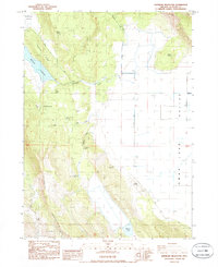
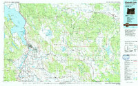
 1957 Swan Lake1959 Print · USGSThe Klamath basin in the late fifties was a landscape of high plateaus and ranching valleys served by the California and Oregon Eastern railroad. Local historians can locate specific family landmarks like Gabriel Cem, Horton, and the early campus of the Oregon Technical Institute.3 unique versions available
 - 1957 Map of Klamath Falls, 1960 Print
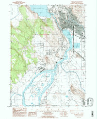
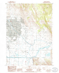
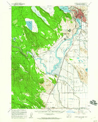 1957 Klamath Falls1960 Print · USGSThe Klamath Basin in the late fifties is defined by its complex water systems and burgeoning aviation and timber industries. Researchers can trace the rail corridors of the Great Northern RR and find landmarks like Kingsley Field or Teeters Landing.2 unique versions available
 - 1957 Map of Modoc Point, 1966 Print
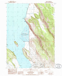
 1957 Modoc Point1966 Print · USGSUpper Klamath Lake in the mid-fifties reveals a landscape of industrial timber sites and tribal lands along the Southern Pacific line. Researchers can trace the Algoma Incline (Site), locate family roots near David Hill Cem, and explore the reclaimed expanses of Caledonia Marsh.2 unique versions available
 - 1958 Map of Klamath Falls
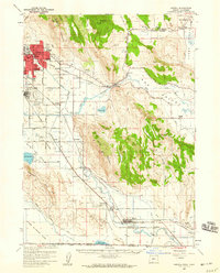
 1958 Klamath Falls1958 Print · USGSSouthern Oregon and the California borderlands are captured here in the mid-1950s during a peak era for the region's timber and rail industries. Trace the historic Klamath Indian Reservation boundaries and the rail lines of the Great Northern RR and the Oregon California and Eastern RR that connected remote towns like Bly and Beatty.3 unique versions available
 - 1975 Map of Klamath Falls NE, 1979 Print
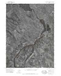 1975 Klamath Falls NE1979 Print · USGSKlamath County in the mid-seventies is captured in this aerial orthophoto, showing the industrial and agricultural landscape south of Klamath Falls. Trace the river-driven economy from Upper Klamath Lake down to the settlement at Midland.2 unique versions available
 - 1975 Map of Merrill NW, 1979 Print
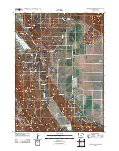
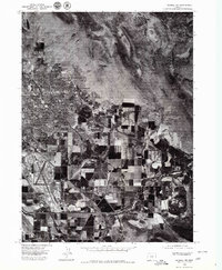 1975 Merrill NW1979 Print · USGSKlamath County during the mid-1970s shows a clear divide between the residential growth of Altamont and the vast agricultural grids to the south. Genealogists and historians can trace property lines and water rights near the Lost River and the settlement of Henley.
 - 1985 Map of Klamath Falls
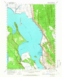
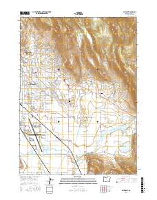
 1985 Klamath Falls1985 Print · USGSKlamath Falls and its surrounding wetlands are captured here in the mid-eighties as a hub of industry and waterfowl habitat. Researchers can trace the rail lines of the Southern Pacific, locate local schools like O'Neill Sch, or explore the limits of the Lower Klamath Nat Wildlife Refuge.2 unique versions available
 - 1985 Map of Whiteline Reservoir
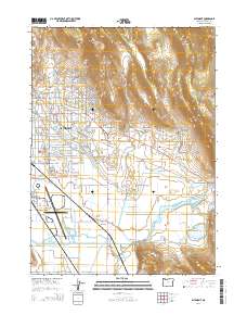
 1985 Whiteline Reservoir1985 Print · USGSThe high desert basins of Klamath County are captured here in the mid-1980s, where seasonal wetlands meet steep ridges. Researchers can locate family landmarks like Gabriel Cem, Hibbert Cemetery, and the Anderson settlement.
 - 1985 Map of Altamont, 1986 Print
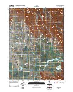
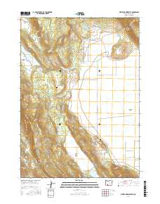
 1985 Altamont1986 Print · USGSAltamont and the outskirts of Klamath Falls are captured in the mid-1980s, revealing a landscape defined by industrial growth and the basin's vital water systems. Genealogists and local historians can trace family locations near Henley, Kingsley Field, and the Eternal Hills Memorial Gardens.
 - 1985 Map of Wocus, 1988 Print
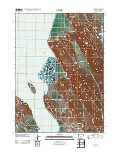
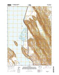
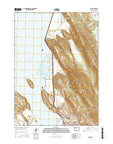
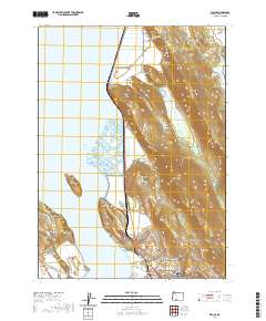
 1985 Wocus1988 Print · USGSThe eastern shore of Upper Klamath Lake was a vital transport and industrial corridor in the 1980s. Trace the Southern Pacific rail line past the historic Algoma siding, the Naylox (Site), and the Oregon Institute of Technology campus.
 - 1991 Map of Klamath Falls, 1992 Print
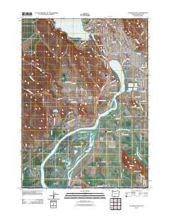
 1991 Klamath Falls1992 Print · USGSSouthern Oregon's high desert and timber basins are captured here in the early nineties, centered on the rail and river networks of the Klamath Basin. Genealogists and researchers can trace local settlements from Beatty and Bly to the agricultural grids of Merrill and Dairy.
 - 2011 Map of Klamath Falls, 2011 Print
 2011 Klamath Falls2011 Print · USGSCovers Klamath Falls, including Stewart Lenox, Midland, and other nearby areas
 - 2011 Map of Wocus, 2011 Print
 2011 Wocus2011 Print · USGSCovers Klamath Falls, including Algoma, Shady Pine, and other nearby areas
 - 2011 Map of Altamont, 2011 Print
 2011 Altamont2011 Print · USGSCovers Klamath Falls, including Altamont, Olene, and other nearby areas
 - 2011 Map of Whiteline Reservoir, 2011 Print
 2011 Whiteline Reservoir2011 Print · USGSCovers Klamath Falls, including Klamath County, United States, and other nearby areas
 - 2014 Map of Altamont, 2014 Print
 2014 Altamont2014 Print · USGSCovers Klamath Falls, including Altamont, Olene, and other nearby areas
 - 2014 Map of Wocus, 2014 Print
 2014 Wocus2014 Print · USGSCovers Klamath Falls, including Algoma, Shady Pine, and other nearby areas
 - 2017 Map of Whiteline Reservoir, 2017 Print
 2017 Whiteline Reservoir2017 Print · USGSCovers Klamath Falls, including Klamath County, United States, and other nearby areas
 - 2017 Map of Altamont, 2017 Print
 2017 Altamont2017 Print · USGSCovers Klamath Falls, including Altamont, Olene, and other nearby areas
 - 2017 Map of Wocus, 2017 Print
 2017 Wocus2017 Print · USGSCovers Klamath Falls, including Algoma, Shady Pine, and other nearby areas
 - 2020 Map of Wocus, 2020 Print
 2020 Wocus2020 Print · USGSCovers Klamath Falls, including Algoma, Shady Pine, and other nearby areas
Showing maps 1-25 of 30
Top cities near Klamath Falls
Top neighborhoods of Klamath Falls
Frequently asked questions
- What are the different types of historical maps available for Klamath Falls?
- What is the oldest map of Klamath Falls?
- Where can I purchase historical maps of Klamath Falls for my home or office?
- Where can I download high-res historical maps of Klamath Falls?
- Are there historical topographic maps available for Klamath Falls?
- Is there historical aerial imagery available for Klamath Falls?
- Where are historical maps of Klamath Falls sourced from?