
1957 Map of Swan Lake
USGS Topo · Published 1959About this map
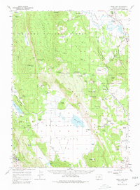
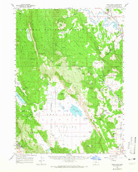
Wheeler Plateau and the Swan Lake Valley define this mid-century landscape of Klamath County, where high rimrock transitions to fertile ranching basins. The mapping captures the California and Oregon Eastern rail corridor as it skirts the eastern edge of the valley, supporting a network of scattered homesteads and livestock operations. This era shows the developed footprint of the Oregon Technical Institute at the southern base of Hogback Mountain, providing a rare look at the campus alongside local infrastructure like the sewage disposal and athletic track. For genealogists, the map preserves the exact locations of family burials at Gabriel Cem and Hibbert Cem, as well as numerous named agricultural sites including Coleman Ranch, Egert Place, and Drews Ranch. The intricate drainage of the Sprague River and its various forks is detailed north of the Bad Lands.
Find a feature on this map
95 named features on this map. Tap any name to fly to it.
Don’t see what you’re looking for? This feature index may not catch every label — zoom into the map to look around manually.
Map Details
Editions of this 1957 Swan Lake Map
3 editions found
Other maps of this area

1889 · Klamath
USGS Topo · 1:250,000

1894 · Klamath
USGS Topo · 1:250,000

1955 · Klamath Falls
USGS Topo · 1:250,000

1956 · Calimus Butte
USGS Topo · 1:62,500

1957 · Merrill
USGS Topo · 1:62,500

1957 · Chiloquin
USGS Topo · 1:62,500

1957 · Klamath Falls
USGS Topo · 1:62,500

1957 · Malin
USGS Topo · 1:62,500

1957 · Modoc Point
USGS Topo · 1:62,500

1958 · Klamath Falls
USGS Topo · 1:250,000