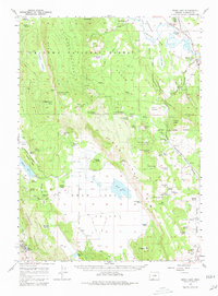
1957 Map of Swan Lake
USGS Topo · Published 1960About this map
Swan Lake sits at the center of this 1957 topographic study, surrounded by a transition from high plateau timberland to productive valley floors. The Winema National Forest dominates the northern and western elevations, including the prominent Yawhee Plateau and the heights of Swan Lake Mtn. This era shows a landscape defined by ranching and institutional development, evidenced by the numerous named homesteads such as Coleman Ranch and Janssen Ranch scattered across the Swan Lake Valley. In the southwest corner, the campus of the Oregon Technical Institute is clearly delineated near Hogback Mountain. Transportation in the late 1950s relied on the Oregon California and Eastern RR, which skirts the eastern edge of the quadrangle through Yonna Valley. Smaller genealogical details include the Hibbert Cem and the Surveyors Spring Cem, providing specific points of interest for local historians.
Find a feature on this map
82 named features on this map. Tap any name to fly to it.
Don’t see what you’re looking for? This feature index may not catch every label — zoom into the map to look around manually.
Map Details
Editions of this 1957 Swan Lake Map
3 editions found
Other maps of this area

1889 · Klamath
USGS Topo · 1:250,000

1894 · Klamath
USGS Topo · 1:250,000

1955 · Klamath Falls
USGS Topo · 1:250,000

1956 · Calimus Butte
USGS Topo · 1:62,500

1957 · Merrill
USGS Topo · 1:62,500

1957 · Chiloquin
USGS Topo · 1:62,500

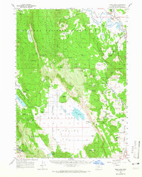
1957 · Swan Lake
USGS Topo · 1:62,500

1957 · Klamath Falls
USGS Topo · 1:62,500

1957 · Malin
USGS Topo · 1:62,500

1957 · Modoc Point
USGS Topo · 1:62,500