Old Maps of Winterville, Oregon for Genealogy
Trace your family roots with 15 historic maps of Winterville. These high-res maps reveal old neighborhoods, homesites, landmarks, and streets — helping you uncover where your ancestors lived and how the area evolved over time.
- Explore historic neighborhoods: Identify where your relatives may have lived in the 1800s or 1900s.
- Compare maps over time: Trace the changes in streets, buildings, and landmarks for multi-generational research.
- Perfect for genealogy & ancestry research: Used by family historians and researchers to map out lineage and migration.
These maps are an incredible resource for exploring your personal connection to Winterville's past.
Winterville, OR maps
(15)- 1896 Map of Coos Bay
 1896 Coos Bay1896 Print · USGSCoastal Oregon at the turn of the century was a world defined by its waterways and timber ports. Trace the early layout of Marshfield, locate coal-era sites like Beaver Hill and Coaledo, or find riverfront landings at Prosper and Parkersburg along the Coquille River.
 - 1898 Map of Coos Bay
 1898 Coos Bay1898 Print · USGSThe Oregon coast at the end of the nineteenth century is defined here by the bustling maritime hubs of Coos Bay and the Coquille River. Genealogists and historians can trace early port towns like Marshfield, Empire, and Bandon alongside the timber-and-coal infrastructure of Beaver Hill.
 - 1900 Map of Coos Bay
 1900 Coos Bay1900 Print · USGSThe Oregon coast at the turn of the century was a landscape of tide-water towns and river commerce centered on the massive Coos Bay inlet. Genealogists and local historians can trace early settlements like Marshfield, follow the Randolph Trail, and locate forgotten landings along Isthmus Slough.7 unique versions available
 - 1943 Map of Bandon, 1955 Print
 1943 Bandon1955 Print · USGSThe Oregon coast at Bandon and along the Coquille River appears here during the early years of the war. Researchers can locate coastal landmarks like the Coquille River LH or trace inland history through the Seven Devils Mine and Parkersburg Sch.3 unique versions available
 - 1944 Map of Bandon
 1944 Bandon1944 Print · USGSCoastal Coos County is captured here during the mid-1940s, as the river-based economy of the Coquille valley supported small timber and mining hamlets. Genealogists and researchers can trace family holdings like Doyle Ranch or locate vanished sites like Seven Devils Mine and the old Parkersburg Sch.2 unique versions available
 - 1954 Map of Coos Bay
 1954 Coos Bay1954 Print · USGSCoastal Oregon at mid-century shows a landscape of timber and tides, from the river ports to the edge of the Pacific. Researchers can trace family roots through coastal schools like Beachview School or follow the Southern Pacific RR through Reedsport and Coos Bay.
 - 1958 Map of Coos Bay, 1974 Print
 1958 Coos Bay1974 Print · USGSThe Southern Oregon coastline at mid-century reveals a bustling maritime and timber economy centered on Coos Bay and North Bend. Researchers can trace the legacy of coastal settlements from Bandon to Brookings, including rail lines of the Southern Pacific RR and the rugged reaches of the Siuslaw National Forest.
 - 1962 Map of Coos Bay
 1962 Coos Bay1962 Print · USGSThe Oregon coast at the end of the fifties reveals a landscape of timber ports and fishing villages connected by U.S. Highway 101. Researchers can trace the rail infrastructure of the Southern Pacific RR and locate early settlements from Florence down to Brookings.2 unique versions available
 - 1971 Map of Bill Peak, 1973 Print
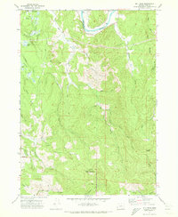 1971 Bill Peak1973 Print · USGSThe Coos County backcountry near the Coquille River comes into focus in the early seventies, showing a landscape defined by timber, water, and early agriculture. Researchers can trace the layout of Cranberry Bogs, locate the settlement of Winterville, and follow historic routes like Morrison Road and the Ferry crossing.2 unique versions available
 - 1993 Map of Coos Bay
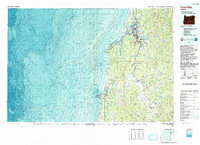 1993 Coos Bay1993 Print · USGSCoastal Oregon at the start of the nineties reveals a complex landscape of maritime trade, timber forests, and riverside hamlets. Researchers can trace the legacy of the Southern Pacific railroad and find localized landmarks like Parkersburg, Prosper, and Bunker Hill.
 - 2011 Map of Bill Peak, 2011 Print
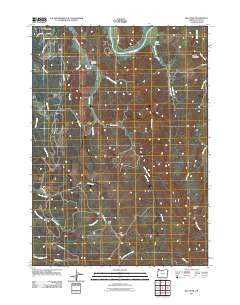 2011 Bill Peak2011 Print · USGSCovers Winterville, including Coos County, United States, and other nearby areas
 - 2014 Map of Bill Peak, 2014 Print
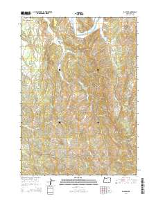 2014 Bill Peak2014 Print · USGSCovers Winterville, including Coos County, United States, and other nearby areas
 - 2017 Map of Bill Peak, 2017 Print
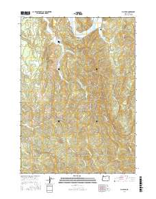 2017 Bill Peak2017 Print · USGSCovers Winterville, including Coos County, United States, and other nearby areas
 - 2020 Map of Bill Peak, 2020 Print
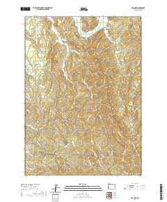 2020 Bill Peak2020 Print · USGSCovers Winterville, including Coos County, United States, and other nearby areas
 - 2023 Map of Bill Peak, 2023 Print
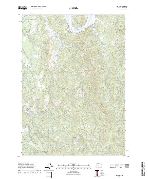 2023 Bill Peak2023 Print · USGSThis rural portion of Coos County in the 2020s shows a landscape of steep timbered ridges and winding river valleys. Genealogists can locate Bear Creek Cem and Lampa Creek Cem among landmarks like Bill Peak and the Coquille River.
End of results
Showing maps 1-15 of 15
Top cities near Winterville
- Coos Bay historical maps
- Coquille historical maps
- Bandon historical maps
- Myrtle Point historical maps
- Charleston historical maps
Frequently asked questions
- What are the different types of historical maps available for Winterville?
- What is the oldest map of Winterville?
- Where can I purchase historical maps of Winterville for my home or office?
- Where can I download high-res historical maps of Winterville?
- Are there historical topographic maps available for Winterville?
- Is there historical aerial imagery available for Winterville?
- Where are historical maps of Winterville sourced from?