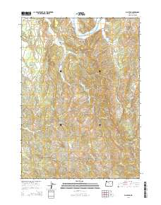
2014 Map of Bill Peak
USGS Topo · Published 2014About this map
The Coquille River winds through the northern portion of this Coos County landscape, where the small settlement of Winterville is situated near the junction of OR-42-Spur and Trap Club Ln. This area of southwestern Oregon is defined by a dense network of drainages including Twomile Cr, Bill Cr, and Hall Creek, which carve through the high ground of Lampa Mtn and Bill Peak. Local history and genealogy are anchored by the Bear Creek Cem and Lampa Creek Cem, which sit amidst a rural infrastructure of timber and agricultural roads such as Cranberry Bog Ln and Bear Creek Rd. The presence of Ferry Rd and the prominent Grigsby Rock reflect the historic reliance on the river system for movement and landmark navigation in this dissected terrain.
Find a feature on this map
48 named features on this map. Tap any name to fly to it.
Don’t see what you’re looking for? This feature index may not catch every label — zoom into the map to look around manually.
Map Details
Editions of this 2014 Bill Peak Map
This is the sole edition of this map. No revisions or reprints were ever made.
Other maps of this area
1896 · Coos Bay
USGS Topo · 1:125,000
1898 · Coos Bay
USGS Topo · 1:125,000
1899 · Port Orford
USGS Topo · 1:125,000
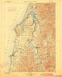
1900 · Coos Bay
USGS Topo · 1:125,000
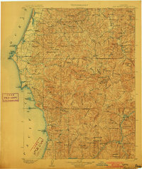
1903 · Port Orford
USGS Topo · 1:125,000
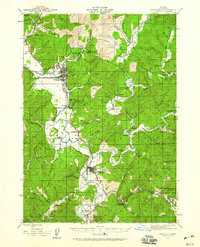
1942 · Coquille
USGS Topo · 1:62,500
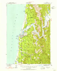
1943 · Bandon
USGS Topo · 1:62,500
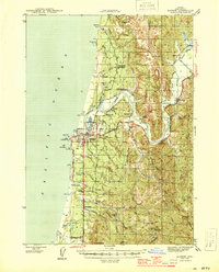
1944 · Bandon
USGS Topo · 1:62,500
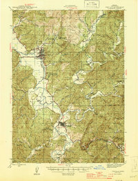
1945 · Coquille
USGS Topo · 1:62,500
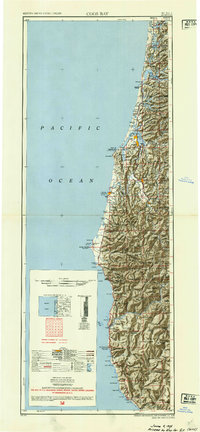
1954 · Coos Bay
USGS Topo · 1:250,000