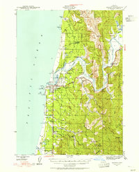
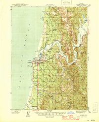
1943 Map of Bandon
USGS Topo · Published 1955About this map
Bandon sits at the mouth of the Coquille River, anchoring a coastal landscape shaped by maritime navigation and resource extraction during the early 1940s. The coastal margin features the Coquille River LH at Coquille Pt, while the interior is marked by a legacy of mining activity, including the Seven Devils Mine and several sites such as the Eagle Mine Abandoned and Pioneer Mine Abandoned. Upriver, settlements like Prosper, Parkersburg, and Riverton trace the water's path through the coastal range.
Find a feature on this map
69 named features on this map. Tap any name to fly to it.
Don’t see what you’re looking for? This feature index may not catch every label — zoom into the map to look around manually.
Map Details
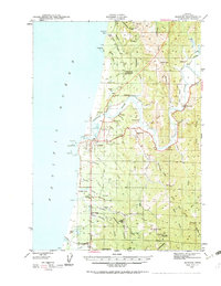
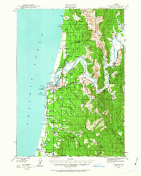
Editions of this 1943 Bandon Map
3 editions found
Other maps of this area
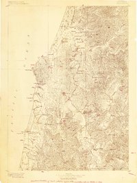
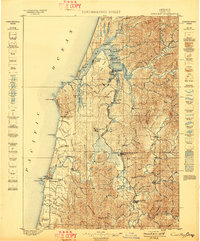
1896 · Coos Bay
USGS Topo · 1:125,000
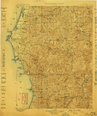
1898 · Coos Bay
USGS Topo · 1:125,000
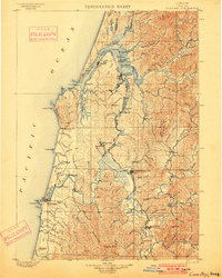
1899 · Port Orford
USGS Topo · 1:125,000
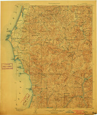
1900 · Coos Bay
USGS Topo · 1:125,000
1903 · Port Orford
USGS Topo · 1:125,000
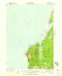
1942 · Empire
USGS Topo · 1:62,500
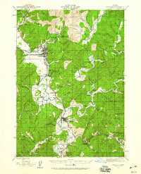
1942 · Coquille
USGS Topo · 1:62,500
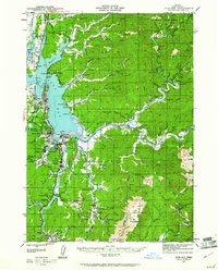
1942 · Coos Bay
USGS Topo · 1:62,500
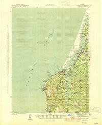
1944 · Empire
USGS Topo · 1:62,500
1944 · Bandon
USGS Topo · 1:62,500