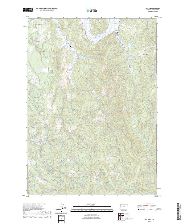
2023 Map of Bill Peak
USGS Topo · Published 2023About this map
The Coquille River winds through the northern portion of this landscape, carving a valley bordered by the rising elevations of Lampa Mtn and Bill Peak. This interior region of Coos County is defined by a dense network of drainages, including Bear Creek, Randleman Creek, and Lampa Creek, which dictate the local topography and the placement of rural infrastructure. The mapping reveals a pattern of ridge-top and valley-bottom roads, such as Myrtle Point-Lampa Mtn Rd and N Bank Rd, connecting isolated homesteads and land tracts.
Find a feature on this map
44 named features on this map. Tap any name to fly to it.
Don’t see what you’re looking for? This feature index may not catch every label — zoom into the map to look around manually.
Map Details
Editions of this 2023 Bill Peak Map
This is the sole edition of this map. No revisions or reprints were ever made.
Other maps of this area

1896 · Coos Bay
USGS Topo · 1:125,000

1898 · Coos Bay
USGS Topo · 1:125,000

1899 · Port Orford
USGS Topo · 1:125,000

1900 · Coos Bay
USGS Topo · 1:125,000

1903 · Port Orford
USGS Topo · 1:125,000

1942 · Coquille
USGS Topo · 1:62,500

1943 · Bandon
USGS Topo · 1:62,500

1944 · Bandon
USGS Topo · 1:62,500

1945 · Coquille
USGS Topo · 1:62,500

1954 · Coos Bay
USGS Topo · 1:250,000