2000s (21st Century) Maps of Redmond, Oregon
Explore 10 historic maps of Redmond from the 2000s (21st Century). These maps offer a rare glimpse into what life looked like during the 2000s — showing old roads, neighborhoods, homes, and landmarks that have changed or disappeared over time.
Whether you're researching your family's past, planning a metal detecting trip, or studying how Redmond's landscape evolved across the 2000s, these high-resolution maps are a powerful tool for exploring the history of this region.
- Focus on a specific era: All maps on this page are from the 2000s, giving you a focused view of this time period.
- See what’s changed: Compare century-old streets, trails, and buildings to today's modern landscape using overlays and satellite layers.
- Research with precision: Use these maps for genealogy, historical research, land use analysis, or educational projects.
- View, download, or print: Maps are fully viewable online in high resolution, and can be downloaded or printed for your own records.
Start exploring Redmond's history through authentic maps from the 2000s. This is your window into the past.
Redmond, OR maps
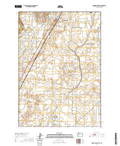
(10)- 2011 Map of Redmond, 2011 Print
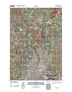 2011 Redmond2011 Print · USGSCovers Redmond, including Terrebonne, Deschutes County, and other nearby areas
 - 2011 Map of Forked Horn Butte, 2011 Print
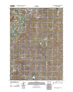 2011 Forked Horn Butte2011 Print · USGSCovers Redmond, including Deschutes County, United States, and other nearby areas
 - 2014 Map of Redmond, 2014 Print
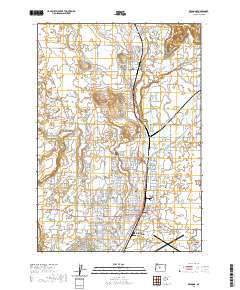
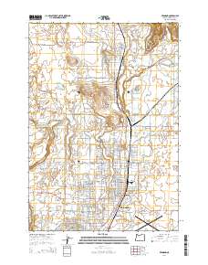 2014 Redmond2014 Print · USGSCovers Redmond, including Terrebonne, Deschutes County, and other nearby areas
 - 2014 Map of Forked Horn Butte, 2014 Print
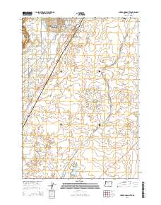 2014 Forked Horn Butte2014 Print · USGSCovers Redmond, including Deschutes County, United States, and other nearby areas
 - 2017 Map of Redmond, 2017 Print
 2017 Redmond2017 Print · USGSCovers Redmond, including Terrebonne, Deschutes County, and other nearby areas
 - 2020 Map of Forked Horn Butte, 2020 Print
 2020 Forked Horn Butte2020 Print · USGSCovers Redmond, including Deschutes County, United States, and other nearby areas
 - 2020 Map of Redmond, 2020 Print
 2020 Redmond2020 Print · USGSCovers Redmond, including Terrebonne, Deschutes County, and other nearby areas
 - 2023 Map of Redmond, 2023 Print
 2023 Redmond2023 Print · USGSCovers Redmond, including Terrebonne, Deschutes County, and other nearby areas
 - 2024 Map of Redmond, 2024 Print
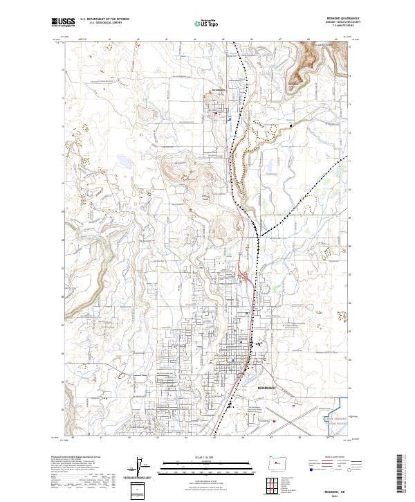 2024 Redmond2024 Print · USGSDeschutes County enters the mid-2020s as a landscape of dramatic geological features and expanding urban centers. Trace family roots and local growth through Terrebonne, Redmond, and landmarks like Smith Rock or the Crooked River Gorge.
 - 2024 Map of Forked Horn Butte, 2024 Print
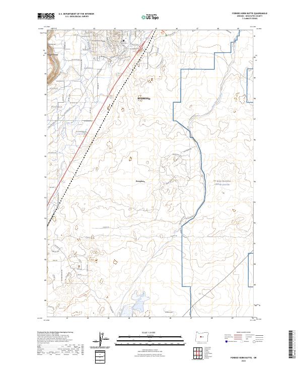 2024 Forked Horn Butte2024 Print · USGSDeschutes County in the early 2020s shows a landscape defined by volcanic geology and modern expansion. Trace historical routes like the Huntington Wagon Trl and local landmarks such as Forked Horn Butte or the Redmond Memorial Cem.
End of results
Showing maps 1-10 of 10
Top cities near Redmond
Frequently asked questions
- What are the different types of historical maps available for Redmond?
- What is the oldest map of Redmond?
- Where can I purchase historical maps of Redmond for my home or office?
- Where can I download high-res historical maps of Redmond?
- Are there historical topographic maps available for Redmond?
- Is there historical aerial imagery available for Redmond?
- Where are historical maps of Redmond sourced from?