Old Maps of Redmond, Oregon for Metal Detecting
Plan your next treasure hunt with 19 historic maps of Redmond. Find old homesites, ghost towns, trails, and gathering spots that may be lost to time — perfect for identifying promising metal detecting locations.
- Locate forgotten sites: Uncover places like long-lost settlements, abandoned rail lines, or gathering spots.
- Plan better hunts: Use map overlays combined with LiDAR or satellite views to narrow in on historically rich areas.
- Made for detectorists: Thousands of hobbyists use these maps to discover relics, coins, and hidden history.
Use these historic maps to boost your research and find new opportunities beneath the surface of Redmond.
Redmond, OR maps
(19)- 1926 Map of Bend, 1963 Print
 1926 Bend1963 Print · USGSCentral Oregon in the mid-1920s was a landscape of emerging irrigation districts and busy timber rails centered around the growing hub of Bend. Researchers can trace early rural life through family-named landmarks like Gales Ranch and numerous country schoolhouses including Young Sch and Pine Ridge Sch.
 - 1929 Map of Bend
 1929 Bend1929 Print · USGSCentral Oregon in the late twenties shows a landscape shaped by irrigation and the expansion of the rail lines. Genealogists can locate family-named sites like Gates Ranch and numerous rural schoolhouses including Arnold Sch and Lava Rock Sch.5 unique versions available
 - 1955 Map of Bend, 1964 Print
 1955 Bend1964 Print · USGSCentral Oregon was undergoing significant growth in the mid-1960s as irrigation and infrastructure transformed the high desert. Researchers can trace the path of the Oregon Trunk Line, locate old stops like Gateway, and find landmarks like Lava Butte or the Grange.3 unique versions available
 - 1957 Map of Bend
 1957 Bend1957 Print · USGSCentral Oregon in the mid-fifties is a landscape of transition between the high Cascades and the arid volcanic plateau. Local historians can trace the rail corridors of the Oregon Trunk and locate early settlements like Ashwood, Odin Falls, and Camp Sherman.
 - 1958 Map of Bend
 1958 Bend1958 Print · USGSCentral Oregon in the late fifties was a land of high desert ranching and growing mountain towns. Researchers can trace the rail lines of the Oregon Trunk Railroad, find established settlements like Madras and Sisters, or locate landmarks such as Smith Rock and Lava Butte.
 - 1961 Map of Redmond, 1977 Print
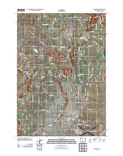
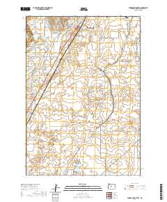
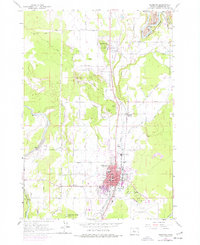 1961 Redmond1977 Print · USGSCentral Oregon's high desert landscape comes into focus at the dawn of the sixties, showcasing the expansion of Redmond and the nearby agricultural hub of Terrebonne. Trace the development of irrigation canals, family-named roads, and rail junctions like Prineville Junction near the banks of the Crooked River.
 - 1962 Map of Forked Horn Butte, 1963 Print
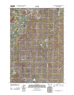
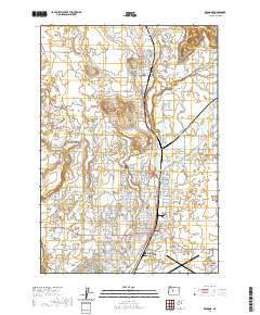
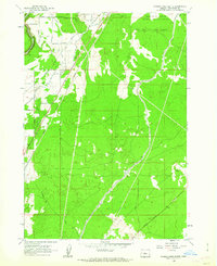 1962 Forked Horn Butte1963 Print · USGSThe high desert landscape outside Redmond comes to life in the early 1960s, showing the intersection of vital irrigation canals and aviation growth. Trace family roots at the Redmond Cem or explore the mid-century footprint of Roberts Field and the Redmond Cave.2 unique versions available
 - 1962 Map of Redmond, 1963 Print
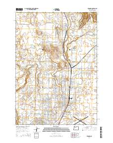
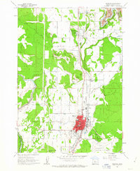 1962 Redmond1963 Print · USGSRedmond and Terrebonne are captured in the early sixties as agricultural and rail hubs. Trace the development of Roberts Field or locate family sites near Redmond Cemetery and Edwin Brown Sch.2 unique versions available
 - 1980 Map of Bend, 1993 Print
 1980 Bend1993 Print · USGSCentral Oregon was evolving rapidly in the early eighties as outdoor recreation and transit hubs like Bend and Redmond expanded. Trace the historical footprints of Sisters, the Metolius River basin, and the Oregon Trunk Railway through the high desert.2 unique versions available
 - 2011 Map of Redmond, 2011 Print
 2011 Redmond2011 Print · USGSCovers Redmond, including Terrebonne, Deschutes County, and other nearby areas
 - 2011 Map of Forked Horn Butte, 2011 Print
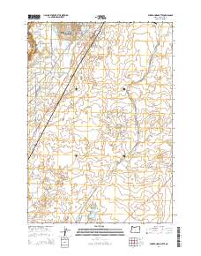
 2011 Forked Horn Butte2011 Print · USGSCovers Redmond, including Deschutes County, United States, and other nearby areas
 - 2014 Map of Redmond, 2014 Print
 2014 Redmond2014 Print · USGSCovers Redmond, including Terrebonne, Deschutes County, and other nearby areas
 - 2014 Map of Forked Horn Butte, 2014 Print
 2014 Forked Horn Butte2014 Print · USGSCovers Redmond, including Deschutes County, United States, and other nearby areas
 - 2017 Map of Redmond, 2017 Print
 2017 Redmond2017 Print · USGSCovers Redmond, including Terrebonne, Deschutes County, and other nearby areas
 - 2020 Map of Forked Horn Butte, 2020 Print
 2020 Forked Horn Butte2020 Print · USGSCovers Redmond, including Deschutes County, United States, and other nearby areas
 - 2020 Map of Redmond, 2020 Print
 2020 Redmond2020 Print · USGSCovers Redmond, including Terrebonne, Deschutes County, and other nearby areas
 - 2023 Map of Redmond, 2023 Print
 2023 Redmond2023 Print · USGSCovers Redmond, including Terrebonne, Deschutes County, and other nearby areas
 - 2024 Map of Redmond, 2024 Print
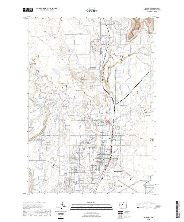 2024 Redmond2024 Print · USGSDeschutes County enters the mid-2020s as a landscape of dramatic geological features and expanding urban centers. Trace family roots and local growth through Terrebonne, Redmond, and landmarks like Smith Rock or the Crooked River Gorge.
 - 2024 Map of Forked Horn Butte, 2024 Print
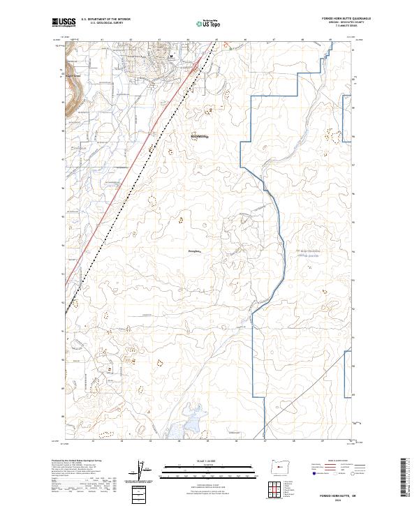 2024 Forked Horn Butte2024 Print · USGSDeschutes County in the early 2020s shows a landscape defined by volcanic geology and modern expansion. Trace historical routes like the Huntington Wagon Trl and local landmarks such as Forked Horn Butte or the Redmond Memorial Cem.
End of results
Showing maps 1-19 of 19
Top cities near Redmond
Frequently asked questions
- What are the different types of historical maps available for Redmond?
- What is the oldest map of Redmond?
- Where can I purchase historical maps of Redmond for my home or office?
- Where can I download high-res historical maps of Redmond?
- Are there historical topographic maps available for Redmond?
- Is there historical aerial imagery available for Redmond?
- Where are historical maps of Redmond sourced from?