Old Maps of Canyon City, Oregon for Genealogy
Trace your family roots with 12 historic maps of Canyon City. These high-res maps reveal old neighborhoods, homesites, landmarks, and streets — helping you uncover where your ancestors lived and how the area evolved over time.
- Explore historic neighborhoods: Identify where your relatives may have lived in the 1800s or 1900s.
- Compare maps over time: Trace the changes in streets, buildings, and landmarks for multi-generational research.
- Perfect for genealogy & ancestry research: Used by family historians and researchers to map out lineage and migration.
These maps are an incredible resource for exploring your personal connection to Canyon City's past.
Canyon City, OR maps
(12)- 1940 Map of John Day, 1960 Print
 1940 John Day1960 Print · USGSGrant County is captured here at the end of the 1930s as a region defined by high-desert ranching and the remnants of a gold-mining boom. Genealogists can trace early landmarks like Canyon City, the Joaquin Miller Resort, and several abandoned workings such as the Iron King Mine.2 unique versions available
 - 1943 Map of John Day
 1943 John Day1943 Print · USGSGrant County is captured during the early 1940s, showing the intersection of ranching and the waning mining era near Canyon City. Genealogists and historians can locate family landmarks like the Kuhl Ranch or trace the history of the Golden West Mine (abandoned) and Marysville Sch.2 unique versions available
 - 1955 Map of Canyon City, 1966 Print
 1955 Canyon City1966 Print · USGSCentral Oregon's high desert and timber country are captured here in the mid-fifties, showing the rugged ranching and logging landscape. Trace the path of the Sumpter Valley Ry or locate remote settlements like Izee, Whitney, and Ritter.4 unique versions available
 - 1959 Map of Canyon City
 1959 Canyon City1959 Print · USGSEastern Oregon in the late fifties was a landscape of high timber and remote river valleys shaped by the cattle and mining trades. Genealogists and historians can trace the paths of the Sumpter Valley RR and find early settlements like Antone, Richmond, and Dayville.2 unique versions available
 - 1972 Map of John Day, 1976 Print
 1972 John Day1976 Print · USGSGrant County in the early seventies shows a landscape where industrial gold mining and civic growth meet. Genealogists and historians can trace the foundations of John Day, locate the historic Boot Hill Cem, and explore vast Dredge Tailings along the river.2 unique versions available
 - 1978 Map of John Day, 1997 Print
 1978 John Day1997 Print · USGSEastern Oregon in the late 1970s shows a landscape defined by timber, mining, and high-desert hydrology. Researchers can trace the legacy of the Standard Mine, the route of the Oregon and Northwestern Railroad, and the remote outposts of Seneca and Prairie City.2 unique versions available
 - 1998 Map of John Day, 2000 Print
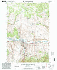 1998 John Day2000 Print · USGSThe John Day River valley in the late nineties retains clear evidence of its gold-mining legacy alongside modern regional hubs. Genealogists and historians can trace local families at Boot Hill Cemetery, explore the Old Humboldt Diggings, or locate old landmarks like St. Andrews Church.
 - 2011 Map of John Day, 2011 Print
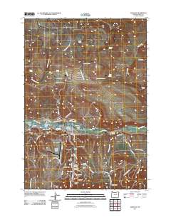 2011 John Day2011 Print · USGSEastern Oregon’s high-desert river valley is shown at the start of the 2010s, centering on the historic gold-rush settlements of John Day and Canyon City. Researchers can trace early industry and community life through the Old Humbolt Diggings and Boot Hill Cemetery.
 - 2014 Map of John Day, 2014 Print
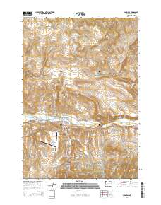 2014 John Day2014 Print · USGSThe adjacent settlements of John Day and Canyon City are shown at the height of their modern development in this 2010s survey. Genealogists and historians can locate several local burial sites, including the historic Boot Hill Cem, and trace legacy irrigation lines like Luce Ditch.
 - 2017 Map of John Day, 2017 Print
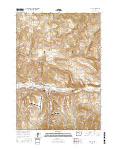 2017 John Day2017 Print · USGSGrant County at the meeting of the mountains and the river valley is captured here in the late twenty-teens. Genealogists and historians can trace property boundaries and landmarks from Boot Hill Cem to the San Juan Log Ponds and Canyon City Reservoir.
 - 2020 Map of John Day, 2020 Print
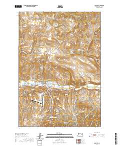 2020 John Day2020 Print · USGSThe mountain corridor of Grant County comes into focus here, showing the adjacent towns of John Day and Canyon City. Researchers can trace old family burial sites at Boot Hill Cem or locate the Grant County Courthouse along the river valley.
 - 2023 Map of John Day, 2023 Print
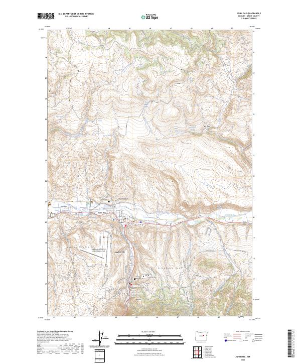 2023 John Day2023 Print · USGSIn the shadow of the Strawberry Range, these mountain communities are documented at a modern turning point in their history. Genealogists and researchers can trace local family lineages through Boot Hill Cem, Saint Andrews Cem, and the Grant County Courthouse.
End of results
Showing maps 1-12 of 12
Top cities near Canyon City
Frequently asked questions
- What are the different types of historical maps available for Canyon City?
- What is the oldest map of Canyon City?
- Where can I purchase historical maps of Canyon City for my home or office?
- Where can I download high-res historical maps of Canyon City?
- Are there historical topographic maps available for Canyon City?
- Is there historical aerial imagery available for Canyon City?
- Where are historical maps of Canyon City sourced from?