2000s (21st Century) Maps of Lincoln County, Oregon
Explore 125 historic maps of Lincoln County from the 2000s (21st Century). These maps offer a rare glimpse into what life looked like during the 2000s — showing old roads, neighborhoods, homes, and landmarks that have changed or disappeared over time.
Whether you're researching your family's past, planning a metal detecting trip, or studying how Lincoln County's landscape evolved across the 2000s, these high-resolution maps are a powerful tool for exploring the history of this region.
- Focus on a specific era: All maps on this page are from the 2000s, giving you a focused view of this time period.
- See what’s changed: Compare century-old streets, trails, and buildings to today's modern landscape using overlays and satellite layers.
- Research with precision: Use these maps for genealogy, historical research, land use analysis, or educational projects.
- View, download, or print: Maps are fully viewable online in high resolution, and can be downloaded or printed for your own records.
Start exploring Lincoln County's history through authentic maps from the 2000s. This is your window into the past.
Lincoln County, OR maps
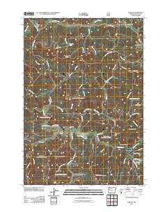
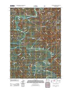
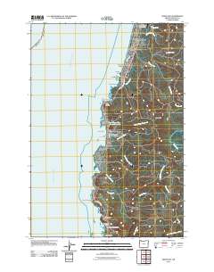
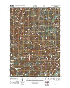
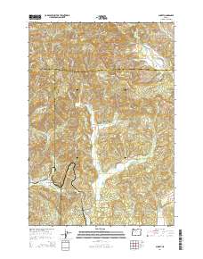
(125)- 2011 Map of Midway, 2011 Print
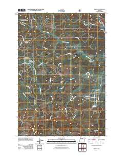 2011 Midway2011 Print · USGSCovers Lincoln County, including Midway, Yamhill County, and other nearby areas
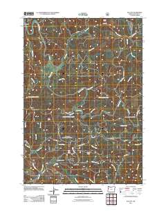
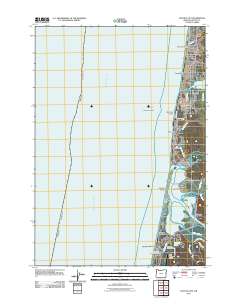
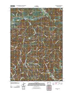
 - 2011 Map of Waldport, 2011 Print
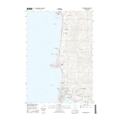
 2011 Waldport2011 Print · USGSCovers Lincoln County, including Waldport, Wakonda Beach, and other nearby areas
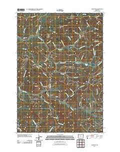
 - 2011 Map of Neskowin, 2011 Print
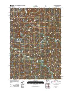
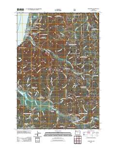 2011 Neskowin2011 Print · USGSCovers Lincoln County, including Lincoln City, Otis, and other nearby areas
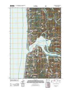
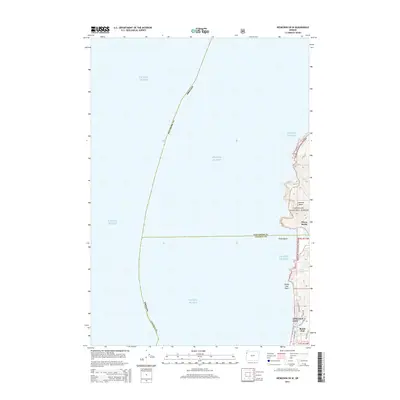
 - 2011 Map of Newport South, 2011 Print
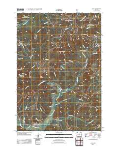
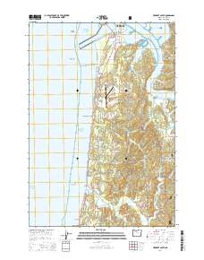
 2011 Newport South2011 Print · USGSCovers Lincoln County, including Newport, Ona, and other nearby areas
 - 2011 Map of Harlan, 2011 Print
 2011 Harlan2011 Print · USGSCovers Lincoln County, including Harlan, United States, and other nearby areas
 - 2011 Map of Digger Mountain, 2011 Print
 2011 Digger Mountain2011 Print · USGSCovers Lincoln County, including Lane County, Benton County, and other nearby areas
 - 2011 Map of Stott Mountain, 2011 Print
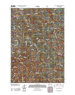 2011 Stott Mountain2011 Print · USGSCovers Lincoln County, including United States, Oregon, and other nearby areas
 - 2011 Map of Devils Lake, 2011 Print
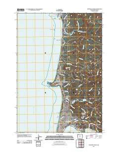
 2011 Devils Lake2011 Print · USGSCovers Lincoln County, including Lincoln City, Pikes Camp, and other nearby areas
 - 2011 Map of Mowrey Landing, 2011 Print
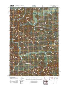
 2011 Mowrey Landing2011 Print · USGSCovers Lincoln County, including United States, Oregon, and other nearby areas
 - 2011 Map of Elk City, 2011 Print
 2011 Elk City2011 Print · USGSCovers Lincoln County, including United States, Oregon, and other nearby areas
 - 2011 Map of Five Rivers, 2011 Print
 2011 Five Rivers2011 Print · USGSCovers Lincoln County, including Paris, Fisher, and other nearby areas
 - 2011 Map of Alsea, 2011 Print
 2011 Alsea2011 Print · USGSCovers Lincoln County, including Alsea, Benton County, and other nearby areas
 - 2011 Map of Depoe Bay, 2011 Print
 2011 Depoe Bay2011 Print · USGSCovers Lincoln County, including Depoe Bay, United States, and other nearby areas
 - 2011 Map of Newport North, 2011 Print
 2011 Newport North2011 Print · USGSCovers Lincoln County, including Newport, Otter Rock, and other nearby areas
 - 2011 Map of Toledo South, 2011 Print
 2011 Toledo South2011 Print · USGSCovers Lincoln County, including Toledo, Sunnyridge, and other nearby areas
 - 2011 Map of Lincoln City, 2011 Print
 2011 Lincoln City2011 Print · USGSCovers Lincoln County, including Lincoln City, Kernville, and other nearby areas
 - 2011 Map of Grass Mountain, 2011 Print
 2011 Grass Mountain2011 Print · USGSCovers Lincoln County, including Benton County, United States, and other nearby areas
 - 2011 Map of Eddyville, 2011 Print
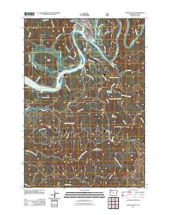
 2011 Eddyville2011 Print · USGSCovers Lincoln County, including Eddyville, Chitwood, and other nearby areas
 - 2011 Map of Nortons, 2011 Print
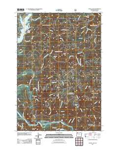
 2011 Nortons2011 Print · USGSCovers Lincoln County, including Nortons, Polk County, and other nearby areas
 - 2014 Map of Neskowin OE W, 2014 Print
 2014 Neskowin OE W2014 Print · USGSCovers Lincoln County, including Lincoln City, Tillamook County, and other nearby areas
 - 2014 Map of Newport South, 2014 Print
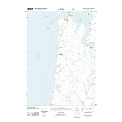
 2014 Newport South2014 Print · USGSCovers Lincoln County, including Newport, Ona, and other nearby areas
 - 2014 Map of Newport North, 2014 Print
 2014 Newport North2014 Print · USGSCovers Lincoln County, including Newport, Otter Rock, and other nearby areas
 - 2014 Map of Yachats, 2014 Print
 2014 Yachats2014 Print · USGSCovers Lincoln County, including Yachats, San Marine, and other nearby areas
 - 2014 Map of Valsetz, 2014 Print
 2014 Valsetz2014 Print · USGSCovers Lincoln County, including Polk County, United States, and other nearby areas
 - 2014 Map of Summit, 2014 Print
 2014 Summit2014 Print · USGSCovers Lincoln County, including Summit, Nashville, and other nearby areas
Showing maps 1-25 of 125
Top cities of Lincoln County
- Newport historical maps
- Lincoln City historical maps
- Toledo historical maps
- Waldport historical maps
- Depoe Bay historical maps
- Siletz historical maps
See more
Frequently asked questions
- What are the different types of historical maps available for Lincoln County?
- What is the oldest map of Lincoln County?
- Where can I purchase historical maps of Lincoln County for my home or office?
- Where can I download high-res historical maps of Lincoln County?
- Are there historical topographic maps available for Lincoln County?
- Is there historical aerial imagery available for Lincoln County?
- Where are historical maps of Lincoln County sourced from?