2020s Maps of Lincoln County, Oregon
Explore 64 historic maps of Lincoln County from the 2020s. These maps offer a rare glimpse into what life looked like during the 2020s — showing old roads, neighborhoods, homes, and landmarks that have changed or disappeared over time.
Whether you're researching your family's past, planning a metal detecting trip, or studying how Lincoln County's landscape evolved across the 2020s, these high-resolution maps are a powerful tool for exploring the history of this region.
- Focus on a specific era: All maps on this page are from the 2020s, giving you a focused view of this time period.
- See what’s changed: Compare century-old streets, trails, and buildings to today's modern landscape using overlays and satellite layers.
- Research with precision: Use these maps for genealogy, historical research, land use analysis, or educational projects.
- View, download, or print: Maps are fully viewable online in high resolution, and can be downloaded or printed for your own records.
Start exploring Lincoln County's history through authentic maps from the 2020s. This is your window into the past.
Lincoln County, OR maps
(64)- 2020 Map of Neskowin OE W, 2020 Print
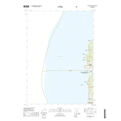 2020 Neskowin OE W2020 Print · USGSCoastal Oregon at the turn of the decade reveals the intersection of residential growth and federal conservation. Genealogists and hikers can trace the streets of Roads End up to the wilderness boundaries of Cascade Head and the secluded Harts Cove.
 - 2020 Map of Lincoln City, 2020 Print
 2020 Lincoln City2020 Print · USGSCoastal Lincoln County at the start of the 2020s shows the connected string of shorefront communities before the modern era's further expansion. Genealogists and local historians can trace the foundations of Wecoma Beach and Taft, or locate family sites near Taft Cem and Devils Lake.
 - 2020 Map of Newport South, 2020 Print
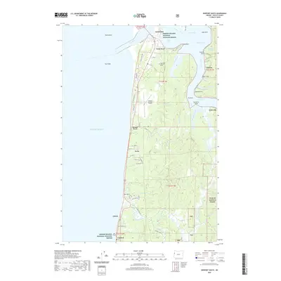 2020 Newport South2020 Print · USGSThe Oregon coast south of the Yaquina River comes into focus during this modern era of conservation and community growth. Trace the shoreline from S Beach State Park down to Seal Rock, passing through small coastal settlements like Holiday Beach and Ona Beach.
 - 2020 Map of Depoe Bay, 2020 Print
 2020 Depoe Bay2020 Print · USGSThe Oregon coast at Depoe Bay is shown in its contemporary configuration, balancing residential expansion with its traditional maritime heritage. Researchers can trace the development of coastal enclaves like Coronado Shores and Lincoln Beach alongside landmarks like Cape Foulweather and the Ben Jones Bridge.
 - 2020 Map of Newport North, 2020 Print
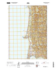 2020 Newport North2020 Print · USGSCoastal Oregon at the turn of the decade reveals a landscape of growing seaside towns and dramatic geology. Researchers can trace local history through sites like Eureka Cem, the Lincoln County Courthouse, and the landmark Yaquina Head.
 - 2020 Map of Yachats, 2020 Print
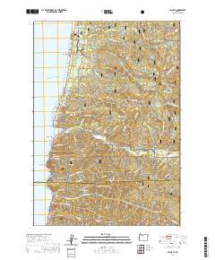 2020 Yachats2020 Print · USGSThe Oregon coast at the onset of the 2020s shows the tight integration of seaside towns and the massive Siuslaw National Forest. You can trace the rugged shoreline from Strawberry Hill to Cape Perpetua, locating local landmarks like the Carson Cem and the Giant Spruce.
 - 2020 Map of Euchre Mountain, 2020 Print
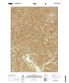 2020 Euchre Mountain2020 Print · USGSThe Oregon Coast Range in Lincoln County remains a vast timber and river landscape during the early twenty-first century. Researchers can map the drainages of the Siletz River and locate specific terrain features like Euchre Falls, Powderhouse Hole, and Gobblers Knob.
 - 2020 Map of Nortons, 2020 Print
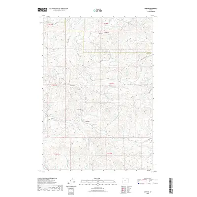 2020 Nortons2020 Print · USGSCoastal range settlement and timber country are documented here in the early twenty-first century. Genealogists and local historians can locate family landmarks such as Nortons Cem, Wigle Cem, and the old School Hill near the Yaquina River.
 - 2020 Map of Summit, 2020 Print
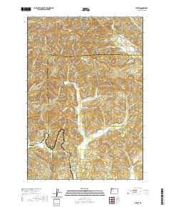 2020 Summit2020 Print · USGSThe high divide of the Oregon Coast Range is captured here in the late twenty-teens, showing the headwaters of three major river systems. Genealogists can locate family burial grounds including Mays Strouts Cem and Claremont Cem near the settlements of Nashville and Summit.
 - 2020 Map of Eddyville, 2020 Print
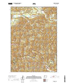 2020 Eddyville2020 Print · USGSThe Oregon Coast Range in 2020 remains a landscape of deep river valleys and small riverside hamlets. Researchers can trace family sites at Chitwood Cem and Eddy Cem, or follow old routes across the Siletz River at Orton Bridge.
 - 2020 Map of Waldport, 2020 Print
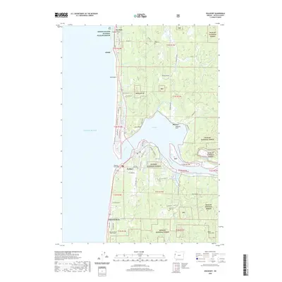 2020 Waldport2020 Print · USGSThe Oregon Coast near Waldport is documented here as a landscape of timbered hills and tidal sloughs. Researchers can trace family sites near Memorial Home Cem, the small settlements of Seal Rock, and the early layout of Wakonda Beach.
 - 2020 Map of Elk City, 2020 Print
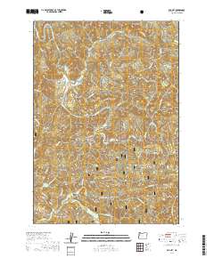 2020 Elk City2020 Print · USGSCoastal Oregon terrain in the late 2010s is defined here by the winding Big Elk Creek and the protected lands of Siuslaw National Forest. Researchers can trace old family sites near Glenwood Cem or follow the ridgelines of Errol Ridge and Mill Creek Divide.
 - 2020 Map of Valsetz, 2020 Print
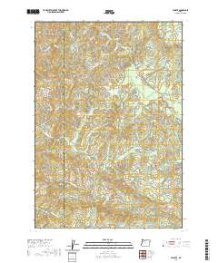 2020 Valsetz2020 Print · USGSThe high timber country of the Oregon Coast Range comes into focus in this recent survey of the Polk and Lincoln county line. Researchers can trace the headwaters of the Siletz River and locate landmarks like Valsetz Falls, Fanno Peak, and Buckskin Flat.
 - 2020 Map of Mowrey Landing, 2020 Print
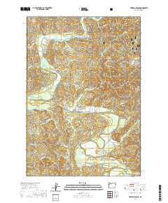 2020 Mowrey Landing2020 Print · USGSCoastal Oregon's timbered hills and winding river bends are captured here in the years following the millennium. Genealogists and local historians can trace family land and rural access points along the Siletz River near Mowrey Landing and the Ojalla Bridge.
 - 2020 Map of Tidewater, 2020 Print
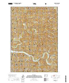 2020 Tidewater2020 Print · USGSThe Alsea River valley comes into focus during the early twenty-first century, showing the intersection of coastal timberlands and riverside life. Researchers can trace local genealogy at Tidewater Cem or explore the geography of Little Albany and Barclay Meadows.
 - 2020 Map of Warnicke Creek, 2020 Print
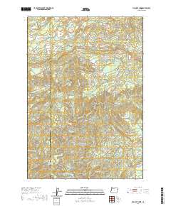 2020 Warnicke Creek2020 Print · USGSPolk and Lincoln counties are shown at the height of the modern era, revealing a landscape defined by the rugged headwaters of the Siletz and Salmon rivers. Researchers can trace historical hydrology and land features like Crowley Mine Cr, Rooster Rock, and Stott Mtn.
 - 2020 Map of Midway, 2020 Print
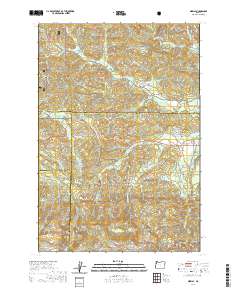 2020 Midway2020 Print · USGSThe headwaters of the Yamhill and Salmon Rivers meet at the intersection of four counties in this 2020 survey of the Oregon Coast Range. Genealogists and local historians can trace the remote settlements of Boyer and Midway or locate landmarks like Saddle Bag Mtn and Hidout Reservoir.
 - 2020 Map of Neskowin, 2020 Print
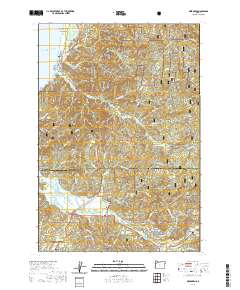 2020 Neskowin2020 Print · USGSThe Oregon coast at the start of the 2020s shows a landscape balancing modern growth with vast protected wilderness. Researchers can trace the layout of coastal villages like Neskowin and Rose Lodge or locate landmarks such as Proposal Rock and Cascade Head.
 - 2020 Map of Dolph, 2020 Print
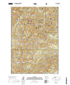 2020 Dolph2020 Print · USGSCoastal timberlands and river headwaters come into focus in this contemporary survey of the Yamhill and Tillamook county line. Researchers can trace the path of the Little Nestucca River, find the small settlement of Dolph, and locate landmarks like Gunaldo Falls and Saddle Bag Mtn.
 - 2020 Map of Hellion Rapids, 2020 Print
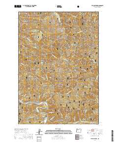 2020 Hellion Rapids2020 Print · USGSThe Oregon Coast Range near the Alsea River comes into focus in this recent survey of Lincoln County’s timberlands. Researchers can trace the rugged drainage patterns of the Siuslaw National Forest and locate specific landmarks like Hellion Rapids, Ayers Lake, and Carns Canyon.
 - 2020 Map of Devils Lake, 2020 Print
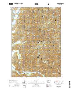 2020 Devils Lake2020 Print · USGSCoastal Oregon at the start of the 2020s shows a landscape of dense timber and tidal estuaries centered on the Siletz River. Researchers can trace the winding river bends near Chinook Bend or locate landmarks like Pacific View Memorial Gardens and Ball Mtn.
 - 2020 Map of Harlan, 2020 Print
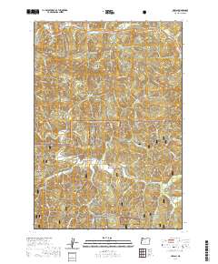 2020 Harlan2020 Print · USGSThe Oregon Coast Range near Harlan is shown in detail during the late 2010s, revealing the intersection of mountain ridges and valley life. Local historians can trace family sites at Harlan Cem or follow the waters of Big Elk Cr through Big Elk Valley.
 - 2020 Map of Alsea, 2020 Print
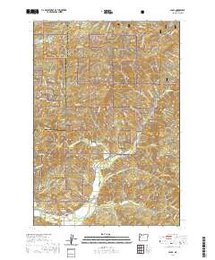 2020 Alsea2020 Print · USGSBenton County's timber and river country is meticulously documented here as it appeared in the early 21st century. Researchers can locate family landmarks like the Alsea Cem and Cathcart Springs or trace the rugged topography of Old Blue Mtn and Easter Ridge.
 - 2020 Map of Digger Mountain, 2020 Print
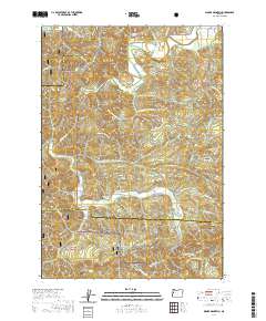 2020 Digger Mountain2020 Print · USGSThe Oregon Coast Range at the junction of Lane, Benton, and Lincoln Counties is documented here during a period of modern forest management. Researchers can trace family sites like Lone Fir Cem and explore the winding valleys of Alsea Valley and Missouri Bend.
 - 2020 Map of Five Rivers, 2020 Print
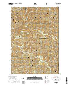 2020 Five Rivers2020 Print · USGSThe remote interior of the Oregon Coast Range is captured here in the late twenty-teens, showing the rugged timberlands where three counties meet. Researchers can trace the drainage of Five Rivers and locate the settlement of Fisher or the terrain of Fleece Ridge.
Showing maps 1-25 of 64
Top cities of Lincoln County
- Newport historical maps
- Lincoln City historical maps
- Toledo historical maps
- Waldport historical maps
- Depoe Bay historical maps
- Siletz historical maps
See more
Frequently asked questions
- What are the different types of historical maps available for Lincoln County?
- What is the oldest map of Lincoln County?
- Where can I purchase historical maps of Lincoln County for my home or office?
- Where can I download high-res historical maps of Lincoln County?
- Are there historical topographic maps available for Lincoln County?
- Is there historical aerial imagery available for Lincoln County?
- Where are historical maps of Lincoln County sourced from?