2010s Maps of Lincoln County, Oregon
Explore 93 historic maps of Lincoln County from the 2010s. These maps offer a rare glimpse into what life looked like during the 2010s — showing old roads, neighborhoods, homes, and landmarks that have changed or disappeared over time.
Whether you're researching your family's past, planning a metal detecting trip, or studying how Lincoln County's landscape evolved across the 2010s, these high-resolution maps are a powerful tool for exploring the history of this region.
- Focus on a specific era: All maps on this page are from the 2010s, giving you a focused view of this time period.
- See what’s changed: Compare century-old streets, trails, and buildings to today's modern landscape using overlays and satellite layers.
- Research with precision: Use these maps for genealogy, historical research, land use analysis, or educational projects.
- View, download, or print: Maps are fully viewable online in high resolution, and can be downloaded or printed for your own records.
Start exploring Lincoln County's history through authentic maps from the 2010s. This is your window into the past.
Lincoln County, OR maps
(93)- 2011 Map of Neskowin OE W, 2011 Print
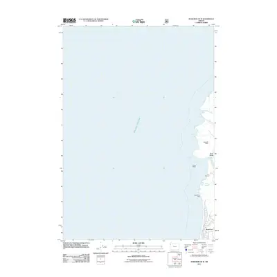 2011 Neskowin OE W2011 Print · USGSThe Oregon coast at the start of the 2010s reveals a distinct boundary between the northern edge of Lincoln City and the heights of Cascade Head. Genealogists and researchers can trace local landmarks like Roads End, Camp Westwind, and the estuary near Three Rocks.
 - 2011 Map of Midway, 2011 Print
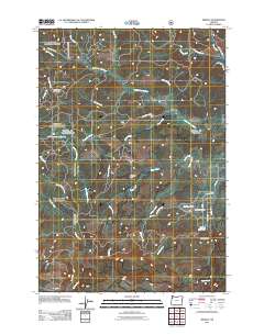 2011 Midway2011 Print · USGSThe Coast Range highlands of Yamhill County are captured here at the start of the twenty-first century, showing a landscape defined by forestry and river headwaters. Genealogists and historians can trace old mountain routes like SW Old Toll Rd and locate landmarks such as Rock Creek Hideout or the Hidout Reservoir.
 - 2011 Map of Waldport, 2011 Print
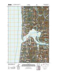 2011 Waldport2011 Print · USGSThe Oregon coast at Waldport is captured here just after the first decade of the millennium, showing a landscape shaped by the Alsea River and the Pacific. Researchers can trace local landmarks like the Fern Ridge Cemetery, Eckman Quarry, and the shoreline at Seal Rock.
 - 2011 Map of Neskowin, 2011 Print
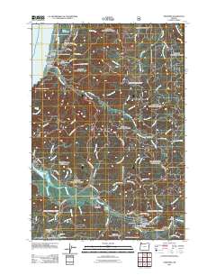 2011 Neskowin2011 Print · USGSThe Oregon coast at the turn of the decade features a network of river-valley settlements and coastal outposts. Genealogists and researchers can trace local landmarks like the Neskowin Post Office, Salmon River Hatchery, and the distinctive sea stack at Proposal Rock.
 - 2011 Map of Newport South, 2011 Print
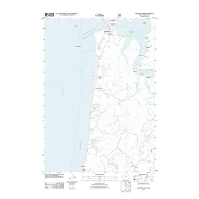 2011 Newport South2011 Print · USGSThe Oregon coast south of the Yaquina River mouth is captured here during a period of modern development and research. Researchers can trace coastal hamlets and institutional landmarks like Holiday Beach, the South Beach Post Office, and the Hatfield Marine Science Center.
 - 2011 Map of Dolph, 2011 Print
 2011 Dolph2011 Print · USGSYamhill County timberlands and river valleys are captured here in the early twenty-first century. Researchers can trace the complex drainage of the Salmon River and Little Nestucca River, identifying landmarks like Gunaldo Falls and Yach Bridge.
 - 2011 Map of Yachats, 2011 Print
 2011 Yachats2011 Print · USGSThe Oregon coast at the start of the 2010s reveals a landscape of rugged headlands and timber history. Genealogists and hikers can trace the coastal settlements of San Marine and Tillicum Beach, or locate landmarks like Carson Cemetery and the Big Creek Log Pond.
 - 2011 Map of Harlan, 2011 Print
 2011 Harlan2011 Print · USGSCoastal Oregon mountain life is captured here in the early twenty-first century, centered on the Big Elk Valley timber and ranching country. Researchers can pinpoint the Harlan Cemetery and trace the winding paths of Big Elk Creek and Beaver Creek.
 - 2011 Map of Digger Mountain, 2011 Print
 2011 Digger Mountain2011 Print · USGSLane County’s river-carved Coast Range is captured here in the early twenty-first century, showing a landscape defined by its timber roads and winding watercourses. Genealogists and local historians can locate the Lone Fir Cemetery or trace the rural origins of Missouri Bend and the Missouri Bend School.
 - 2011 Map of Stott Mountain, 2011 Print
 2011 Stott Mountain2011 Print · USGSCoastal Oregon highlands are captured here in the early twenty-first century as a landscape of timber and steep drainages. Researchers can locate the Suncrest Point Lookout and remote landmarks such as Horner Ranch, Four Cabin Corner, and Stott Mountain.
 - 2011 Map of Devils Lake, 2011 Print
 2011 Devils Lake2011 Print · USGSThe Oregon coast at Lincoln City and Devils Lake is shown here in the early twenty-first century as the seaside community meets the rugged coast range. Trace the winding Siletz River to find Chinook Bend, Medicine Rock, and old riverside points like Sunset Landing.
 - 2011 Map of Mowrey Landing, 2011 Print
 2011 Mowrey Landing2011 Print · USGSCoastal Oregon river life is centered on the serpentine Siletz River in the early twenty-first century. Researchers can trace riverside access points and rural landmarks like Mowrey Landing, Ojala Bridge, and the high point of Cannery Mountain.
 - 2011 Map of Elk City, 2011 Print
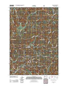 2011 Elk City2011 Print · USGSThe Oregon Coast Range is documented here in the early twenty-first century as a landscape of timber ridges and winding creek drainages. Researchers can locate the Glenwood Cemetery and trace the historic settlement at Elk City near the Baber Lookout.
 - 2011 Map of Five Rivers, 2011 Print
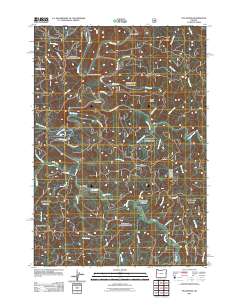 2011 Five Rivers2011 Print · USGSCoastal Oregon mountain life is centered around the Alsea River in this 2011 survey of Lane County. Researchers can trace the remote settlements of Fisher and Paris alongside landmarks like Denzer Bridge and Cascade Falls.
 - 2011 Map of Euchre Mountain, 2011 Print
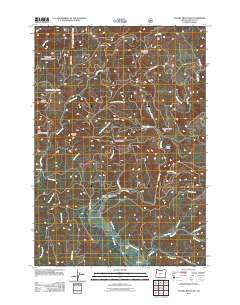 2011 Euchre Mountain2011 Print · USGSThe Siletz River valley and the surrounding Coast Range peaks are captured here in the early twenty-first century. Researchers can trace remote landmarks like Peck Cabin, identify water features such as Powderhouse Hole, and locate the site of Gorge Camp.
 - 2011 Map of Tidewater, 2011 Print
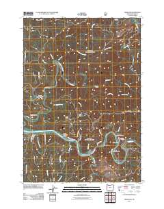 2011 Tidewater2011 Print · USGSCoastal Oregon river life and upland forests are documented here in the early 21st century as the Alsea River valley transitions into the Siuslaw National Forest. Researchers can trace local communities such as Westwood Village or locate historic sites like Tidewater Cemetery and the Tidewater Post Office.
 - 2011 Map of Cannibal Mountain, 2011 Print
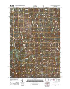 2011 Cannibal Mountain2011 Print · USGSThe upper reaches of the Yachats River basin are captured here in the early twenty-first century. Genealogists and local historians can trace the geography around Upper Yachats, the Upper Yachats School, and the remote high ground of Durbin Meadows.
 - 2011 Map of Marys Peak, 2011 Print
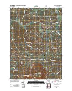 2011 Marys Peak2011 Print · USGSIn the Oregon Coast Range during the early 2010s, these timbered slopes and creek valleys supported small communities and mountain camps. Genealogists can trace local roots through the Blodgett Cemetery or Leslie Cemetery, while hikers can locate the Marys Peak Observation Point.
 - 2011 Map of Hellion Rapids, 2011 Print
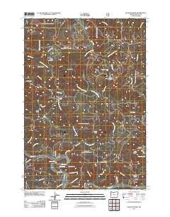 2011 Hellion Rapids2011 Print · USGSCoastal Oregon mountains and the Alsea River corridor are mapped here as they appeared in the early 2010s. Researchers can trace land features from Bohannon Ranch to the Fall Creek Fish Hatchery, including landmarks like Hellion Rapids.
 - 2011 Map of Alsea, 2011 Print
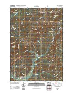 2011 Alsea2011 Print · USGSBenton County's timber and river country is captured here during the early twenty-first century, centered on the community of Alsea. Researchers can trace the local cemetery, the Alsea River Hatchery, and landmarks like Old Blue Mountain and Alsea Summit.
 - 2011 Map of Depoe Bay, 2011 Print
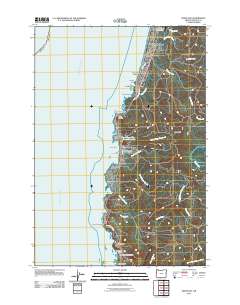 2011 Depoe Bay2011 Print · USGSThe Oregon coast at Depoe Bay is captured here during the early 2010s, showing a landscape of high sea cliffs and coastal neighborhoods. Trace the winding Otter Crest Loop or locate landmarks like the Ben Jones Bridge and Briggs Landing along the shore.
 - 2011 Map of Newport North, 2011 Print
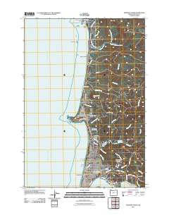 2011 Newport North2011 Print · USGSCoastal Lincoln County is captured here in the early twenty-first century, showing the developed shoreline from the Devils Punchbowl Arch to the busy docks of Newport. Researchers can trace the layout of Eureka Cemetery and maritime landmarks like Yaquina Head or Jumpoff Joe.
 - 2011 Map of Toledo South, 2011 Print
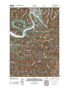 2011 Toledo South2011 Print · USGSThe Yaquina River and its intricate sloughs define the landscape south of Toledo during the early twenty-first century. Genealogists and historians can trace the geography of settlements like Elk City and Oysterville, or locate landmarks such as the Toledo Post Office.
 - 2011 Map of Lincoln City, 2011 Print
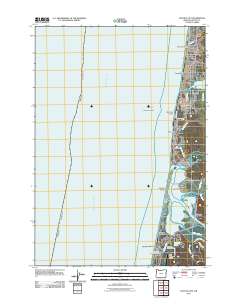 2011 Lincoln City2011 Print · USGSThe Central Oregon Coast is captured here in the early 2010s, showing the unified communities of LINCOLN CITY and the surrounding Siletz Bay region. Researchers can trace the layout of historic beachfront districts like Wecoma Beach, locate the Taft Cemetery, and study the estuary near Siletz Keys.
 - 2011 Map of Grass Mountain, 2011 Print
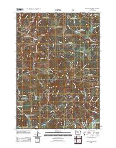 2011 Grass Mountain2011 Print · USGSBenton County forest lands and the high ridges of the Oregon Coast Range are charted here in the early twenty-first century. Researchers can locate the Fall Creek Fish Hatchery and trace family-named landmarks like Sharp Ranch and Creel Hill.
Showing maps 1-25 of 93
Top cities of Lincoln County
- Newport historical maps
- Lincoln City historical maps
- Toledo historical maps
- Waldport historical maps
- Depoe Bay historical maps
- Siletz historical maps
See more
Frequently asked questions
- What are the different types of historical maps available for Lincoln County?
- What is the oldest map of Lincoln County?
- Where can I purchase historical maps of Lincoln County for my home or office?
- Where can I download high-res historical maps of Lincoln County?
- Are there historical topographic maps available for Lincoln County?
- Is there historical aerial imagery available for Lincoln County?
- Where are historical maps of Lincoln County sourced from?