Old Maps of Bridal Veil, Oregon for Metal Detecting
Plan your next treasure hunt with 14 historic maps of Bridal Veil. Find old homesites, ghost towns, trails, and gathering spots that may be lost to time — perfect for identifying promising metal detecting locations.
- Locate forgotten sites: Uncover places like long-lost settlements, abandoned rail lines, or gathering spots.
- Plan better hunts: Use map overlays combined with LiDAR or satellite views to narrow in on historically rich areas.
- Made for detectorists: Thousands of hobbyists use these maps to discover relics, coins, and hidden history.
Use these historic maps to boost your research and find new opportunities beneath the surface of Bridal Veil.
Bridal Veil, OR maps
(14)- 1948 Map of Vancouver, 1957 Print
 1948 Vancouver1957 Print · USGSPost-war growth transforms the river valleys of the Pacific Northwest as the timber and rail economy thrives. Trace family roots in Tillamook or Oregon City, and locate vanished landmarks like the spit at Bayocean or the Skamania Mine.
 - 1950 Map of Vancouver
 1950 Vancouver1950 Print · USGSCoastal Oregon and the lower Columbia River valley are captured in detail just after the war. Researchers can trace historic rail routes like the Southern Pacific or locate early settlements such as Vernonia, Gaston, and the Grand Ronde Indian Reservation.
 - 1950 Map of Vancouver, 1951 Print
 1950 Vancouver1951 Print · USGSThe Pacific Northwest urban corridor meets the rugged coast in the years following the war, showing the expansion of Portland and Vancouver. Genealogists and historians can trace the reach of the Southern Pacific RR and locate coastal communities like Tillamook, Seaside, and Tolovana Park.
 - 1954 Map of Bridal Veil, 1958 Print
 1954 Bridal Veil1958 Print · USGSThe Columbia River Gorge in the mid-1950s was a bustling corridor of rail lines and early highways. Genealogists and historians can trace the foundations of riverside communities like Bridal Veil and Dodson or locate industrial sites like the Skamania Mine.4 unique versions available
 - 1958 Map of Vancouver, 1968 Print
 1958 Vancouver1968 Print · USGSThe Lower Columbia and Willamette valleys thrive in the late sixties as major rail and river hubs. Genealogists and historians can trace the development of Portland, identify the grounds of Camp Withycombe, and locate coastal landmarks from Tillamook Head to Garibaldi.3 unique versions available
 - 1964 Map of Vancouver
 1964 Vancouver1964 Print · USGSThe Pacific Northwest interior and coast are shown here in the 1960s, from the Portland metropolitan hub to the rugged Pacific shoreline. Researchers can trace the legacy of the Grand Ronde Indian Reservation, the early layout of McMinnville, and the maritime approaches near Tillamook Head.
 - 1979 Map of Vancouver, 1980 Print
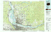 1979 Vancouver1980 Print · USGSThe Portland and Vancouver metropolitan area is captured here in the late seventies, showing the dense nexus of river, rail, and air transit. Genealogists and local historians can trace the footprints of Vancouver Barracks, Lincoln Memorial Park Cem, and the old rail lines of the Burlington Northern.2 unique versions available
 - 1986 Map of Bridal Veil
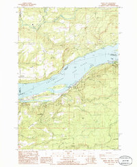 1986 Bridal Veil1986 Print · USGSThe Columbia River Gorge in the mid-1980s reveals a landscape of dramatic riverside cliffs and historic parklands. Researchers can trace the development of riverfront settlements like Prindle and Bridal Veil or locate landmarks like Rooster Rock and the Pillars of Hercules.2 unique versions available
 - 1994 Map of Bridal Veil, 1996 Print
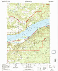 1994 Bridal Veil1996 Print · USGSThe Columbia River Gorge in the mid-nineties shows a landscape defined by dramatic cliffs and the legacy of early highway engineering. Researchers can trace the paths to iconic sites like Vista House, Rooster Rock, and the historic settlement of Bridal Veil.
 - 2011 Map of Bridal Veil, 2011 Print
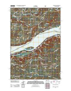 2011 Bridal Veil2011 Print · USGSThe Columbia River Gorge at the start of the 2010s reveals a corridor of waterfalls and riverside settlements spanning the Oregon and Washington border. Genealogists and hikers can trace the geography of Bridal Veil, Latourell, and the grounds of Rooster Rock Park.
 - 2014 Map of Bridal Veil, 2014 Print
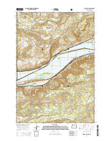 2014 Bridal Veil2014 Print · USGSThe Columbia River Gorge at the start of the twenty-first century reveals a landscape of dramatic falls and riverside settlements. Genealogists and historians can trace the foundations of Bridal Veil and Latourell, or locate landmarks like Schoolhouse Spring and Crown Point.
 - 2017 Map of Bridal Veil, 2017 Print
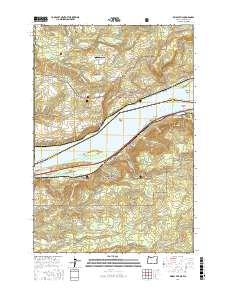 2017 Bridal Veil2017 Print · USGSThe Columbia River Gorge in the late 2010s reveals a landscape of high waterfalls and riverside communities. Researchers can locate specific geological landmarks like the Pillars of Hercules, the heights of Angels Rest, and local sites such as Schoolhouse Spring.
 - 2020 Map of Bridal Veil, 2020 Print
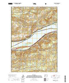 2020 Bridal Veil2020 Print · USGSThe Columbia River Gorge at the start of the 2020s shows the enduring settlements and steep terrain of both the Oregon and Washington shores. Researchers can trace the river's path through Broughton Reach to find historic sites like Crown Point, Bridal Veil, and Shepperds Dell.
 - 2024 Map of Bridal Veil, 2024 Print
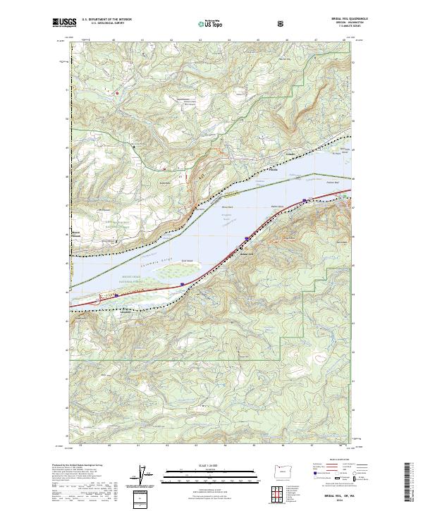 2024 Bridal Veil2024 Print · USGSThe Columbia River Gorge remains a site of immense geographic drama in the 2020s, bridging the gap between Skamania and Multnomah counties. Researchers can trace the riverfront rail lines near Cruzatt or locate family history at Mount Pleasant Cem and Belle Center Cem.
End of results
Showing maps 1-14 of 14
Top cities near Bridal Veil
- Gresham historical maps
- Camas historical maps
- Springdale historical maps
- Washougal historical maps
- Troutdale historical maps
- Sandy historical maps
See more
Frequently asked questions
- What are the different types of historical maps available for Bridal Veil?
- What is the oldest map of Bridal Veil?
- Where can I purchase historical maps of Bridal Veil for my home or office?
- Where can I download high-res historical maps of Bridal Veil?
- Are there historical topographic maps available for Bridal Veil?
- Is there historical aerial imagery available for Bridal Veil?
- Where are historical maps of Bridal Veil sourced from?