
1954 Map of Bridal Veil
USGS Topo · Published 1958About this map
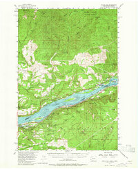
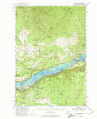
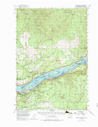
The Columbia River serves as the dominant artery of this landscape, separating the high peaks of the Gifford Pinchot National Forest in Washington from the waterfall-rich cliffs of Oregon. In the mid-1950s, the river corridor was a dense network of transportation and industry, with the Spokane Portland and Seattle Railway tracing the northern bank while the Union Pacific Railroad and Pacific Highway run parallel to the south. Small settlements like Bridal Veil and Warrendale sit along the water, reflecting a period when river-level commerce was still central to the region's economy. Away from the river, the map reveals the extractive and protective history of the Cascades, from the Last Chance Mine and Skamania Mine in the northern hills to the Washougal Ranger Station and numerous lookouts, such as the one atop Three Corner Rock. The proliferation of early state parks, including Rooster Rock State Park and Ainsworth State Park, highlights the era's transition toward recreation and conservation.
Find a feature on this map
96 named features on this map. Tap any name to fly to it.
Don’t see what you’re looking for? This feature index may not catch every label — zoom into the map to look around manually.
Map Details
Editions of this 1954 Bridal Veil Map
4 editions found
Other maps of this area

1911 · Boring
USGS Topo · 1:48,000

1914 · Boring
USGS Topo · 1:62,500

1916 · Estacada
USGS Topo · 1:125,000

1918 · Troutdale
USGS Topo · 1:62,500

1924 · Mount Hood
USGS Topo · 1:125,000

1926 · Hood River
USGS Topo · 1:125,000

1927 · Mount Hood
USGS Topo · 1:125,000

1929 · Hood River
USGS Topo · 1:125,000

1934 · Troutdale
USGS Topo · 1:48,000

1940 · Lookout Mtn
USGS Topo · 1:62,500