2000s (21st Century) Maps of Pendleton, Oregon
Explore 13 historic maps of Pendleton from the 2000s (21st Century). These maps offer a rare glimpse into what life looked like during the 2000s — showing old roads, neighborhoods, homes, and landmarks that have changed or disappeared over time.
Whether you're researching your family's past, planning a metal detecting trip, or studying how Pendleton's landscape evolved across the 2000s, these high-resolution maps are a powerful tool for exploring the history of this region.
- Focus on a specific era: All maps on this page are from the 2000s, giving you a focused view of this time period.
- See what’s changed: Compare century-old streets, trails, and buildings to today's modern landscape using overlays and satellite layers.
- Research with precision: Use these maps for genealogy, historical research, land use analysis, or educational projects.
- View, download, or print: Maps are fully viewable online in high resolution, and can be downloaded or printed for your own records.
Start exploring Pendleton's history through authentic maps from the 2000s. This is your window into the past.
Pendleton, OR maps
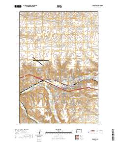
(13)- 2011 Map of Mission, 2011 Print
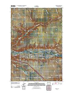 2011 Mission2011 Print · USGSCovers Pendleton, including Mission, Fulton, and other nearby areas
 - 2011 Map of Barnhart, 2011 Print
 2011 Barnhart2011 Print · USGSCovers Pendleton, including Barnhart, Umatilla County, and other nearby areas
 - 2014 Map of Pendleton, 2014 Print
 2014 Pendleton2014 Print · USGSCovers Pendleton, including Rieth, Glendale, and other nearby areas
 - 2014 Map of Mission, 2014 Print
 2014 Mission2014 Print · USGSCovers Pendleton, including Mission, Fulton, and other nearby areas
 - 2017 Map of Barnhart, 2017 Print
 2017 Barnhart2017 Print · USGSCovers Pendleton, including Barnhart, Umatilla County, and other nearby areas
 - 2017 Map of Mission, 2017 Print
 2017 Mission2017 Print · USGSCovers Pendleton, including Mission, Fulton, and other nearby areas
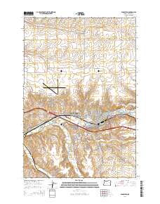
 - 2017 Map of Pendleton, 2017 Print
 2017 Pendleton2017 Print · USGSCovers Pendleton, including Rieth, Glendale, and other nearby areas
 - 2020 Map of Mission, 2020 Print
 2020 Mission2020 Print · USGSCovers Pendleton, including Mission, Fulton, and other nearby areas
 - 2020 Map of Barnhart, 2020 Print
 2020 Barnhart2020 Print · USGSCovers Pendleton, including Barnhart, Umatilla County, and other nearby areas
 - 2020 Map of Pendleton, 2020 Print
 2020 Pendleton2020 Print · USGSCovers Pendleton, including Rieth, Glendale, and other nearby areas
 - 2023 Map of Barnhart, 2023 Print
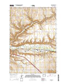
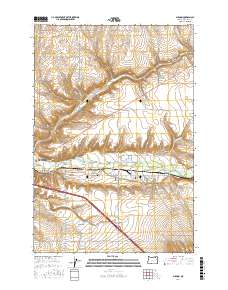
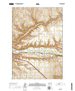
 2023 Barnhart2023 Print · USGSThe Umatilla River valley and the settlement of Rieth are captured in this recent survey. Researchers can trace land use near Rieth Ridge and follow rural routes like Yoakum Rd and Stage Gulch Rd.
 - 2024 Map of Mission, 2024 Print
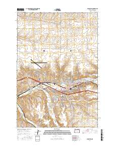
 2024 Mission2024 Print · USGSThe Umatilla River valley east of Pendleton is shown here in its modern context, centered on the community of Mission. Genealogists can trace family heritage at the Old Agency Cem, Saint Andrews Mission Cem, and the Tutuilla Presbyterian Indian Mission Cem.
 - 2024 Map of Pendleton, 2024 Print
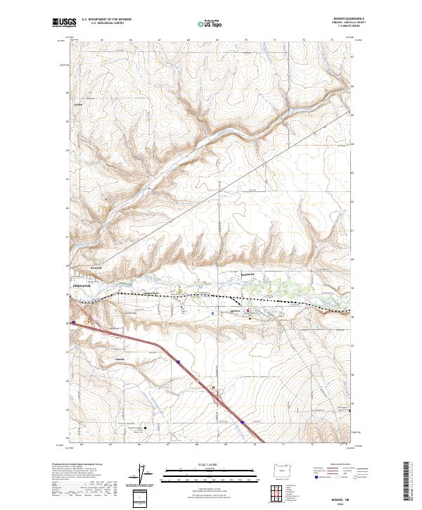
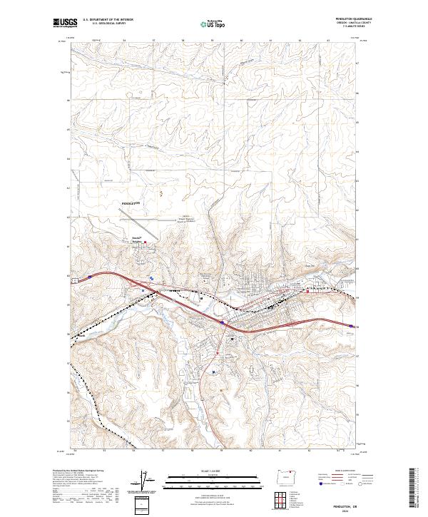 2024 Pendleton2024 Print · USGSPendleton and the surrounding Umatilla River valley are captured in this recent survey, showing the modern intersection of aviation, rail, and county government. Researchers can locate the Olney Cem, the Umatilla County Courthouse, and the settlement of Rieth.
End of results
Showing maps 1-13 of 13
Top cities near Pendleton
Top neighborhoods of Pendleton
Frequently asked questions
- What are the different types of historical maps available for Pendleton?
- What is the oldest map of Pendleton?
- Where can I purchase historical maps of Pendleton for my home or office?
- Where can I download high-res historical maps of Pendleton?
- Are there historical topographic maps available for Pendleton?
- Is there historical aerial imagery available for Pendleton?
- Where are historical maps of Pendleton sourced from?