Old Maps of Pendleton, Oregon for Academic Research
Study the evolution of Pendleton with 20 high-resolution historic maps. Whether you're teaching, researching, or modeling changes in land use, these maps provide essential visual documentation of urban, environmental, and geographic change.
- Analyze long-term change: Track patterns in development, transportation, and natural features.
- Ideal for environmental or urban studies: Support academic projects with primary historical map data.
- Use in the classroom or lab: Educators and researchers rely on these maps to bring historical context to life.
These maps are a powerful tool for teaching, research, and visualizing how Pendleton has changed over the decades.
Pendleton, OR maps
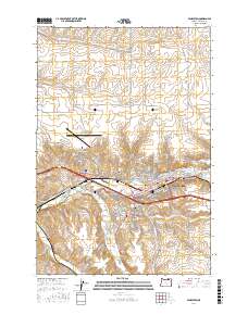
(20)- 1935 Map of Pendleton
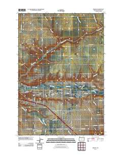
 1935 Pendleton1935 Print · USGSPendleton and the surrounding Umatilla River valley are captured in the mid-1930s as the region solidified its role as a transportation and agricultural hub. Genealogists can locate numerous named rural schoolhouses such as Campbell Sch and North Yoakum Sch, or trace family sites near the Umatilla Indian Reservation and Cabbage Hill.3 unique versions available
 - 1953 Map of Pendleton, 1957 Print
 1953 Pendleton1957 Print · USGSNortheastern Oregon and the Columbia River frontier are captured here in the early fifties, a time of massive federal infrastructure projects. Researchers can trace the historic route of The Old Oregon Trail as it passes near the Umatilla Ordnance Depot and the new McNary Dam.4 unique versions available
 - 1956 Map of Pendleton
 1956 Pendleton1956 Print · USGSNortheastern Oregon’s high plateau and timbered peaks appear here in the mid-fifties, during a time of major military and hydroelectric development. Trace the path of The Old Oregon Trail alongside modern landmarks like McNary Dam and the Umatilla Ordnance Depot.
 - 1966 Map of Pendleton, 1967 Print
 1966 Pendleton1967 Print · USGSPendleton at the height of its mid-century growth remains tied to its rail-and-river roots along the Umatilla River. Genealogists and local historians can trace the Old Indian Treaty Bdy, locate graves at Olney Cemetery, or find the historic Roundup Grounds.3 unique versions available
 - 1966 Map of Mission, 1967 Print
 1966 Mission1967 Print · USGSUmatilla County in the mid-sixties reveals a landscape of high-desert agriculture and tribal administration centered on Mission. Genealogists and historians can trace the Old Agency Cem, the Tutuhilla Mission, and the Rodeo Grounds.2 unique versions available
 - 1966 Map of Barnhart, 1967 Print
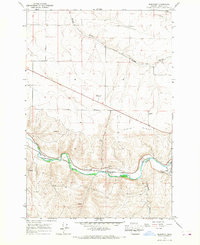 1966 Barnhart1967 Print · USGSUmatilla County in the mid-sixties shows a bustling transport corridor where the Umatilla River and Union Pacific rail lines meet. Genealogists and local historians can trace the developments at Barnhart, the residential layout of Rieth, and rural landmarks like the quarry and Stage Gulch.2 unique versions available
 - 1983 Map of Pendleton, 1984 Print
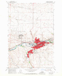
 1983 Pendleton1984 Print · USGSPendleton and the Blue Mountain foothills are captured here in the early eighties as a hub of rail, ranching, and forest management. Genealogists and historians can trace local landmarks like Indian Agency Hdqrs, Bingham Springs, and the Union Pacific line.
 - 2011 Map of Mission, 2011 Print
 2011 Mission2011 Print · USGSCovers Pendleton, including Mission, Fulton, and other nearby areas
 - 2011 Map of Barnhart, 2011 Print
 2011 Barnhart2011 Print · USGSCovers Pendleton, including Barnhart, Umatilla County, and other nearby areas
 - 2014 Map of Pendleton, 2014 Print
 2014 Pendleton2014 Print · USGSCovers Pendleton, including Rieth, Glendale, and other nearby areas
 - 2014 Map of Mission, 2014 Print
 2014 Mission2014 Print · USGSCovers Pendleton, including Mission, Fulton, and other nearby areas
 - 2017 Map of Barnhart, 2017 Print
 2017 Barnhart2017 Print · USGSCovers Pendleton, including Barnhart, Umatilla County, and other nearby areas
 - 2017 Map of Mission, 2017 Print
 2017 Mission2017 Print · USGSCovers Pendleton, including Mission, Fulton, and other nearby areas
 - 2017 Map of Pendleton, 2017 Print
 2017 Pendleton2017 Print · USGSCovers Pendleton, including Rieth, Glendale, and other nearby areas
 - 2020 Map of Mission, 2020 Print
 2020 Mission2020 Print · USGSCovers Pendleton, including Mission, Fulton, and other nearby areas
 - 2020 Map of Barnhart, 2020 Print
 2020 Barnhart2020 Print · USGSCovers Pendleton, including Barnhart, Umatilla County, and other nearby areas
 - 2020 Map of Pendleton, 2020 Print
 2020 Pendleton2020 Print · USGSCovers Pendleton, including Rieth, Glendale, and other nearby areas
 - 2023 Map of Barnhart, 2023 Print
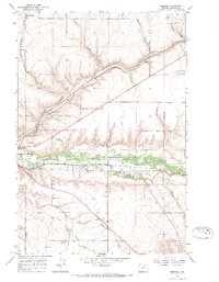
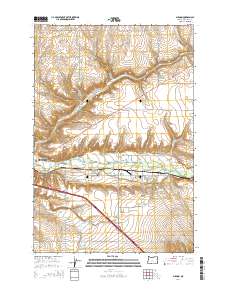
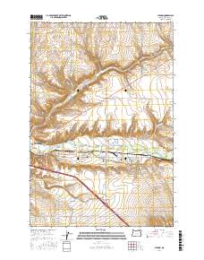
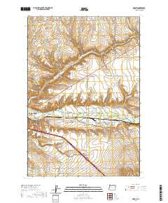
 2023 Barnhart2023 Print · USGSThe Umatilla River valley and the settlement of Rieth are captured in this recent survey. Researchers can trace land use near Rieth Ridge and follow rural routes like Yoakum Rd and Stage Gulch Rd.
 - 2024 Map of Mission, 2024 Print
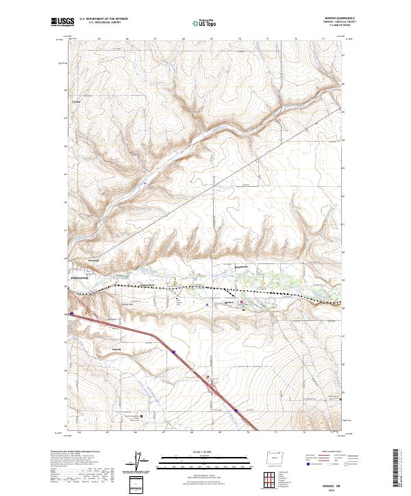 2024 Mission2024 Print · USGSThe Umatilla River valley east of Pendleton is shown here in its modern context, centered on the community of Mission. Genealogists can trace family heritage at the Old Agency Cem, Saint Andrews Mission Cem, and the Tutuilla Presbyterian Indian Mission Cem.
 - 2024 Map of Pendleton, 2024 Print
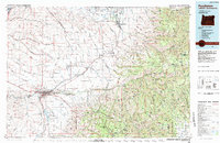
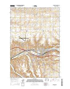
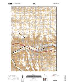
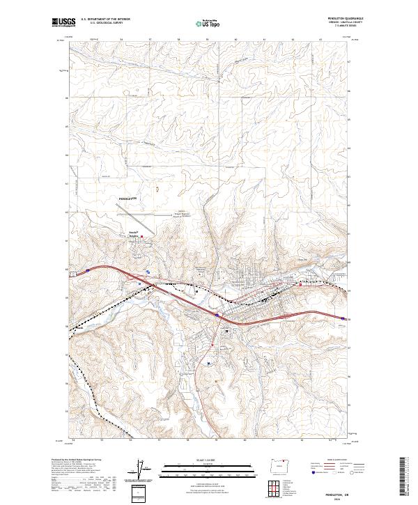 2024 Pendleton2024 Print · USGSPendleton and the surrounding Umatilla River valley are captured in this recent survey, showing the modern intersection of aviation, rail, and county government. Researchers can locate the Olney Cem, the Umatilla County Courthouse, and the settlement of Rieth.
End of results
Showing maps 1-20 of 20
Top cities near Pendleton
Top neighborhoods of Pendleton
Frequently asked questions
- What are the different types of historical maps available for Pendleton?
- What is the oldest map of Pendleton?
- Where can I purchase historical maps of Pendleton for my home or office?
- Where can I download high-res historical maps of Pendleton?
- Are there historical topographic maps available for Pendleton?
- Is there historical aerial imagery available for Pendleton?
- Where are historical maps of Pendleton sourced from?