1970s Maps of Wheeler County, Oregon
Explore 6 historic maps of Wheeler County from the 1970s. These maps offer a rare glimpse into what life looked like during the 1970s — showing old roads, neighborhoods, homes, and landmarks that have changed or disappeared over time.
Whether you're researching your family's past, planning a metal detecting trip, or studying how Wheeler County's landscape evolved across the 1970s, these high-resolution maps are a powerful tool for exploring the history of this region.
- Focus on a specific era: All maps on this page are from the 1970s, giving you a focused view of this time period.
- See what’s changed: Compare century-old streets, trails, and buildings to today's modern landscape using overlays and satellite layers.
- Research with precision: Use these maps for genealogy, historical research, land use analysis, or educational projects.
- View, download, or print: Maps are fully viewable online in high resolution, and can be downloaded or printed for your own records.
Start exploring Wheeler County's history through authentic maps from the 1970s. This is your window into the past.
Wheeler County, OR maps
(6)- 1970 Map of Chimney Springs, 1973 Print
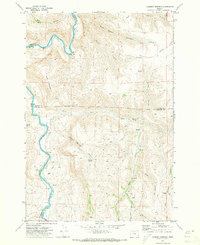 1970 Chimney Springs1973 Print · USGSThe high plateaus and canyons of the John Day country are captured here during the early seventies, when ranching life centered on remote outposts and spring-fed canyons. Researchers can trace land use at Buckhorn Ranch, locate the passage at Bills Pass, or find water sources like Duncan Spring.
 - 1970 Map of Salmon Fork, 1973 Print
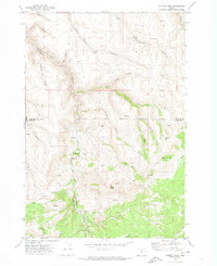 1970 Salmon Fork1973 Print · USGSThe Gilliam and Wheeler County borderlands are mapped here in the early 1970s, showcasing a landscape of timber and ranching history. Researchers can locate the Trail Fork School, identify family-named sites like Edwards, and trace the route of the Kinzua and Southern.
 - 1970 Map of Buckhorn Canyon, 1973 Print
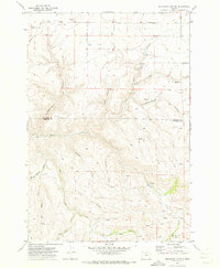 1970 Buckhorn Canyon1973 Print · USGSThe Gilliam and Wheeler County borderlands are captured here during the early 1970s, showcasing a landscape of isolated ranching outposts and deep canyons. Trace local heritage at the Cemetery or locate historic Pictographs and the northern Grain Elevator.
 - 1970 Map of Fossil North, 1973 Print
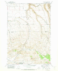 1970 Fossil North1973 Print · USGSNorth of the Wheeler County seat in the early 1970s, the plateau gives way to the deep drainages of the John Day country. Researchers can locate the Mayville Cem, trace the winding Condon Kinzua & Southern railroad, and find local landmarks like Black Butte.
 - 1972 Map of Wolf Mountain, 1976 Print
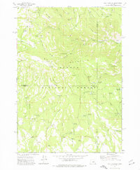 1972 Wolf Mountain1976 Print · USGSThe high country of central Oregon is mapped here in the early seventies, centered on the lookout atop Wolf Mountain. Trace historic backcountry access via the Black Canyon Trail and remote camps like Mud Springs Campground.2 unique versions available
 - 1972 Map of Day Basin, 1976 Print
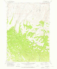 1972 Day Basin1976 Print · USGSWheeler and Grant counties meet in this high-desert forest landscape during the early seventies, spanning the transition from ranching country to protected fossil beds. Researchers can find old backcountry landmarks like Nelson Place, China Camp, and the evocative Home Sweet Home Spring.2 unique versions available
End of results
Showing maps 1-6 of 6
Top cities of Wheeler County
Frequently asked questions
- What are the different types of historical maps available for Wheeler County?
- What is the oldest map of Wheeler County?
- Where can I purchase historical maps of Wheeler County for my home or office?
- Where can I download high-res historical maps of Wheeler County?
- Are there historical topographic maps available for Wheeler County?
- Is there historical aerial imagery available for Wheeler County?
- Where are historical maps of Wheeler County sourced from?