2020s Maps of Wheeler County, Oregon
Explore 89 historic maps of Wheeler County from the 2020s. These maps offer a rare glimpse into what life looked like during the 2020s — showing old roads, neighborhoods, homes, and landmarks that have changed or disappeared over time.
Whether you're researching your family's past, planning a metal detecting trip, or studying how Wheeler County's landscape evolved across the 2020s, these high-resolution maps are a powerful tool for exploring the history of this region.
- Focus on a specific era: All maps on this page are from the 2020s, giving you a focused view of this time period.
- See what’s changed: Compare century-old streets, trails, and buildings to today's modern landscape using overlays and satellite layers.
- Research with precision: Use these maps for genealogy, historical research, land use analysis, or educational projects.
- View, download, or print: Maps are fully viewable online in high resolution, and can be downloaded or printed for your own records.
Start exploring Wheeler County's history through authentic maps from the 2020s. This is your window into the past.
Wheeler County, OR maps
(89)- 2020 Map of Johnson Heights, 2020 Print
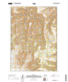 2020 Johnson Heights2020 Print · USGSWheeler County's high-plateau country is captured here in the early twenty-first century, showing a landscape defined by deep creek drainages and remote ranching grounds. Genealogists and hikers can trace the paths of Parrish Creek Rd and locate family-named landmarks like Johnson Heights and Waterman Flat.
 - 2020 Map of Derr Meadows, 2020 Print
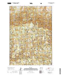 2020 Derr Meadows2020 Print · USGSThe Oregon high country along the Crook and Wheeler county border is captured here in the contemporary era. Researchers can locate the site of the Camp Watson Cem and trace seasonal water sources like Barnhouse Spring and Collins Reservoir.
 - 2020 Map of Antone, 2020 Print
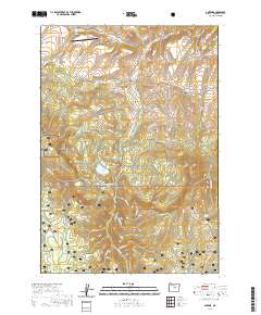 2020 Antone2020 Print · USGSWheeler County's high country is captured here in the early twenty-first century, showing a landscape shaped by ranching and forest management. Researchers can locate remote family landmarks such as the Mary Waterman Grave, Antone Ranch Airport, and the Spanish Gulch Cemetery.
 - 2020 Map of Clarno, 2020 Print
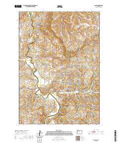 2020 Clarno2020 Print · USGSThe John Day River valley in Wasco and Wheeler Counties is shown here as it appeared in 2020. Local history and geology enthusiasts can trace the boundaries of the John Day Fossil Beds National Monument and locate the Clarno Cem or the Hancock Pictograph.
 - 2020 Map of Mount Misery, 2020 Print
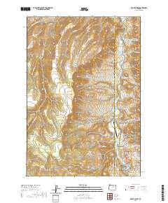 2020 Mount Misery2020 Print · USGSWheeler County's high desert is captured here in the modern era, dominated by the winding John Day River and protected lands. Researchers can locate remote infrastructure like the Longview Ranch Airport and distinct landmarks such as Cathedral Rock and Mt Misery.
 - 2020 Map of Painted Hills, 2020 Print
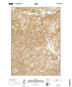 2020 Painted Hills2020 Print · USGSWheeler County's famous geological formations are documented here in the early twenty-first century. Researchers and geologists can trace the boundaries of the John Day Fossil Beds National Monument and locate landmarks like Red Scar Knoll and Stovepipe Spring.
 - 2020 Map of Mount Pisgah, 2020 Print
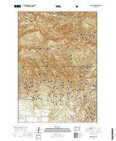 2020 Mount Pisgah2020 Print · USGSThe high Ochoco Mountains meet the expansive Big Summit Prairie in this recent survey of the Wheeler and Crook county line. Researchers can trace seasonal trails like Snomobile #2 (Snow) and find remote water sources like Yellowjacket Reservoir and Pisgah Spring.
 - 2020 Map of Frog Hollow, 2020 Print
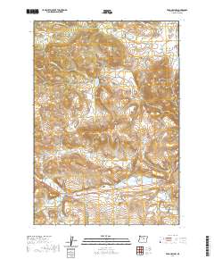 2020 Frog Hollow2020 Print · USGSWheeler County's high meadows and remote drainages are captured here in the early twenty-first century. Researchers can locate family landmarks like the Caleb Cem or trace the early industrial sites of Spoos Mill and the eponymous Frog Hollow.
 - 2020 Map of Six Corners, 2020 Print
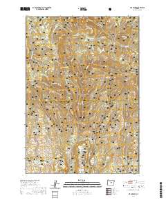 2020 Six Corners2020 Print · USGSThe high Ochoco country of central Oregon is documented here in the modern era, showing a landscape shaped by forest management and ranching. Genealogists and historians can trace family-named landmarks and essential water sources like Potter Meadows, Six Corners, and Hornet Reservoir.
 - 2020 Map of Wolf Mountain, 2020 Print
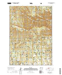 2020 Wolf Mountain2020 Print · USGSCentral Oregon high country and forest lands are detailed here at the turn of the decade. Researchers can trace the water and grazing features of the Ochoco National Forest, including Kelsey Reservoir, Three Forks, and Battle Ridge.
 - 2020 Map of Keyes Mountain, 2020 Print
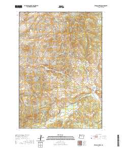 2020 Keyes Mountain2020 Print · USGSWheeler County high country in the modern era reveals a landscape of isolated peaks and essential water sources. Genealogists and local historians can trace the geography around Keyes Mtn, Mitchell Mtn, and named water sites like Maxwell Spring.
 - 2020 Map of Peterson Point, 2020 Print
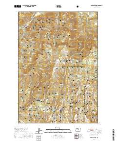 2020 Peterson Point2020 Print · USGSThe high Ochoco Mountains of Central Oregon are surveyed here in the modern era, showing a landscape defined by volcanic activity and forestry. Trace family-named landmarks and water sources like Dick Nicholas Spring, Peterson Point, and the flows of the Broadway Lava.
 - 2020 Map of Whistler Point, 2020 Print
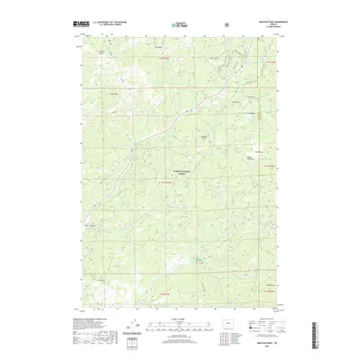 2020 Whistler Point2020 Print · USGSThe high peaks and meadows of Central Oregon are mapped here in the early twenty-first century, showing the remote high-country of the Ochoco Mountains. Historians and outdoorsmen can trace old routes through Grant Meadows and past landmarks like Whistler Point and Hamilton Butte.
 - 2020 Map of Tubb Spring, 2020 Print
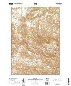 2020 Tubb Spring2020 Print · USGSWheeler County high country comes into focus in this recent survey of the Oregon interior. Trace the remote network of natural water sources and landforms, from the depths of Spanish Gulch to the heights of Juniper Butte and Table Mtn.
 - 2020 Map of Spray, 2020 Print
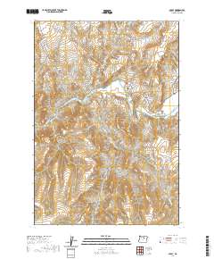 2020 Spray2020 Print · USGSWheeler County's river-cut landscape is documented here in the modern era, centered on the settlement of Spray. Genealogists and local historians can trace family-named landmarks like Spray Cem, Sourdough Ridge, and Haystack Valley along the John Day River.
 - 2020 Map of Sutton Mountain, 2020 Print
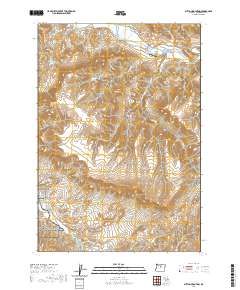 2020 Sutton Mountain2020 Print · USGSThe John Day River country in Wheeler County is revealed here during the recent era of conservation and ranching. Genealogists and local historians can trace family-named sites like Collins Landing Strip, Chapman Spring, and the historic settlement of Twickenham.
 - 2020 Map of Richmond, 2020 Print
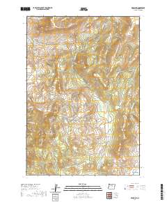 2020 Richmond2020 Print · USGSWheeler County's high country is documented here in the early twenty-first century, centered on the settlement of Richmond. Researchers and genealogists can locate family-named landmarks and historical grazing areas like Sheet Iron Jack Meadow, Floating Prairie, and Bone Yard Canyon.
 - 2020 Map of Salmon Fork, 2020 Print
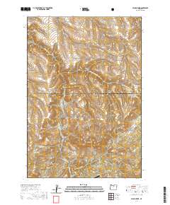 2020 Salmon Fork2020 Print · USGSThe high plateau of Wheeler County at the turn of the twenty-first century is captured here in detail. Researchers can trace remote landmarks like the Kinzua Airport and the transition into the Umatilla National Forest near Steamboat Rock.
 - 2020 Map of Little Summit Prairie, 2020 Print
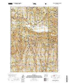 2020 Little Summit Prairie2020 Print · USGSCrook County’s high forest lands are captured here in the modern era, showing the transition from timbered buttes to open prairie. Researchers can trace historic water sources and landmarks like Little Summit Prairie, Paulina Butte, and the Ochoco National Forest boundary.
 - 2020 Map of Wheeler Point, 2020 Print
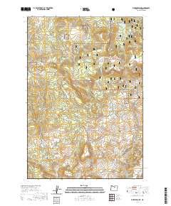 2020 Wheeler Point2020 Print · USGSWheeler County's high forest and meadow country is documented here in the early twenty-first century. Genealogists and historians can trace the geography of earlier residents through landmarks like the Winlock Cem, Widow Meadow, and Wheeler Point.
 - 2020 Map of Picture Gorge West, 2020 Print
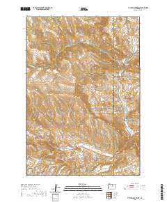 2020 Picture Gorge West2020 Print · USGSThe John Day River corridor in Wheeler County is captured here in modern detail, showing the interface of public lands and river topography. Local historians and hikers can trace the River Trail past Sheep Rock or locate the site of Johnny Kirk Spring.
 - 2020 Map of Collins Butte, 2020 Print
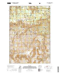 2020 Collins Butte2020 Print · USGSWheeler County and Morrow County meet in these timberlands during the early twenty-first century. Researchers can trace forest management and water rights through landmarks like Long Prairie Reservoir, Collins Butte, and High Spring Ridge.
 - 2020 Map of Whitetail Butte, 2020 Print
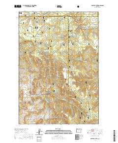 2020 Whitetail Butte2020 Print · USGSThe high timberlands and volcanic buttes of Wheeler County are documented here in the modern era. Genealogists and local historians can trace the remote Haystack Cem and primitive routes through Umatilla National Forest and Wilson Prairie.
 - 2020 Map of Kimberly, 2020 Print
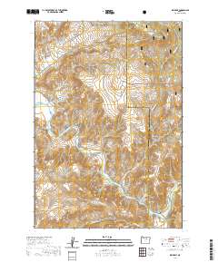 2020 Kimberly2020 Print · USGSThe confluence of the North Fork John Day River and the main stem at Kimberly defines this high-desert landscape in the early twenty-first century. Researchers can trace the rugged drainage patterns of West Bologna Canyon and locate landmarks like China Hat Peak.
 - 2020 Map of Masiker Mountain, 2020 Print
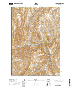 2020 Masiker Mountain2020 Print · USGSCentral Oregon's high desert terrain is captured here in recent years, centered on the winding John Day River. Researchers can trace old land use through family-named landmarks and water sources like Butler Mtn, Donnelly Basin, and Rimrock Spring.
Showing maps 1-25 of 89
Top cities of Wheeler County
Frequently asked questions
- What are the different types of historical maps available for Wheeler County?
- What is the oldest map of Wheeler County?
- Where can I purchase historical maps of Wheeler County for my home or office?
- Where can I download high-res historical maps of Wheeler County?
- Are there historical topographic maps available for Wheeler County?
- Is there historical aerial imagery available for Wheeler County?
- Where are historical maps of Wheeler County sourced from?