2000s (21st Century) Maps of McMinnville, Oregon
Explore 9 historic maps of McMinnville from the 2000s (21st Century). These maps offer a rare glimpse into what life looked like during the 2000s — showing old roads, neighborhoods, homes, and landmarks that have changed or disappeared over time.
Whether you're researching your family's past, planning a metal detecting trip, or studying how McMinnville's landscape evolved across the 2000s, these high-resolution maps are a powerful tool for exploring the history of this region.
- Focus on a specific era: All maps on this page are from the 2000s, giving you a focused view of this time period.
- See what’s changed: Compare century-old streets, trails, and buildings to today's modern landscape using overlays and satellite layers.
- Research with precision: Use these maps for genealogy, historical research, land use analysis, or educational projects.
- View, download, or print: Maps are fully viewable online in high resolution, and can be downloaded or printed for your own records.
Start exploring McMinnville's history through authentic maps from the 2000s. This is your window into the past.
McMinnville, OR maps
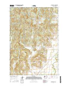
(9)- 2011 Map of Muddy Valley, 2011 Print
 2011 Muddy Valley2011 Print · USGSCovers McMinnville, including Yamhill County, United States, and other nearby areas
 - 2011 Map of McMinnville, 2011 Print
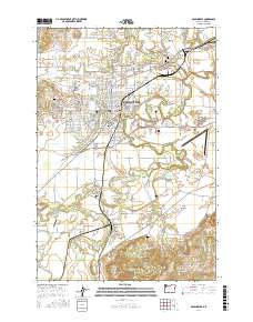
 2011 McMinnville2011 Print · USGSCovers McMinnville, including Whiteson, Saint Joseph, and other nearby areas
 - 2014 Map of McMinnville, 2014 Print
 2014 McMinnville2014 Print · USGSCovers McMinnville, including Whiteson, Saint Joseph, and other nearby areas
 - 2014 Map of Muddy Valley, 2014 Print
 2014 Muddy Valley2014 Print · USGSCovers McMinnville, including Yamhill County, United States, and other nearby areas
 - 2017 Map of McMinnville, 2017 Print
 2017 McMinnville2017 Print · USGSCovers McMinnville, including Whiteson, Saint Joseph, and other nearby areas
 - 2017 Map of Muddy Valley, 2017 Print
 2017 Muddy Valley2017 Print · USGSCovers McMinnville, including Yamhill County, United States, and other nearby areas
 - 2020 Map of Muddy Valley, 2020 Print
 2020 Muddy Valley2020 Print · USGSCovers McMinnville, including Yamhill County, United States, and other nearby areas
 - 2023 Map of McMinnville, 2023 Print
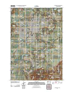
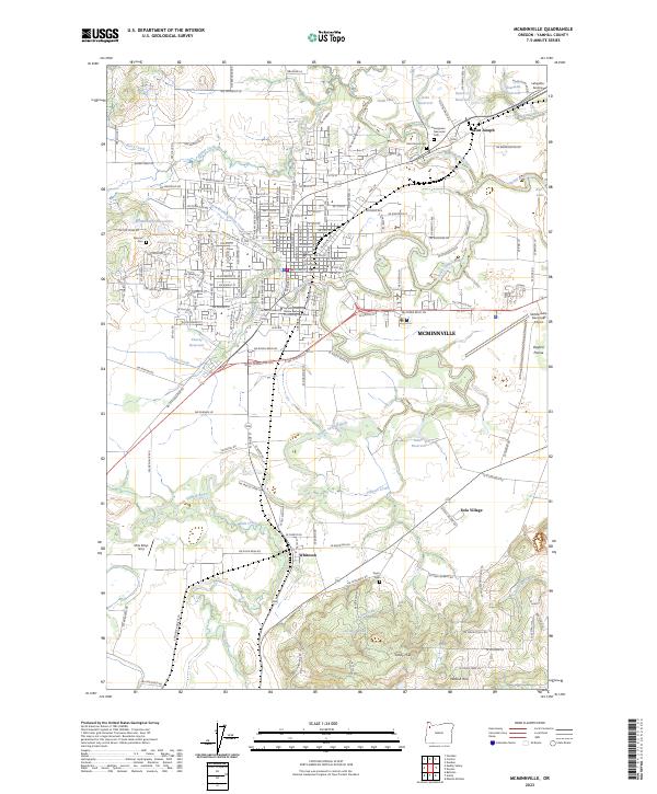 2023 McMinnville2023 Print · USGSYamhill County's wine country and agricultural heartland are centered here in the early 2020s. Researchers can locate long-standing landmarks like the Yamhill County Courthouse, Linfield University, and several family burial sites including Masonic Cemetery.
 - 2023 Map of Muddy Valley, 2023 Print
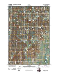
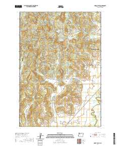
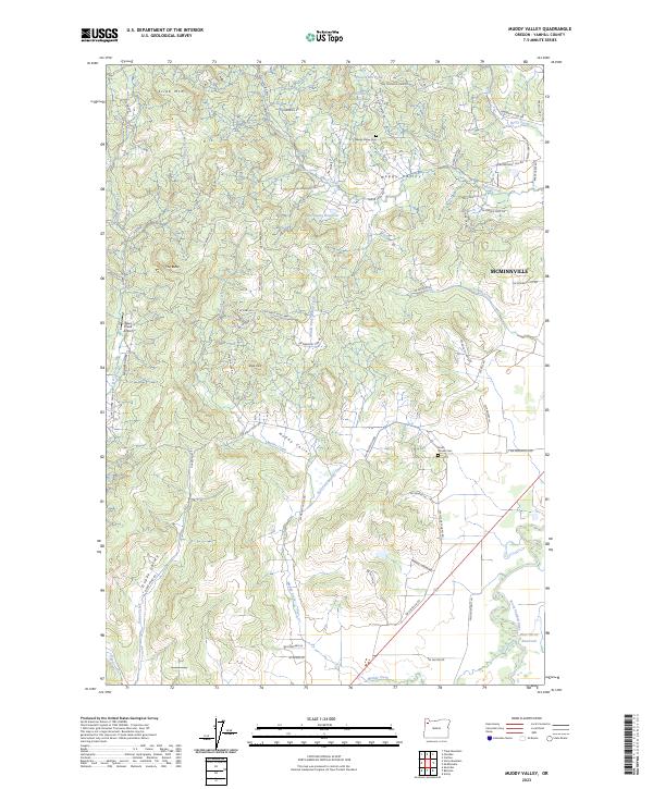 2023 Muddy Valley2023 Print · USGSYamhill County's agricultural and upland terrain comes into focus in this contemporary survey of the foothills west of Mcminnville. Researchers can trace the lineage of local landmarks like Happy Valley Cem, Deer Creek Airport, and the high ridges of Slide Mtn.
End of results
Showing maps 1-9 of 9
Top cities near McMinnville
- Salem historical maps
- Keizer historical maps
- Newberg historical maps
- Sheridan historical maps
- Lafayette historical maps
- Dundee historical maps
See more
Frequently asked questions
- What are the different types of historical maps available for McMinnville?
- What is the oldest map of McMinnville?
- Where can I purchase historical maps of McMinnville for my home or office?
- Where can I download high-res historical maps of McMinnville?
- Are there historical topographic maps available for McMinnville?
- Is there historical aerial imagery available for McMinnville?
- Where are historical maps of McMinnville sourced from?