Old Maps of Clairton, Pennsylvania for Metal Detecting
Plan your next treasure hunt with 24 historic maps of Clairton. Find old homesites, ghost towns, trails, and gathering spots that may be lost to time — perfect for identifying promising metal detecting locations.
- Locate forgotten sites: Uncover places like long-lost settlements, abandoned rail lines, or gathering spots.
- Plan better hunts: Use map overlays combined with LiDAR or satellite views to narrow in on historically rich areas.
- Made for detectorists: Thousands of hobbyists use these maps to discover relics, coins, and hidden history.
Use these historic maps to boost your research and find new opportunities beneath the surface of Clairton.
Clairton, PA maps
(24)- 1904 Map of Mc Keesport
 1904 Mc Keesport1904 Print · USGSAllegheny County at the height of its industrial era reveals a landscape of massive rail yards and riverfront steel towns. Genealogists can trace family roots through dense neighborhoods in Homestead, Wilkinsburg, and Braddock or locate ancestral plots in Homewood Cem.2 unique versions available
 - 1907 Map of Pittsburg
 1907 Pittsburg1907 Print · USGSSteel-industry heartlands and river-valley rail corridors define the Pittsburgh region in the early nineteen-hundreds. Trace the complex rail networks of the Union RR and Pennsylvania RR through industrial hubs like Homestead and Wilmerding.10 unique versions available
 - 1953 Map of Pittsburgh
 1953 Pittsburgh1953 Print · USGSWestern Pennsylvania's industrial landscape at the start of the fifties shows the steel and rail corridors between Pittsburgh and Altoona. Trace family roots in river towns like Tarentum or follow the Pennsylvania Turnpike across Laurel Hill.
 - 1953 Map of Mc Keesport, 1955 Print
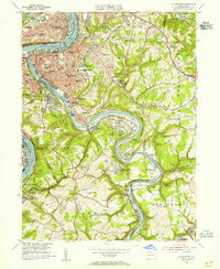 1953 Mc Keesport1955 Print · USGSThe industrial Mon Valley thrives at mid-century as steel and coal drive the local economy along the river forks. Researchers can trace family history through dozens of named schools and churches, or find landmarks like Rainbow Gardens Swimming Pool and the Hubbard Mine Shaft No 2.
 - 1953 Map of Glassport, 1955 Print
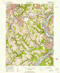 1953 Glassport1955 Print · USGSThe industrial Monongahela Valley and its burgeoning suburbs are detailed here during the mid-fifties. Trace the rail-and-river network through Glassport or find family landmarks like Cochrans Mill, St Peters Ch, and Memorial Cemetery.
 - 1954 Map of Pittsburgh
 1954 Pittsburgh1954 Print · USGSWestern Pennsylvania in the early fifties remains a powerhouse of heavy industry and vital transit corridors. Genealogists and historians can trace the rail-and-river network connecting Pittsburgh, Johnstown, and Altoona via the Pennsylvania RR and the Lincoln Highway.2 unique versions available
 - 1958 Map of Pittsburgh
 1958 Pittsburgh1958 Print · USGSWestern Pennsylvania in the late fifties shows an industrial heartland defined by the confluence of the Allegheny River and Monongahela River. Researchers can trace the sprawling rail networks of the Pennsylvania RR and find established towns like Butler, Latrobe, and Windber.5 unique versions available
 - 1959 Map of Pittsburgh
 1959 Pittsburgh1959 Print · USGSWestern Pennsylvania in the late fifties is captured here at the height of its industrial era. Genealogists and historians can trace the riverfront growth of Pittsburgh, the rail works at Altoona, and the mountain gaps of Laurel Hill.
 - 1960 Map of Mc Keesport, 1961 Print
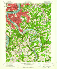 1960 Mc Keesport1961 Print · USGSThe industrial heart of the Monongahela and Youghiogheny valleys is shown here at its mid-century peak. Local historians can trace the intricate rail lines of the Union RR and locate ancestral sites like the North Buena Vista Historic Site or St Josephs Convent.4 unique versions available
 - 1960 Map of Glassport, 1961 Print
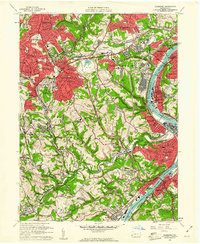 1960 Glassport1961 Print · USGSThe industrial Monongahela Valley comes alive in this 1960s survey, showing the peak of the rail-and-river economy from Mc Keesport to Elizabeth. Genealogists and historians can trace family sites at Cochrans Mill, Snowden, and the Jefferson Mem Cem.4 unique versions available
 - 1964 Map of Pittsburgh
 1964 Pittsburgh1964 Print · USGSWestern Pennsylvania in the late fifties and early sixties shows a landscape of powerful river industries and expanding highways. Genealogists and historians can trace the rail corridors of the Pennsylvania RR through industrial hubs like Johnstown, Altoona, and Nanty Glo.
 - 1986 Map of Pittsburgh East
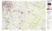 1986 Pittsburgh East1986 Print · USGSWestern Pennsylvania in the mid-eighties shows a landscape defined by industrial rivers and rising mountain ridges. Trace the dense rail networks of CONRAIL and the Pittsburgh and Lake Erie RR connecting historic centers like Monessen, Jeannette, and Connellsville.3 unique versions available
 - 1988 Map of Glassport, 1998 Print
 1988 Glassport1998 Print · USGSThe Monongahela River valley south of Pittsburgh was a dense network of steel-town industry and suburban growth in the late twentieth century. Genealogists and researchers can trace local landmarks like Dam No 3, Mifflin Junction, and Sacred Heart Cem.
 - 1993 Map of Mc Keesport, 1998 Print
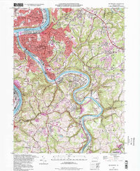 1993 Mc Keesport1998 Print · USGSIn the late twentieth century, the industrial river valleys of Allegheny County show a complex blend of dense urban centers and sprawling memorial parks. Researchers can trace family ties through numerous local landmarks like St Nicholas Cem, Mt Vernon Cemetery, and the North Buena Vista Historical Site.
 - 2010 Map of Glassport, 2010 Print
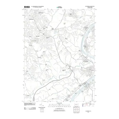 2010 Glassport2010 Print · USGSAllegheny County south of Pittsburgh is seen here in the early twenty-first century as the Mon Valley's industrial legacy meets modern residential growth. Researchers can locate family landmarks at Jefferson Memorial Park, trace the river at Dam Number Three, or explore nodes like Mifflin Junction.
 - 2010 Map of McKeesport, 2010 Print
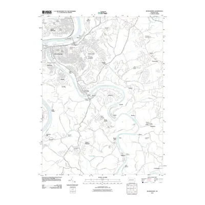 2010 McKeesport2010 Print · USGSThe riverfront communities of the Monongahela and Youghiogheny valleys are captured here in a period of modern suburban growth. Genealogists and local historians can trace family plots at McKeesport and Versailles Cemetery or locate old community hubs like Fite Station and the Boston Post Office.
 - 2013 Map of Glassport, 2013 Print
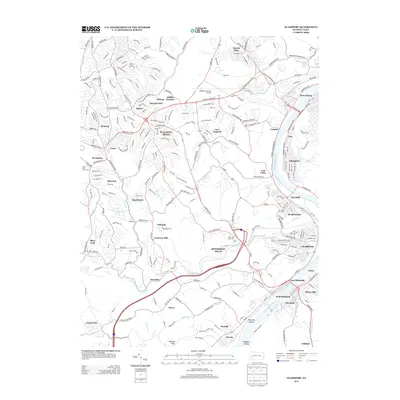 2013 Glassport2013 Print · USGSThe Monongahela River valley south of Pittsburgh is seen here in the early 2010s, showing a landscape defined by industrial river towns and suburban expansion. Genealogists and historians can trace neighborhood developments in Jefferson Hills or locate specific riverfront sites in Elizabeth and Glassport.
 - 2013 Map of McKeesport, 2013 Print
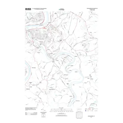 2013 McKeesport2013 Print · USGSThe river valleys southeast of Pittsburgh are shown here during the early 21st century, centered on the confluence of the Monongahela and Youghiogheny rivers. Local historians can trace the development of riverside communities like Greenock and Buena Vista or locate landmarks such as Inter-County Airport and Camp Youghahela.
 - 2016 Map of McKeesport, 2016 Print
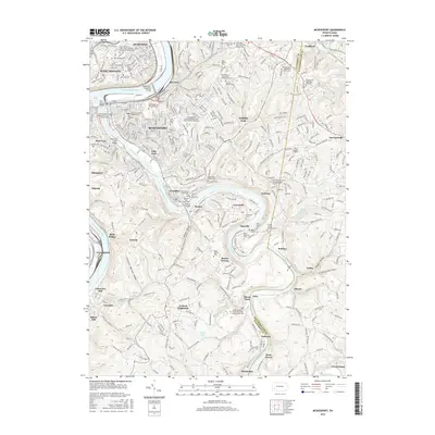 2016 McKeesport2016 Print · USGSThe industrial Mon Valley and its surrounding hillsides are shown here in the mid-2010s, centering on the confluence of two major rivers. Genealogists can trace family heritage across dozens of sites like Old Saint Joseph Catholic Cem and Gemilas Chesed Cem in McKeesport.
 - 2016 Map of Glassport, 2016 Print
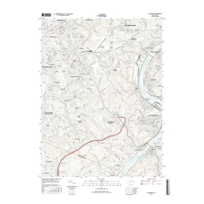 2016 Glassport2016 Print · USGSThe industrial and suburban landscape south of Pittsburgh comes into focus during the mid-2010s, centered on the Monongahela River valley. Researchers can locate historic family plots and landmarks like Cochrans Mill, Saint John Lutheran Cem, and the Allegheny County Airport.
 - 2019 Map of McKeesport, 2019 Print
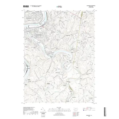 2019 McKeesport2019 Print · USGSThe industrial heart of the Mon Valley is captured here in the late 2010s at the confluence of two major rivers. Genealogists and local historians can locate dozens of historic burial sites, including the McKeesport and Versailles Cem and Old Gemilas Chesed Cem.
 - 2019 Map of Glassport, 2019 Print
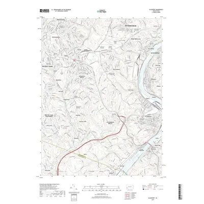 2019 Glassport2019 Print · USGSThe Monongahela River valley south of Pittsburgh was a bustling industrial hub at the turn of the decade. Genealogists and local historians can trace legacy sites like Cochrans Mill, the North Zion Churchyard Cem, and Mifflin Junction.
 - 2023 Map of Glassport, 2023 Print
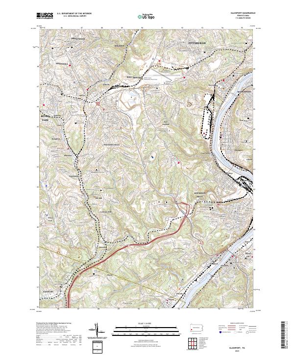 2023 Glassport2023 Print · USGSThe industrial river valleys south of Pittsburgh come into sharp focus in this detailed topographic study. Genealogists and local researchers can locate numerous historical burial sites like Lebanon Church Cem or trace the old rail and trail routes near Cochrans Mill and Coal Valley.
 - 2023 Map of McKeesport, 2023 Print
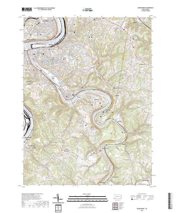 2023 McKeesport2023 Print · USGSThe Monongahela and Youghiogheny river valleys near McKeesport represent a storied industrial corridor at the height of its modern development. Genealogists can trace family names across dozens of sites like the Coulter Cem, Dravo Cem, and the Sisters of the Divine Redeemer Cem.
End of results
Showing maps 1-24 of 24
Top cities near Clairton
- Pittsburgh historical maps
- Penn Hills historical maps
- Bethel Park historical maps
- Ross Township historical maps
- Mount Lebanon historical maps
- Monroeville historical maps
See more
Top neighborhoods of Clairton
Frequently asked questions
- What are the different types of historical maps available for Clairton?
- What is the oldest map of Clairton?
- Where can I purchase historical maps of Clairton for my home or office?
- Where can I download high-res historical maps of Clairton?
- Are there historical topographic maps available for Clairton?
- Is there historical aerial imagery available for Clairton?
- Where are historical maps of Clairton sourced from?