2000s (21st Century) Maps of Bedford County, Pennsylvania
Explore 48 historic maps of Bedford County from the 2000s (21st Century). These maps offer a rare glimpse into what life looked like during the 2000s — showing old roads, neighborhoods, homes, and landmarks that have changed or disappeared over time.
Whether you're researching your family's past, planning a metal detecting trip, or studying how Bedford County's landscape evolved across the 2000s, these high-resolution maps are a powerful tool for exploring the history of this region.
- Focus on a specific era: All maps on this page are from the 2000s, giving you a focused view of this time period.
- See what’s changed: Compare century-old streets, trails, and buildings to today's modern landscape using overlays and satellite layers.
- Research with precision: Use these maps for genealogy, historical research, land use analysis, or educational projects.
- View, download, or print: Maps are fully viewable online in high resolution, and can be downloaded or printed for your own records.
Start exploring Bedford County's history through authentic maps from the 2000s. This is your window into the past.
Bedford County, PA maps
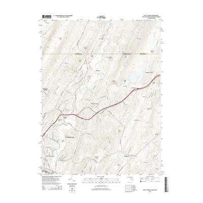
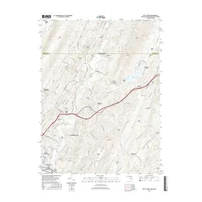
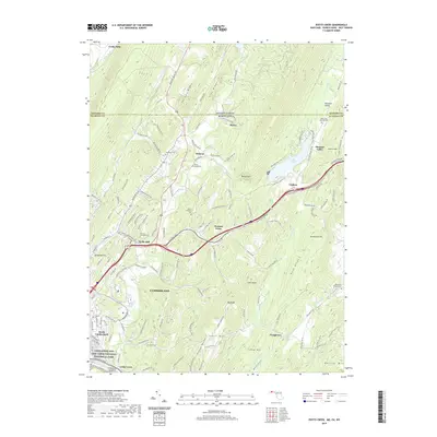
(48)- 2011 Map of Evitts Creek, 2011 Print
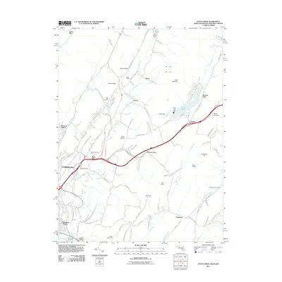 2011 Evitts Creek2011 Print · USGSCovers Bedford County, including Cumberland, Bowmans Addition, and other nearby areas
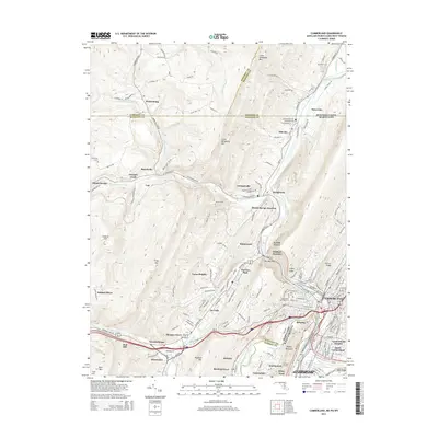
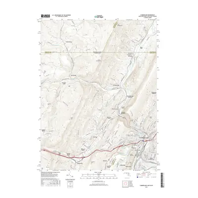
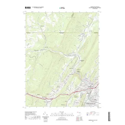
 - 2011 Map of Cumberland, 2011 Print
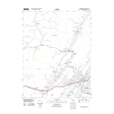 2011 Cumberland2011 Print · USGSCovers Bedford County, including Cumberland, La Vale, and other nearby areas
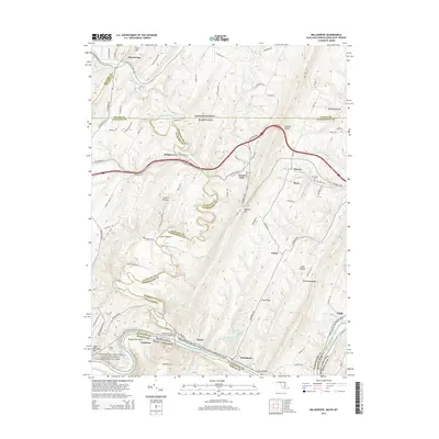
 - 2011 Map of Bellegrove, 2011 Print
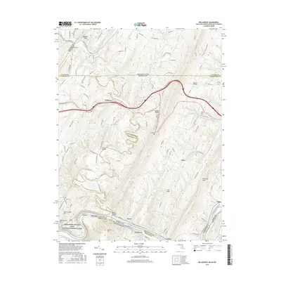
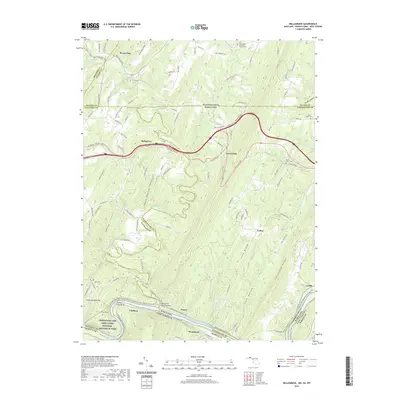
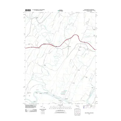 2011 Bellegrove2011 Print · USGSCovers Bedford County, including Mann, Exline, and other nearby areas
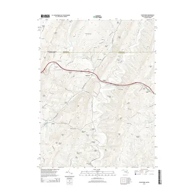
 - 2011 Map of Flintstone, 2011 Print
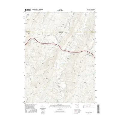
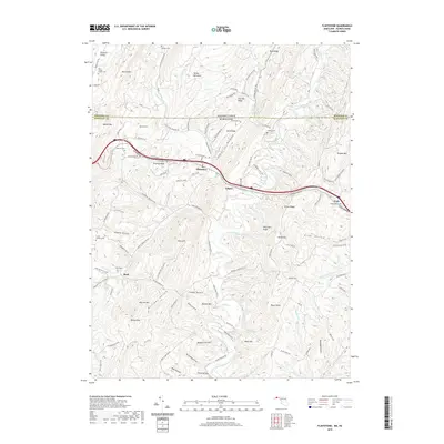
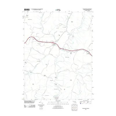 2011 Flintstone2011 Print · USGSCovers Bedford County, including Flintstone, Pratt, and other nearby areas
 - 2014 Map of Cumberland, 2014 Print
 2014 Cumberland2014 Print · USGSCovers Bedford County, including Cumberland, La Vale, and other nearby areas
 - 2014 Map of Evitts Creek, 2014 Print
 2014 Evitts Creek2014 Print · USGSCovers Bedford County, including Cumberland, Bowmans Addition, and other nearby areas
 - 2014 Map of Bellegrove, 2014 Print
 2014 Bellegrove2014 Print · USGSCovers Bedford County, including Mann, Exline, and other nearby areas
 - 2014 Map of Flintstone, 2014 Print
 2014 Flintstone2014 Print · USGSCovers Bedford County, including Flintstone, Pratt, and other nearby areas
 - 2016 Map of Bellegrove, 2016 Print
 2016 Bellegrove2016 Print · USGSCovers Bedford County, including Mann, Exline, and other nearby areas
 - 2016 Map of Flintstone, 2016 Print
 2016 Flintstone2016 Print · USGSCovers Bedford County, including Flintstone, Pratt, and other nearby areas
 - 2016 Map of Evitts Creek, 2016 Print
 2016 Evitts Creek2016 Print · USGSCovers Bedford County, including Cumberland, Bowmans Addition, and other nearby areas
 - 2016 Map of Cumberland, 2016 Print
 2016 Cumberland2016 Print · USGSCovers Bedford County, including Cumberland, La Vale, and other nearby areas
 - 2019 Map of Cumberland, 2019 Print
 2019 Cumberland2019 Print · USGSCovers Bedford County, including Cumberland, La Vale, and other nearby areas
 - 2019 Map of Evitts Creek, 2019 Print
 2019 Evitts Creek2019 Print · USGSCovers Bedford County, including Cumberland, Bowmans Addition, and other nearby areas
 - 2019 Map of Flintstone, 2019 Print
 2019 Flintstone2019 Print · USGSCovers Bedford County, including Flintstone, Pratt, and other nearby areas
 - 2019 Map of Bellegrove, 2019 Print
 2019 Bellegrove2019 Print · USGSCovers Bedford County, including Mann, Exline, and other nearby areas
 - 2023 Map of Chaneysville, 2023 Print
 2023 Chaneysville2023 Print · USGSBedford County's southern ridges and valleys are mapped here in the modern era, showing the enduring rural layout near the Maryland line. Researchers can locate numerous family burial sites and old country parishes, including Mount Zion Christian Cem and Zion Lutheran Church Cem.
 - 2023 Map of Beans Cove, 2023 Print
 2023 Beans Cove2023 Print · USGSThe rural valleys of Bedford County near the Maryland border remain a landscape of small farmsteads and narrow gaps. Genealogists can trace early residents through several burial sites, including Perdew Cem, Prosperity Cem, and the Seven Dolors Catholic Cem.
 - 2023 Map of Clearville, 2023 Print
 2023 Clearville2023 Print · USGSBedford County's ridges and valleys are shown here in modern detail, preserving the locations of generations-old farmsteads and rural crossroads. Researchers can trace family history through sites like the Wilson Weimer Family Cem, Cornell Graveyard, and the settlement at Ott Town.
 - 2023 Map of Fairhope, 2023 Print
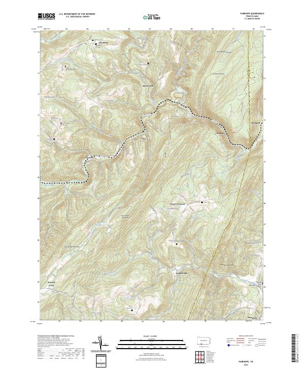 2023 Fairhope2023 Print · USGSThe Allegheny highlands of Somerset County come alive in this map, showing the rural communities and family homesteads of the region. Genealogists can trace deep roots at the Johnsburg Old Cem, Kennells Mill, and the Lepley Family Cem.
 - 2023 Map of Rainsburg, 2023 Print
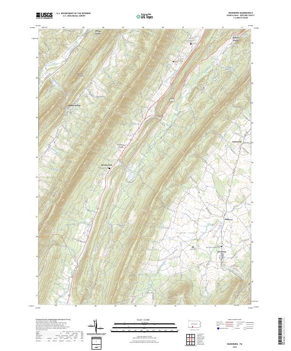 2023 Rainsburg2023 Print · USGSBedford County's ridge-and-valley landscape near Rainsburg is captured here in the early twenty-first century, showing a pattern of settlement and burial grounds. Researchers can trace family history at the Major John Cessna Burial Site, Sweet Root Cem, or the Memorial Lutheran Church.
 - 2023 Map of New Enterprise, 2023 Print
 2023 New Enterprise2023 Print · USGSBedford and Blair counties appear here in the early twenty-first century, showing the enduring agricultural character of Morrisons Cove. Genealogists can trace family footprints across numerous sites like the Rice Family Cem, Salemville, and Loysburg.
 - 2023 Map of Schellsburg, 2023 Print
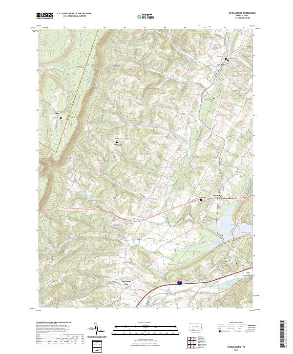 2023 Schellsburg2023 Print · USGSBedford and Somerset counties are shown here as they appeared in the early 2020s, defined by the high ridges of the Allegheny Front. Genealogists can locate family-named sites like the William Frazier Burial Ground and Cuppett Family Cem near Schellsburg.
 - 2023 Map of Ogletown, 2023 Print
 2023 Ogletown2023 Print · USGSHigh on the Allegheny ridges where Bedford and Somerset counties meet, this contemporary survey captures a landscape of deep hollows and rural crossroads. Genealogists and hikers can trace old family sites like Crum Oldham Cem and Mock Church Cem or follow the path of the Lost Turkey Trail.
 - 2023 Map of Alum Bank, 2023 Print
 2023 Alum Bank2023 Print · USGSBedford County's valley corridors are documented here in the early twenty-first century, showing a landscape defined by small villages and generational family landmarks. Genealogists can trace local roots through numerous sites like Horn United Methodist Church Cem, McDonald Farm Cem, and Osterburg.
Showing maps 1-25 of 48
Top cities of Bedford County
- Bedford historical maps
- Napier Township historical maps
- Everett historical maps
- Hyndman historical maps
- Saxton historical maps
- Pavia Township historical maps
See more
Frequently asked questions
- What are the different types of historical maps available for Bedford County?
- What is the oldest map of Bedford County?
- Where can I purchase historical maps of Bedford County for my home or office?
- Where can I download high-res historical maps of Bedford County?
- Are there historical topographic maps available for Bedford County?
- Is there historical aerial imagery available for Bedford County?
- Where are historical maps of Bedford County sourced from?