Old Maps of Tyrone Township, Pennsylvania for Genealogy
Trace your family roots with 47 historic maps of Tyrone Township. These high-res maps reveal old neighborhoods, homesites, landmarks, and streets — helping you uncover where your ancestors lived and how the area evolved over time.
- Explore historic neighborhoods: Identify where your relatives may have lived in the 1800s or 1900s.
- Compare maps over time: Trace the changes in streets, buildings, and landmarks for multi-generational research.
- Perfect for genealogy & ancestry research: Used by family historians and researchers to map out lineage and migration.
These maps are an incredible resource for exploring your personal connection to Tyrone Township's past.
Tyrone Township, PA maps
(47)- 1902 Map of Hollidaysburg, 1957 Print
 1902 Hollidaysburg1957 Print · USGSCentral Pennsylvania at the opening of the twentieth century shows a landscape defined by the iron and rail industries. Genealogists and historians can trace the early footprints of Hollidaysburg, locate the Ore Hill mine, and follow the Pennsylvania R. R. through the steep gaps of the Allegheny Mountain.2 unique versions available
 - 1903 Map of Hollidaysburg
 1903 Hollidaysburg1903 Print · USGSBlair County was a hub of Appalachian industry and transit at the opening of the twentieth century. Genealogists and historians can trace the early rail networks of the Pennsylvania RR and locate vanished mining activity near Orehill and Henrietta.7 unique versions available
 - 1920 Map of Altoona, 1954 Print
 1920 Altoona1954 Print · USGSThe industrial and rail-heavy corridor of the 1920s is on full display as the Pennsylvania RR cuts through the mountains. Genealogists and local historians can trace family roots through numerous country schools like Beech Grove School and lost settlements such as Wopsononock or Fostoria.6 unique versions available
 - 1922 Map of Altoona
 1922 Altoona1922 Print · USGSThe industrial hub of Altoona and the steep slopes of the Allegheny Front are captured here in the early 1920s. Researchers can trace the extensive rail operations of the Pennsylvania railroad and locate numerous vanished rural landmarks like the Richland School and Grandview Cemetery.8 unique versions available
 - 1923 Map of Tyrone
 1923 Tyrone1923 Print · USGSThe industrial and rail corridor of the Juniata Valley is captured here in the early twenties as it winds between massive ridges. Researchers can locate early iron landmarks like Huntingdon Furnace, local schools such as Kinch School, and the rail junction at Tyrone.4 unique versions available
 - 1929 Map of Tyrone
 1929 Tyrone1929 Print · USGSCentral Pennsylvania during the 1920s reveals a landscape defined by industrial rail towns and limestone valleys. Trace the route of the Pennsylvania Railroad past historic sites like Graziers Mill and Union Furnace.6 unique versions available
 - 1933 Map of Tyrone
 1933 Tyrone1933 Print · USGSCentral Pennsylvania's iron and rail heritage is on full display here in the early thirties as the industrial hub of Tyrone connects the valleys. Genealogists can trace family footprints at Pennsylvania Furnace, Grazier Mill, and dozens of rural schoolhouses like Rural Choice Sch.3 unique versions available
 - 1946 Map of Tyrone
 1946 Tyrone1946 Print · USGSThe valleys of Blair and Huntingdon counties are captured here in the 1940s as rail and river corridors defined local life. Researchers can trace the Pennsylvania Canal, find family-named schoolhouses like Eyer Sch, or locate the historic Huntingdon Furnace.
 - 1953 Map of Pittsburgh
 1953 Pittsburgh1953 Print · USGSWestern Pennsylvania's industrial landscape at the start of the fifties shows the steel and rail corridors between Pittsburgh and Altoona. Trace family roots in river towns like Tarentum or follow the Pennsylvania Turnpike across Laurel Hill.
 - 1954 Map of Pittsburgh
 1954 Pittsburgh1954 Print · USGSWestern Pennsylvania in the early fifties remains a powerhouse of heavy industry and vital transit corridors. Genealogists and historians can trace the rail-and-river network connecting Pittsburgh, Johnstown, and Altoona via the Pennsylvania RR and the Lincoln Highway.2 unique versions available
 - 1958 Map of Pittsburgh
 1958 Pittsburgh1958 Print · USGSWestern Pennsylvania in the late fifties shows an industrial heartland defined by the confluence of the Allegheny River and Monongahela River. Researchers can trace the sprawling rail networks of the Pennsylvania RR and find established towns like Butler, Latrobe, and Windber.5 unique versions available
 - 1959 Map of Pittsburgh
 1959 Pittsburgh1959 Print · USGSWestern Pennsylvania in the late fifties is captured here at the height of its industrial era. Genealogists and historians can trace the riverfront growth of Pittsburgh, the rail works at Altoona, and the mountain gaps of Laurel Hill.
 - 1963 Map of Tipton, 1965 Print
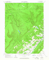 1963 Tipton1965 Print · USGSThe Little Juniata River valley near Tyrone was a bustling transit corridor in the early 1960s. Researchers can trace the Pennsylvania railroad line through Grazierville and Tipton, or locate historic sites like the Fox Cem and a Covered Bridge.3 unique versions available
 - 1963 Map of Spruce Creek, 1965 Print
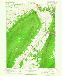 1963 Spruce Creek1965 Print · USGSBlair and Huntingdon counties in the early sixties show a landscape shaped by narrow valleys and the legacy of the iron industry. Genealogists and historians can trace the foundations of Etna Furnace, locate the St John Cem, and follow the old rail lines through Union Furnace.4 unique versions available
 - 1963 Map of Tyrone, 1965 Print
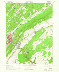 1963 Tyrone1965 Print · USGSIn the early 1960s, the industrial corridor along the Little Juniata River was a hub of transit and production. Trace the rail lines and old roads through Tyrone, Warriors Mark, and Birmingham, or locate family landmarks like Baughman Cem and Grier Sch.4 unique versions available
 - 1963 Map of Frankstown, 1965 Print
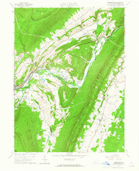 1963 Frankstown1965 Print · USGSBlair County in the early sixties shows a landscape where mountain ridges channel river life and industrial extraction. You can trace the remnants of an old railroad grade or locate ancestral sites like Eight Square Chapel and Royer Cem.4 unique versions available
 - 1963 Map of Bellwood, 1965 Print
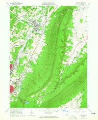 1963 Bellwood1965 Print · USGSBlair County’s industrial and rail heart beats along the Little Juniata River during the early sixties. Genealogists and local historians can trace the foundations of Bellwood and East Altoona, alongside landmarks like Blair Mem Park (Cem) and the Pennsylvania Railroad.4 unique versions available
 - 1964 Map of Pittsburgh
 1964 Pittsburgh1964 Print · USGSWestern Pennsylvania in the late fifties and early sixties shows a landscape of powerful river industries and expanding highways. Genealogists and historians can trace the rail corridors of the Pennsylvania RR through industrial hubs like Johnstown, Altoona, and Nanty Glo.
 - 1981 Map of Johnstown, 1983 Print
 1981 Johnstown1983 Print · USGSSouth Central Pennsylvania is captured here in the early eighties, from the industrial heart of the Conemaugh Valley to the ridges of the Allegheny Front. Local historians can trace the rail corridors of Conrail and the growth of mountain communities like Ebensburg, Nanty Glo, and Windber.
 - 1984 Map of Tyrone, 1985 Print
 1984 Tyrone1985 Print · USGSCentral Pennsylvania in the mid-eighties shows a rugged landscape defined by the industry of Altoona and the ridges of the Appalachians. Genealogists and historians can trace the rail corridors of CONRAIL and locate vanished family homes near Glendale Lake or within Sinking Valley.
 - 1994 Map of Frankstown, 1997 Print
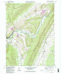 1994 Frankstown1997 Print · USGSThe Juniata River valley in Blair County comes alive in the mid-1990s, showing a landscape of deep-rooted rural settlements and mountain ridges. Researchers can trace family history at Royer Cem, locate the Township Sch, and follow the Penn Central Frankstown Branch railroad.
 - 1994 Map of Tyrone, 1997 Print
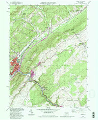 1994 Tyrone1997 Print · USGSThe rail and mountain landscape of Blair and Huntingdon counties comes alive in this mid-nineties survey of a vital Pennsylvania corridor. Researchers can trace family history at Eastlawn Cem or locate old industrial hamlets like Tyrone Forge and Ironville.
 - 2010 Map of Tyrone, 2010 Print
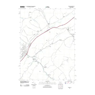 2010 Tyrone2010 Print · USGSCovers Tyrone Township, including Tyrone, Warriors Mark Township, and other nearby areas
 - 2010 Map of Tipton, 2010 Print
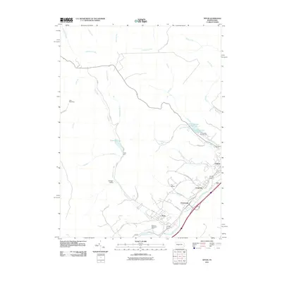 2010 Tipton2010 Print · USGSCovers Tyrone Township, including Tyrone, Rush Township, and other nearby areas
 - 2010 Map of Frankstown, 2010 Print
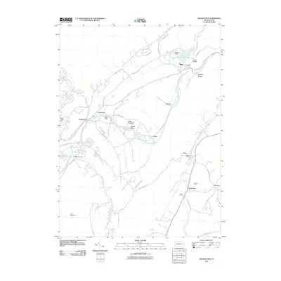 2010 Frankstown2010 Print · USGSCovers Tyrone Township, including Frankstown Township, Hollidaysburg, and other nearby areas
Showing maps 1-25 of 47
Top cities near Tyrone Township
- Altoona historical maps
- Frankstown Township historical maps
- Hollidaysburg historical maps
- Tyrone historical maps
- Bellwood historical maps
- Beccaria Township historical maps
See more
Top neighborhoods of Tyrone Township
- Elberta historical maps
- Elberta historical maps
- Sickles Corner historical maps
- Arch Springs historical maps
- Culp historical maps
- Skelp historical maps
Frequently asked questions
- What are the different types of historical maps available for Tyrone Township?
- What is the oldest map of Tyrone Township?
- Where can I purchase historical maps of Tyrone Township for my home or office?
- Where can I download high-res historical maps of Tyrone Township?
- Are there historical topographic maps available for Tyrone Township?
- Is there historical aerial imagery available for Tyrone Township?
- Where are historical maps of Tyrone Township sourced from?