2000s (21st Century) Maps of Athens Township, Pennsylvania
Explore 25 historic maps of Athens Township from the 2000s (21st Century). These maps offer a rare glimpse into what life looked like during the 2000s — showing old roads, neighborhoods, homes, and landmarks that have changed or disappeared over time.
Whether you're researching your family's past, planning a metal detecting trip, or studying how Athens Township's landscape evolved across the 2000s, these high-resolution maps are a powerful tool for exploring the history of this region.
- Focus on a specific era: All maps on this page are from the 2000s, giving you a focused view of this time period.
- See what’s changed: Compare century-old streets, trails, and buildings to today's modern landscape using overlays and satellite layers.
- Research with precision: Use these maps for genealogy, historical research, land use analysis, or educational projects.
- View, download, or print: Maps are fully viewable online in high resolution, and can be downloaded or printed for your own records.
Start exploring Athens Township's history through authentic maps from the 2000s. This is your window into the past.
Athens Township, PA maps
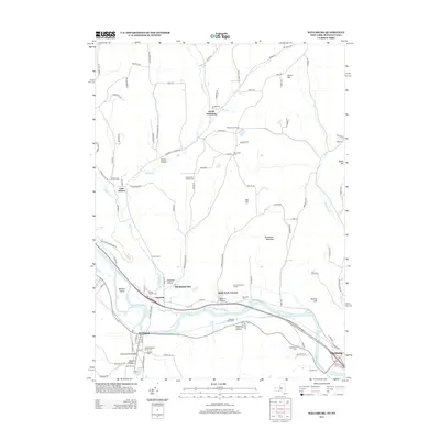
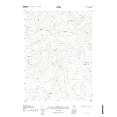
(25)- 2010 Map of Bentley Creek, 2010 Print
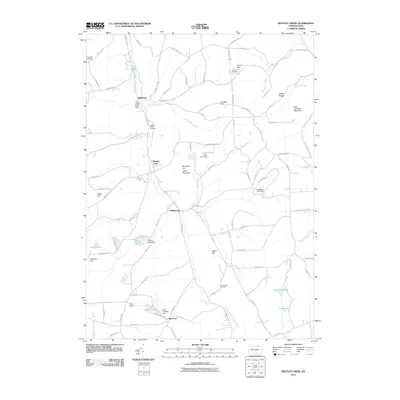 2010 Bentley Creek2010 Print · USGSCovers Athens Township, including Springfield Township, South Creek Township, and other nearby areas
 - 2010 Map of Wellsburg, 2010 Print
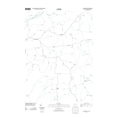
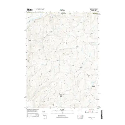
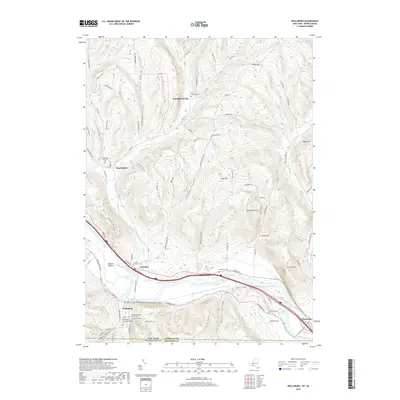
 2010 Wellsburg2010 Print · USGSCovers Athens Township, including Elmira, Chemung, and other nearby areas
 - 2010 Map of Waverly, 2010 Print
 2010 Waverly2010 Print · USGSCovers Athens Township, including Barton, Waverly, and other nearby areas
 - 2010 Map of Litchfield, 2010 Print
 2010 Litchfield2010 Print · USGSCovers Athens Township, including Barton, Sheshequin Township, and other nearby areas
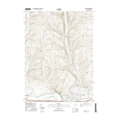
 - 2010 Map of Sayre, 2010 Print
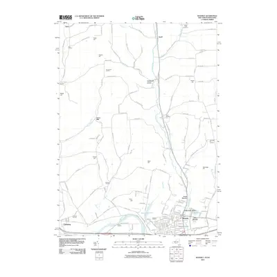
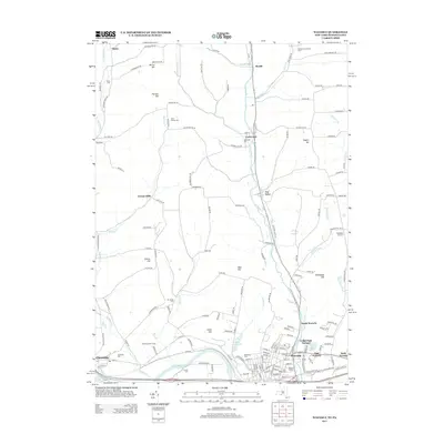
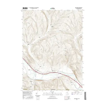
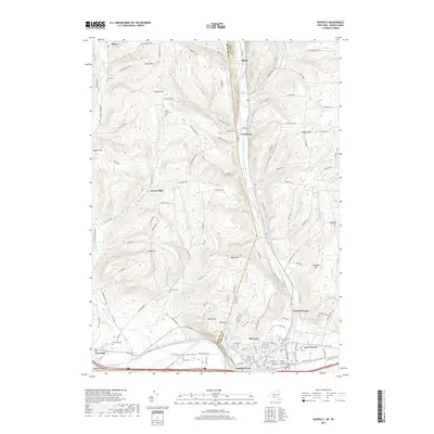
 2010 Sayre2010 Print · USGSCovers Athens Township, including Barton, Sayre, and other nearby areas
 - 2013 Map of Wellsburg, 2013 Print
 2013 Wellsburg2013 Print · USGSCovers Athens Township, including Elmira, Chemung, and other nearby areas
 - 2013 Map of Waverly, 2013 Print
 2013 Waverly2013 Print · USGSCovers Athens Township, including Barton, Waverly, and other nearby areas
 - 2013 Map of Litchfield, 2013 Print
 2013 Litchfield2013 Print · USGSCovers Athens Township, including Barton, Sheshequin Township, and other nearby areas
 - 2013 Map of Sayre, 2013 Print
 2013 Sayre2013 Print · USGSCovers Athens Township, including Barton, Sayre, and other nearby areas
 - 2013 Map of Bentley Creek, 2013 Print
 2013 Bentley Creek2013 Print · USGSCovers Athens Township, including Springfield Township, South Creek Township, and other nearby areas
 - 2016 Map of Litchfield, 2016 Print
 2016 Litchfield2016 Print · USGSCovers Athens Township, including Barton, Sheshequin Township, and other nearby areas
 - 2016 Map of Sayre, 2016 Print
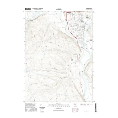 2016 Sayre2016 Print · USGSCovers Athens Township, including Barton, Sayre, and other nearby areas
 - 2016 Map of Bentley Creek, 2016 Print
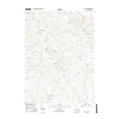 2016 Bentley Creek2016 Print · USGSCovers Athens Township, including Springfield Township, South Creek Township, and other nearby areas
 - 2016 Map of Wellsburg, 2016 Print
 2016 Wellsburg2016 Print · USGSCovers Athens Township, including Elmira, Chemung, and other nearby areas
 - 2016 Map of Waverly, 2016 Print
 2016 Waverly2016 Print · USGSCovers Athens Township, including Barton, Waverly, and other nearby areas
 - 2019 Map of Litchfield, 2019 Print
 2019 Litchfield2019 Print · USGSCovers Athens Township, including Barton, Sheshequin Township, and other nearby areas
 - 2019 Map of Sayre, 2019 Print
 2019 Sayre2019 Print · USGSCovers Athens Township, including Barton, Sayre, and other nearby areas
 - 2019 Map of Bentley Creek, 2019 Print
 2019 Bentley Creek2019 Print · USGSCovers Athens Township, including Springfield Township, South Creek Township, and other nearby areas
 - 2019 Map of Wellsburg, 2019 Print
 2019 Wellsburg2019 Print · USGSCovers Athens Township, including Elmira, Chemung, and other nearby areas
 - 2019 Map of Waverly, 2019 Print
 2019 Waverly2019 Print · USGSCovers Athens Township, including Barton, Waverly, and other nearby areas
 - 2023 Map of Sayre, 2023 Print
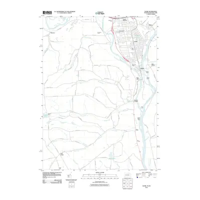
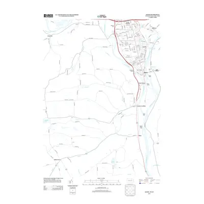
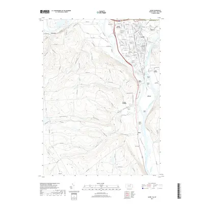
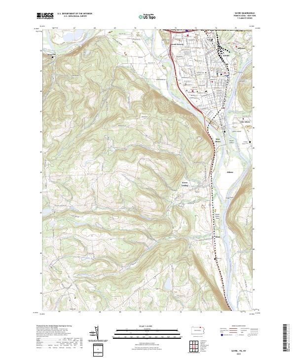 2023 Sayre2023 Print · USGSThe confluence of the Chemung River and Susquehanna River highlights this late-era survey of the Penn-York border. Researchers can trace family history at Tioga Point Cemetery, the Queen Esther Flats, and the older Old Athens Cemetery.
 - 2023 Map of Bentley Creek, 2023 Print
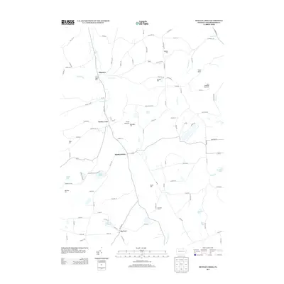
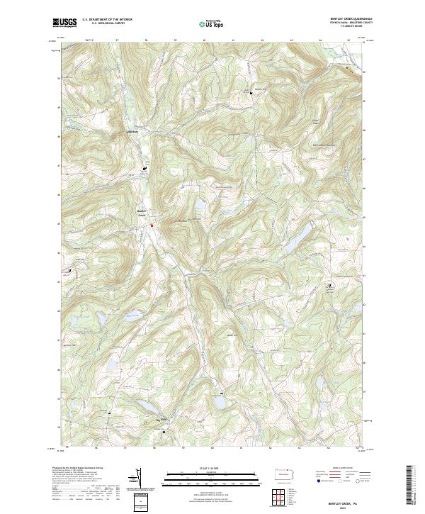 2023 Bentley Creek2023 Print · USGSBradford County's uplands are meticulously detailed here in the 2020s, showing a landscape defined by small hamlets and family farmsteads. Genealogists can locate numerous burial sites like Bentley Creek Cem and Crandal Cem near the shores of Lake Ondawa.
 - 2023 Map of Litchfield, 2023 Print
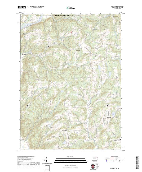 2023 Litchfield2023 Print · USGSThe Pennsylvania-New York borderlands are shown here in recent detail, where the Susquehanna River meets the high ridges of Bradford County. Genealogists can locate family burial sites at the Merrill Family Cem or trace old routes through Bumpville and North Ghent.
 - 2023 Map of Waverly, 2023 Print
 2023 Waverly2023 Print · USGSTioga County settlement and the Chemung River valley are captured in this modern survey of the New York-Pennsylvania border. Genealogists can locate numerous burial sites such as Price-Simcoe Cem and French Cem near the village of Waverly.
 - 2023 Map of Wellsburg, 2023 Print
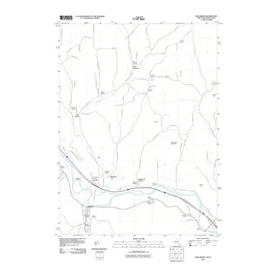
 2023 Wellsburg2023 Print · USGSThe Chemung River valley in the early twenty-first century reveals a landscape shaped by river commerce and steep ridges. Genealogists can trace family names through the North Chemung Cem, Searles Cem, and the village of Wellsburg.
End of results
Showing maps 1-25 of 25
Top cities near Athens Township
- Elmira historical maps
- Horseheads historical maps
- Southport historical maps
- Barton historical maps
- Elmira historical maps
- Southport historical maps
See more
Top neighborhoods of Athens Township
- Wilawana historical maps
- East Athens historical maps
- Greens Landing historical maps
- West Athens historical maps
Frequently asked questions
- What are the different types of historical maps available for Athens Township?
- What is the oldest map of Athens Township?
- Where can I purchase historical maps of Athens Township for my home or office?
- Where can I download high-res historical maps of Athens Township?
- Are there historical topographic maps available for Athens Township?
- Is there historical aerial imagery available for Athens Township?
- Where are historical maps of Athens Township sourced from?