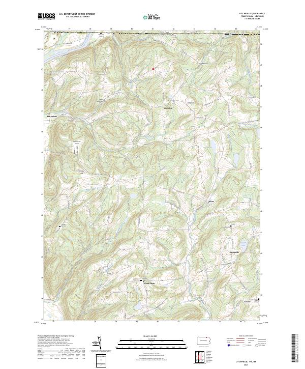
2023 Map of Litchfield
USGS Topo · Published 2023About this map
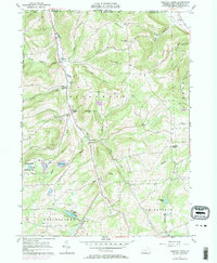
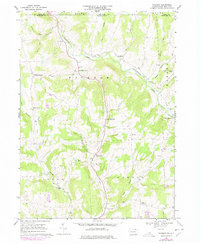
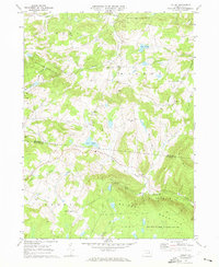
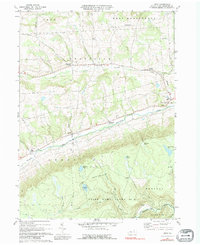
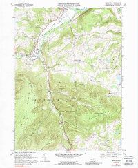
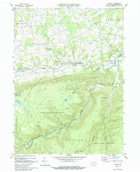
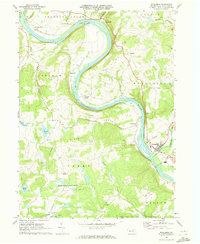
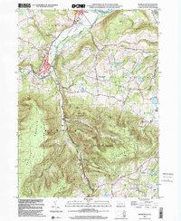
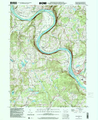
Litchfield and its surrounding rural hamlets occupy a high-relief landscape just south of the New York-Pennsylvania border. The terrain is defined by a dense network of creek valleys, including Satterlee Creek and Spaulding Creek, which carve through the uplands between the Susquehanna River to the west and Little Wapasenning Creek to the east. This modern survey illustrates the persistent agricultural and residential character of the region, where small settlements like Bumpville and North Ghent remain anchored by ancestral landmarks. Genealogy researchers will find significant value in the numerous burial sites across the township, such as the State Line Cem and several family-specific plots including the Rossi Family Cem and Merrill Family Cem. The map also captures local infrastructure like the Lars/Private Airport and the Susquehanna River Water Trail, reflecting the area's blend of traditional rural life and modern recreation.
Find a feature on this map
94 named features on this map. Tap any name to fly to it.
Don’t see what you’re looking for? This feature index may not catch every label — zoom into the map to look around manually.
Map Details
Editions of this 2023 Litchfield Map
This is the sole edition of this map. No revisions or reprints were ever made.
Historical Maps of Athens Township Through Time
27 maps found
1943 Monroeton
Bradford County, PA
1943 Powell
Bradford County, PA

1945 Powell
Bradford County, PA
1954 Gillett
Bradford County, PA
1957 Bentley Creek
Bradford County, PA
1957 East Troy
Bradford County, PA
1957 Ulster
Bradford County, PA
1967 Litchfield
Bradford County, PA
1967 Windham
Bradford County, PA
1969 Colley
Bradford County, PA
1969 Leroy
Bradford County, PA
1969 Monroeton
Bradford County, PA
1969 Powell
Bradford County, PA
1969 Wyalusing
Bradford County, PA
1999 Monroeton
Bradford County, PA
1999 Wyalusing
Bradford County, PA
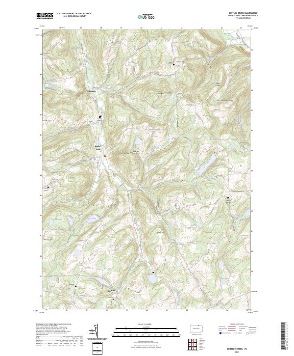
2023 Bentley Creek
Bradford County, PA
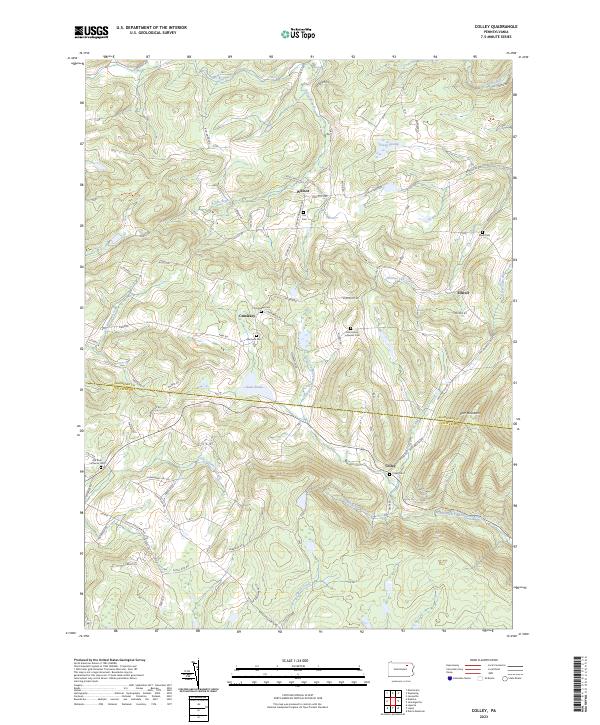
2023 Colley
Bradford County, PA
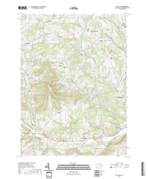
2023 East Troy
Bradford County, PA
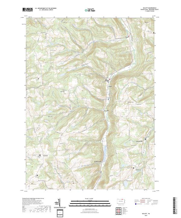
2023 Gillett
Bradford County, PA
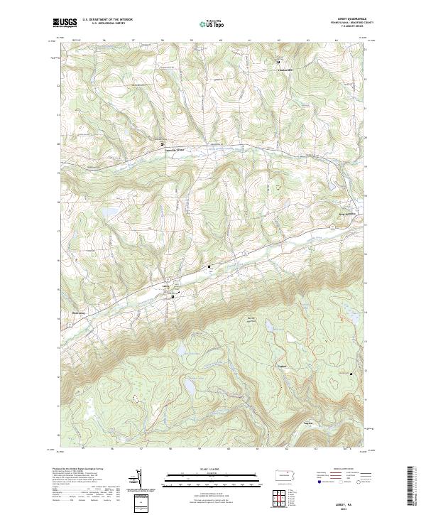
2023 Leroy
Bradford County, PA
2023 Litchfield
Bradford County, PA
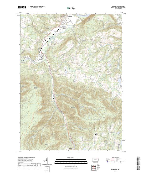
2023 Monroeton
Bradford County, PA
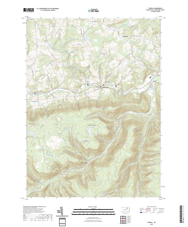
2023 Powell
Bradford County, PA
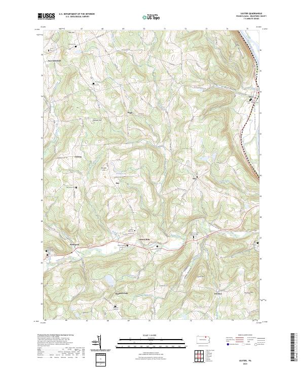
2023 Ulster
Bradford County, PA
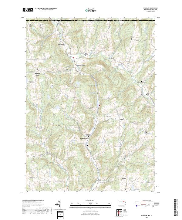
2023 Windham
Bradford County, PA
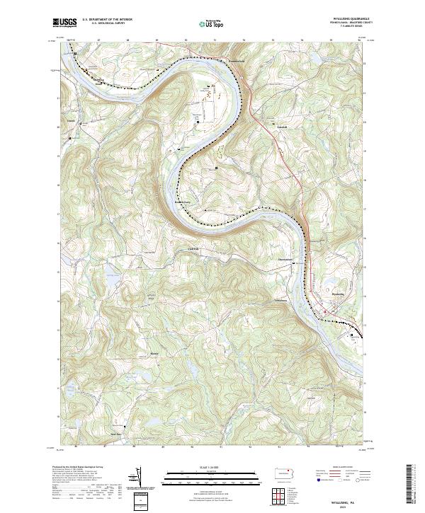
2023 Wyalusing
Bradford County, PA