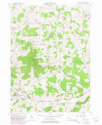
1957 Map of East Troy
USGS Topo · Published 1981About this map
Sugar Creek and its many tributaries, including Leonard Creek and Mill Creek, carve through the upland plateaus of Bradford County. This landscape is defined by its small agricultural hamlets and crossroads, such as Wetona, Leona, and Harkness. The southern portion of the map follows the corridor of the Roosevelt Highway, which connects the larger settlements of East Troy and West Burlington. Genealogists will find a high density of small family or community burial grounds, including Harkness Cem, Westbrook Cem, and Turnpike Cem, scattered across the townships of Springfield and Smithfield. The prominence of Mt Pisgah dominates the central terrain, while industrial remnants like Bourne Mills and civic landmarks like the High Sch in East Smithfield speak to the region's mid-century rural infrastructure.
Find a feature on this map
36 named features on this map. Tap any name to fly to it.
Don’t see what you’re looking for? This feature index may not catch every label — zoom into the map to look around manually.
Map Details
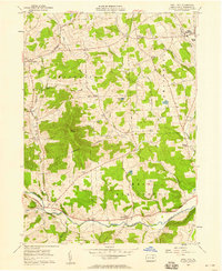
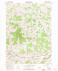
Editions of this 1957 East Troy Map
3 editions found
Other maps of this area

1931 · Troy
USGS Topo · 1:48,000

1938 · Troy
USGS Topo · 1:62,500

1939 · Sayre
USGS Topo · 1:62,500

1942 · Sayre
USGS Topo · 1:62,500

1942 · Canton
USGS Topo · 1:62,500

1943 · Powell
USGS Topo · 1:62,500

1944 · Canton
USGS Topo · 1:62,500

1945 · Powell
USGS Topo · 1:62,500

1948 · Sayre
USGS Topo · 1:62,500

1954 · Williamsport
USGS Topo · 1:250,000
Featured Places
- Springfield Township, PA
- West Burlington Township, PA
- Harkness, Springfield Township
- Bourne Mills, West Burlington Township
- Ayers Crossroads, Smithfield Township