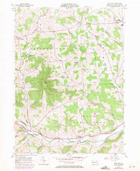
1957 Map of East Troy
USGS Topo · Published 1971About this map
Sugar Creek winds through the southern reaches of this Bradford County landscape, where the rural settlements of East Troy and West Burlington anchor a network of family-named crossroads and farming communities. The terrain is defined by the prominent height of Mt Pisgah and the numerous drainages such as Leonard Creek and Tomjack Creek that carve the upland plateau. In the northern section, East Smithfield serves as a local hub, complete with its High Sch and nearby Ayers Crossroads.
Find a feature on this map
50 named features on this map. Tap any name to fly to it.
Don’t see what you’re looking for? This feature index may not catch every label — zoom into the map to look around manually.
Map Details
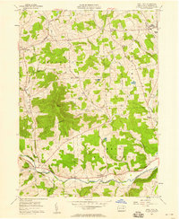
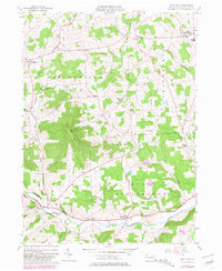
Editions of this 1957 East Troy Map
3 editions found
Other maps of this area

1931 · Troy
USGS Topo · 1:48,000

1938 · Troy
USGS Topo · 1:62,500

1939 · Sayre
USGS Topo · 1:62,500

1942 · Sayre
USGS Topo · 1:62,500

1942 · Canton
USGS Topo · 1:62,500

1943 · Powell
USGS Topo · 1:62,500

1944 · Canton
USGS Topo · 1:62,500

1945 · Powell
USGS Topo · 1:62,500

1948 · Sayre
USGS Topo · 1:62,500

1954 · Williamsport
USGS Topo · 1:250,000
Featured Places
- Springfield Township, PA
- West Burlington Township, PA
- Harkness, Springfield Township
- Bourne Mills, West Burlington Township
- Ayers Crossroads, Smithfield Township