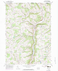
1954 Map of Gillett
USGS Topo · Published 1983About this map
The northern border of Columbia and South Creek townships meets the New York state line in this mid-century survey of Bradford County. The landscape is defined by the steep north-south corridor of South Creek, which serves as the primary artery for both the Penn Central railroad and local settlement. Small villages and crossroads like Gillett, Fassett, and Snedekerville anchor the valley floor, while the surrounding uplands are marked by family-named landmarks such as Doty Hill and Rowley Hill. Genealogy researchers will find significant value in the documentation of remote sites like the Baptist Hill Ch and its associated Cem, along with Potter Cem and Doty Hill Cem. The map illustrates a rural economy transition, where traditional hollows like Blodgett Hollow and Wolfe Hollow remain largely agricultural even as regional transportation networks modernize.
Find a feature on this map
31 named features on this map. Tap any name to fly to it.
Don’t see what you’re looking for? This feature index may not catch every label — zoom into the map to look around manually.
Map Details
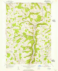
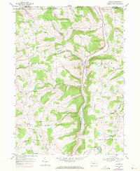
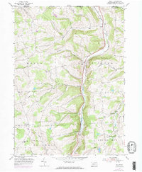
Editions of this 1954 Gillett Map
4 editions found
Other maps of this area

1895 · Elmira
USGS Topo · 1:62,500

1902 · Waverly
USGS Topo · 1:62,500

1905 · Watkins Glen
USGS Topo · 1:125,000

1931 · Troy
USGS Topo · 1:48,000

1938 · Troy
USGS Topo · 1:62,500

1939 · Sayre
USGS Topo · 1:62,500

1942 · Sayre
USGS Topo · 1:62,500

1948 · Sayre
USGS Topo · 1:62,500

1950 · Elmira
USGS Topo · 1:250,000

1953 · Roseville
USGS Topo · 1:24,000
Featured Places
- Springfield Township, PA
- South Creek Township, PA
- Waterloo, Wells Township
- Columbia Township, PA
- Wells Township, PA