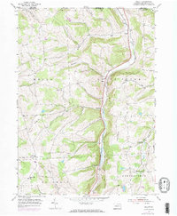
1954 Map of Gillett
USGS Topo · Published 1983About this map
The New York Pennsylvania state line defines the northern boundary of this 1950s survey, where the valley of South Creek serves as a primary corridor for both road and rail. The Penn Central railroad tracks parallel the water, connecting a string of small rural hamlets including Fassett, Gillett, and Snedekerville. This infrastructure highlights the historical importance of the valley as a transit route through the southern tier and northern Bradford County.
Find a feature on this map
30 named features on this map. Tap any name to fly to it.
Don’t see what you’re looking for? This feature index may not catch every label — zoom into the map to look around manually.
Map Details
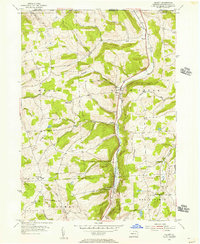
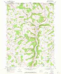
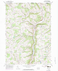
Editions of this 1954 Gillett Map
4 editions found
Other maps of this area

1895 · Elmira
USGS Topo · 1:62,500

1902 · Waverly
USGS Topo · 1:62,500

1905 · Watkins Glen
USGS Topo · 1:125,000

1931 · Troy
USGS Topo · 1:48,000

1938 · Troy
USGS Topo · 1:62,500

1939 · Sayre
USGS Topo · 1:62,500

1942 · Sayre
USGS Topo · 1:62,500

1948 · Sayre
USGS Topo · 1:62,500

1950 · Elmira
USGS Topo · 1:250,000

1953 · Roseville
USGS Topo · 1:24,000
Featured Places
- Springfield Township, PA
- South Creek Township, PA
- Waterloo, Wells Township
- Columbia Township, PA
- Wells Township, PA