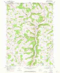
1954 Map of Gillett
USGS Topo · Published 1971About this map
South Creek carves a deep valley through the northern Bradford County highlands, serving as a primary corridor for both the Penn Central railroad and state transport. In the 1950s and late 1960s, this area remained defined by small crossroad settlements and family-named landforms that reflect generations of upland farming. The valley floor is punctuated by the hamlets of Gillett, Fassett, and Snedekerville, while higher elevations support smaller communities like Coryland and Checkerville. Cultural life is anchored by landmarks such as the Baptist Hill Ch and the Potter Cem. The terrain is characterized by a series of prominent rises including Doty Hill and Rowley Hill, separated by drainages like Bird Cr and Roaring Run. This map reveals a landscape where the rural economy was tightly integrated with the rail line, providing a detailed look at the interface between Pennsylvania and New York at the state boundary.
Find a feature on this map
32 named features on this map. Tap any name to fly to it.
Don’t see what you’re looking for? This feature index may not catch every label — zoom into the map to look around manually.
Map Details
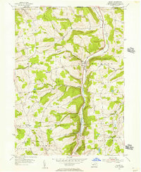
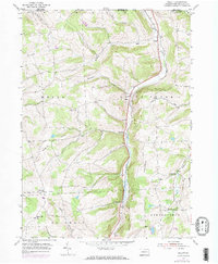
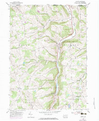
Editions of this 1954 Gillett Map
4 editions found
Other maps of this area

1895 · Elmira
USGS Topo · 1:62,500

1902 · Waverly
USGS Topo · 1:62,500

1905 · Watkins Glen
USGS Topo · 1:125,000

1931 · Troy
USGS Topo · 1:48,000

1938 · Troy
USGS Topo · 1:62,500

1939 · Sayre
USGS Topo · 1:62,500

1942 · Sayre
USGS Topo · 1:62,500

1948 · Sayre
USGS Topo · 1:62,500

1950 · Elmira
USGS Topo · 1:250,000

1953 · Roseville
USGS Topo · 1:24,000
Featured Places
- Springfield Township, PA
- South Creek Township, PA
- Waterloo, Wells Township
- Columbia Township, PA
- Wells Township, PA