2010s Maps of Spring Township, Pennsylvania
Explore 16 historic maps of Spring Township from the 2010s. These maps offer a rare glimpse into what life looked like during the 2010s — showing old roads, neighborhoods, homes, and landmarks that have changed or disappeared over time.
Whether you're researching your family's past, planning a metal detecting trip, or studying how Spring Township's landscape evolved across the 2010s, these high-resolution maps are a powerful tool for exploring the history of this region.
- Focus on a specific era: All maps on this page are from the 2010s, giving you a focused view of this time period.
- See what’s changed: Compare century-old streets, trails, and buildings to today's modern landscape using overlays and satellite layers.
- Research with precision: Use these maps for genealogy, historical research, land use analysis, or educational projects.
- View, download, or print: Maps are fully viewable online in high resolution, and can be downloaded or printed for your own records.
Start exploring Spring Township's history through authentic maps from the 2010s. This is your window into the past.
Spring Township, PA maps
(16)- 2010 Map of State College, 2010 Print
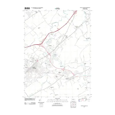 2010 State College2010 Print · USGSThe Nittany Valley during a period of significant collegiate and suburban growth shows the institutional footprint of Pennsylvania State University. Researchers can trace local heritage through Slab Cabin Cemetery, the historic Boalsburg area, and the Little Flat Fire Tower.
 - 2010 Map of Bellefonte, 2010 Print
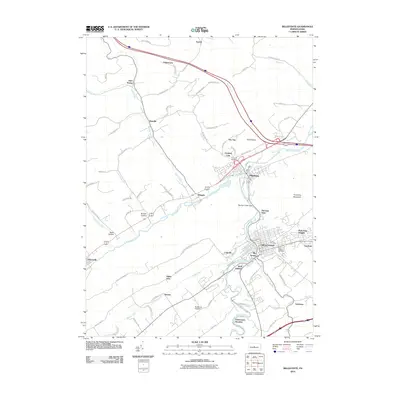 2010 Bellefonte2010 Print · USGSThe borough of Bellefonte and its neighboring valleys are seen here in the early 21st century. Researchers can trace family history through several named burial grounds like Union Cemetery or explore established communities such as Milesburg and Coleville.
 - 2010 Map of Centre Hall, 2010 Print
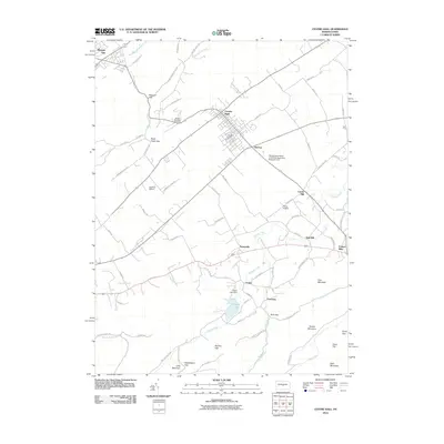 2010 Centre Hall2010 Print · USGSCentre County's ridge-and-valley country is captured here in the early twenty-first century, showing the enduring agricultural character of the region. Genealogists and local historians can trace the footprints of old hamlets like Tusseyville, Red Mill, and the landmarks around Penn Cave.
 - 2010 Map of Mingoville, 2010 Print
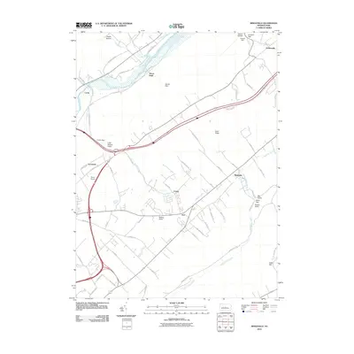 2010 Mingoville2010 Print · USGSThe rural valleys of Centre County are captured here in the early twenty-first century as modern transit corridors intersect older settlement patterns. Genealogists and local researchers can locate family land near Zion, Mingoville, and the historic area around Curtin.
 - 2013 Map of Mingoville, 2013 Print
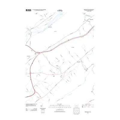 2013 Mingoville2013 Print · USGSCentre County at the start of the 2010s reveals a network of valley settlements and ridgeline gaps. Genealogists and local historians can trace family properties and roads near Mingoville, Zion, and the shores of Foster Joseph Sayers Lake.
 - 2013 Map of Centre Hall, 2013 Print
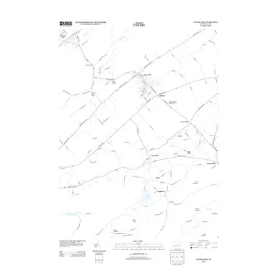 2013 Centre Hall2013 Print · USGSPenns Valley comes into focus in the early 21st century, showing a mix of established borough life and deep agricultural roots. Genealogists and historians can trace family-named areas and local landmarks like Red Mill, Potters Mills, and the Colyer Lake area.
 - 2013 Map of State College, 2013 Print
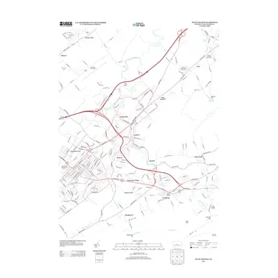 2013 State College2013 Print · USGSState College and the surrounding Nittany Valley appear here in the early twenty-first century as the region continued its modern growth. Researchers can trace the development of University Park and identify local landmarks from Boalsburg to the Little Flat Fire Tower.
 - 2013 Map of Bellefonte, 2013 Print
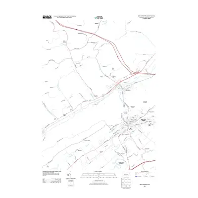 2013 Bellefonte2013 Print · USGSThe borough of Bellefonte and its neighbors appear here in the early twenty-first century, showing the modern layout of this historic regional hub. Researchers can trace the development of outlying settlements like Milesburg and Wingate or locate local landmarks like Big Spring and Fishermans Paradise.
 - 2016 Map of Mingoville, 2016 Print
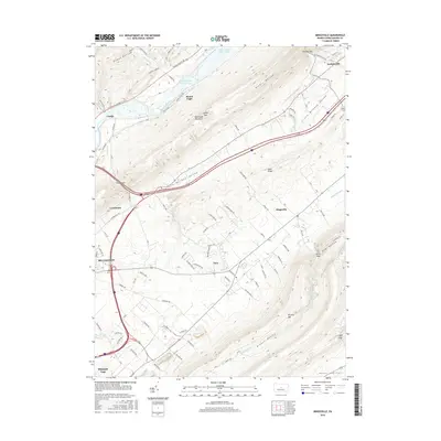 2016 Mingoville2016 Print · USGSThe central Pennsylvania ridges near Bellefonte appear in modern detail just as they did in the mid-2010s. Genealogists and historians can trace the developments of Zion, Jacksonville, and Mingoville or locate family-named landmarks like Dopps Hollow and Diehls Hollow.
 - 2016 Map of Centre Hall, 2016 Print
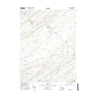 2016 Centre Hall2016 Print · USGSPenns Valley remains a quintessential Pennsylvania landscape of ridge-and-valley settlements in the mid-2010s. Researchers can trace the legacy of early industry and transport through sites like Potters Mills, Red Mill, and the small aviation field at Centre Airpark.
 - 2016 Map of Bellefonte, 2016 Print
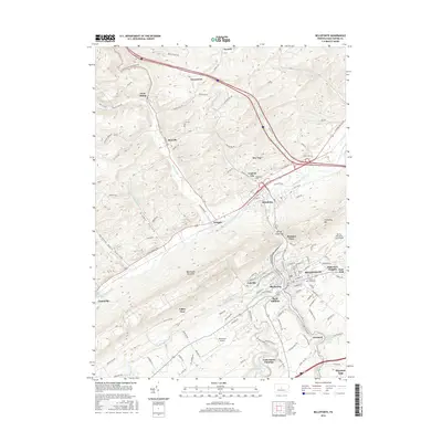 2016 Bellefonte2016 Print · USGSBellefonte and the surrounding Nittany Valley appear here in the mid-2010s, showing a landscape shaped by ridge-and-valley topography. Genealogists and historians can locate family sites at Union Cem, trace the waters of Spring Creek, and explore established settlements like Milesburg and Unionville.
 - 2016 Map of State College, 2016 Print
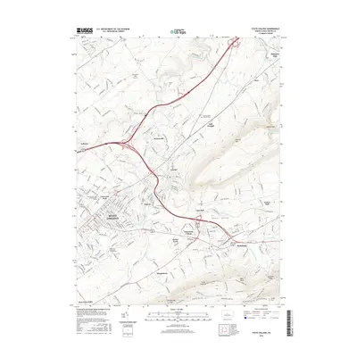 2016 State College2016 Print · USGSState College and the Penn State campus are shown at the peak of their modern expansion in the mid-2010s. Researchers can trace the development of surrounding communities like Houserville and Boalsburg or locate local landmarks like the University Park Airport and Slab Cabin Cem.
 - 2019 Map of State College, 2019 Print
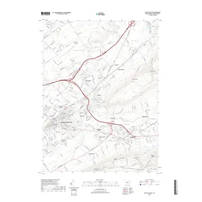 2019 State College2019 Print · USGSThe Centre County region near Pennsylvania State University shows the dense suburban growth of STATE COLLEGE and its adjacent valleys in 2019. Local historians can trace the development of outlying settlements like Boalsburg and Lemont or locate historic burial grounds including Rock Hill Cem and Houserville Cem.
 - 2019 Map of Centre Hall, 2019 Print
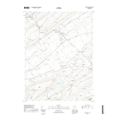 2019 Centre Hall2019 Print · USGSThe heart of the Nittany and Penns valleys remains defined by its traditional ridge-and-valley settlements and rural road networks. Genealogists and local historians can trace legacy sites like Potters Mills, Emanuel Union Cem, and the old rail-and-road junctions at Old Fort.
 - 2019 Map of Bellefonte, 2019 Print
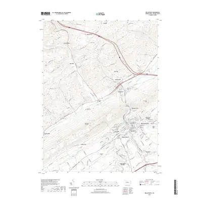 2019 Bellefonte2019 Print · USGSBellefonte and the Nittany Valley appear in high detail at the end of the 2010s, showing the intersection of industrial legacy and modern growth. Researchers can trace family history through numerous sites like Friends Cem Alexander Farm, the Centre County Courthouse, and Fishermans Paradise.
 - 2019 Map of Mingoville, 2019 Print
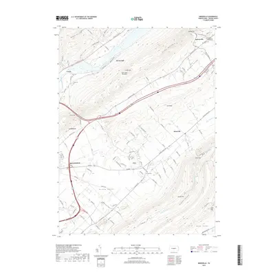 2019 Mingoville2019 Print · USGSThe valleys of Centre County are captured here in the late 2010s, showing the enduring settlement patterns between the ridges. Researchers can trace local heritage at the Lick Run Presbyterian Church Cem and through the small hamlets of Mingoville and Zion.
End of results
Showing maps 1-16 of 16
Top cities near Spring Township
- State College historical maps
- Bellefonte historical maps
- Boalsburg historical maps
- Pleasant Gap historical maps
- Lamar historical maps
- Houserville historical maps
See more
Top neighborhoods of Spring Township
- Lyonstown historical maps
- Pleasant View historical maps
- Coleville historical maps
- Axemann historical maps
- Pleasant Gap historical maps
- Spring Gardens historical maps
See more
Frequently asked questions
- What are the different types of historical maps available for Spring Township?
- What is the oldest map of Spring Township?
- Where can I purchase historical maps of Spring Township for my home or office?
- Where can I download high-res historical maps of Spring Township?
- Are there historical topographic maps available for Spring Township?
- Is there historical aerial imagery available for Spring Township?
- Where are historical maps of Spring Township sourced from?