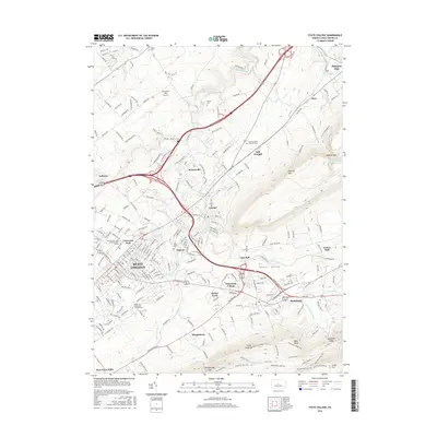
2016 Map of State College
USGS Topo · Published 2016About this map
State College and the sprawling Pennsylvania State University-Main Campus dominate this mid-2010s landscape, illustrating the modern footprint of one of Pennsylvania's most significant educational centers. The map details the transition from the dense urban grid and academic core of University Park to the surrounding residential communities of Houserville, Lemont, and Boalsburg. This era is marked by the sophisticated infrastructure supporting the region, including the University Park Airport and the complex interchange networks at Toftrees.
Find a feature on this map
210 named features on this map. Tap any name to fly to it.
Don’t see what you’re looking for? This feature index may not catch every label — zoom into the map to look around manually.
Map Details
Editions of this 2016 State College Map
This is the sole edition of this map. No revisions or reprints were ever made.
Other maps of this area

1908 · Bellefonte
USGS Topo · 1:62,500

1909 · Bellefonte
USGS Topo · 1:62,500

1919 · Menno
USGS Topo · 1:62,500

1924 · Centre Hall
USGS Topo · 1:62,500

1924 · Lewistown
USGS Topo · 1:62,500

1927 · Lewisburg
USGS Topo · 1:62,500

1929 · Centre Hall
USGS Topo · 1:62,500

1935 · Allensville
USGS Topo · 1:62,500

1938 · Allensville
USGS Topo · 1:62,500

1943 · Lewistown
USGS Topo · 1:125,000