Old Maps of Elk County, Pennsylvania
Explore 60 old maps of Elk County, spanning from 1918 to today. These high-resolution historic maps reveal how streets, neighborhoods, landmarks, and natural features evolved over time — perfect for genealogy, metal detecting, research, and local history exploration.
What you can do with these maps:
- See how Elk County changed over time: Compare historical maps to modern-day views to trace roads, homesites, rail lines & more.
- View detailed metadata: Each map includes creators, publishers, year, scale, and archive source.
- Overlay maps with satellite & LiDAR: Visualize the past alongside modern tools to explore terrain & human change.
- Trusted historical sources: Maps sourced from the USGS, Library of Congress, and other archives.
- Access maps your way: View online, download high-res files, or order prints for personal or research use.
Start exploring old maps of Elk County to uncover forgotten places, hidden landmarks, and the deep history beneath your feet.
Elk County, PA maps
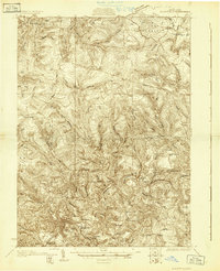
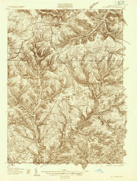
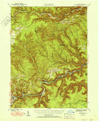
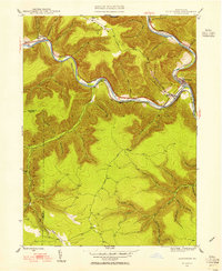
(60)- 1918 Map of Loleta
 1918 Loleta1918 Print · USGSCovers Elk County, including Warsaw Township, Millstone Township, and other nearby areas
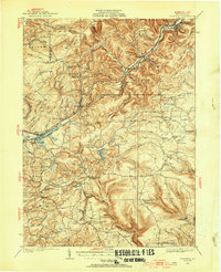
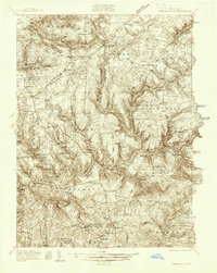
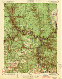
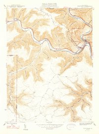
 - 1929 Map of Karthaus
 1929 Karthaus1929 Print · USGSCovers Elk County, including Karthaus Township, Moshannon, and other nearby areas3 unique versions available
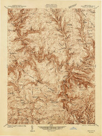
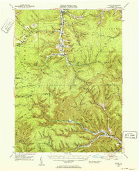
 - 1929 Map of Clearfield
 1929 Clearfield1929 Print · USGSCovers Elk County, including Clearfield, Goshen Township, and other nearby areas2 unique versions available
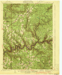
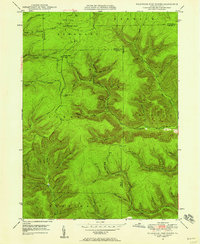
 - 1929 Map of Penfield, 1954 Print
 1929 Penfield1954 Print · USGSCovers Elk County, including Sandy Township, DuBois, and other nearby areas3 unique versions available
 - 1932 Map of Clearfield
 1932 Clearfield1932 Print · USGSCovers Elk County, including Clearfield, Goshen Township, and other nearby areas4 unique versions available
 - 1932 Map of Penfield
 1932 Penfield1932 Print · USGSCovers Elk County, including Sandy Township, DuBois, and other nearby areas3 unique versions available
 - 1932 Map of Karthaus
 1932 Karthaus1932 Print · USGSCovers Elk County, including Karthaus Township, Moshannon, and other nearby areas3 unique versions available
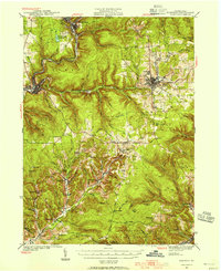
 - 1934 Map of Kane
 1934 Kane1934 Print · USGSCovers Elk County, including Kane, Sheffield Township, and other nearby areas3 unique versions available
 - 1935 Map of Mt. Jewett
 1935 Mt. Jewett1935 Print · USGSCovers Elk County, including Saint Marys, Mount Jewett, and other nearby areas3 unique versions available
 - 1936 Map of Marienville
 1936 Marienville1936 Print · USGSCovers Elk County, including Warsaw Township, Millstone Township, and other nearby areas3 unique versions available
 - 1939 Map of Kane
 1939 Kane1939 Print · USGSCovers Elk County, including Kane, Sheffield Township, and other nearby areas3 unique versions available
 - 1940 Map of Hallton
 1940 Hallton1940 Print · USGSCovers Elk County, including Warsaw Township, Millstone Township, and other nearby areas3 unique versions available
 - 1940 Map of Mt. Jewett
 1940 Mt. Jewett1940 Print · USGSCovers Elk County, including Saint Marys, Mount Jewett, and other nearby areas3 unique versions available
 - 1941 Map of Marienville
 1941 Marienville1941 Print · USGSCovers Elk County, including Warsaw Township, Millstone Township, and other nearby areas3 unique versions available
 - 1941 Map of Benezette, 1952 Print
 1941 Benezette1952 Print · USGSCovers Elk County, including Saint Marys, Benezette Township, and other nearby areas3 unique versions available
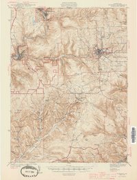
 - 1941 Map of Ridgway, 1956 Print
 1941 Ridgway1956 Print · USGSCovers Elk County, including Saint Marys, Ridgway, and other nearby areas2 unique versions available
 - 1943 Map of Hallton
 1943 Hallton1943 Print · USGSCovers Elk County, including Warsaw Township, Millstone Township, and other nearby areas3 unique versions available
 - 1943 Map of Benezette
 1943 Benezette1943 Print · USGSCovers Elk County, including Saint Marys, Benezette Township, and other nearby areas2 unique versions available
 - 1944 Map of Ridgway
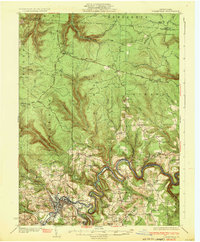
 1944 Ridgway1944 Print · USGSCovers Elk County, including Saint Marys, Ridgway, and other nearby areas3 unique versions available
 - 1945 Map of Driftwood, 1953 Print
 1945 Driftwood1953 Print · USGSCovers Elk County, including Benezette Township, Wharton Township, and other nearby areas4 unique versions available
 - 1945 Map of Driftwood, 1955 Print
 1945 Driftwood1955 Print · USGSCovers Elk County, including Benezette Township, Driftwood, and other nearby areas3 unique versions available
 - 1947 Map of Driftwood
 1947 Driftwood1947 Print · USGSCovers Elk County, including Benezette Township, Driftwood, and other nearby areas2 unique versions available
 - 1948 Map of Crosby, 1952 Print
 1948 Crosby1952 Print · USGSCovers Elk County, including Saint Marys, Liberty Township, and other nearby areas3 unique versions available
 - 1948 Map of Wildwood Fire Tower, 1958 Print
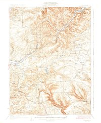
 1948 Wildwood Fire Tower1958 Print · USGSCovers Elk County, including Saint Marys, Norwich Township, and other nearby areas5 unique versions available
 - 1948 Map of Crosby, 1965 Print
 1948 Crosby1965 Print · USGSCovers Elk County, including Norwich Township, Crosby, and other nearby areas3 unique versions available
Showing maps 1-25 of 60
Top cities of Elk County
- Saint Marys historical maps
- Ridgway historical maps
- Johnsonburg historical maps
- Benezette Township historical maps
- Millstone Township historical maps
Frequently asked questions
- What are the different types of historical maps available for Elk County?
- What is the oldest map of Elk County?
- Where can I purchase historical maps of Elk County for my home or office?
- Where can I download high-res historical maps of Elk County?
- Are there historical topographic maps available for Elk County?
- Is there historical aerial imagery available for Elk County?
- Where are historical maps of Elk County sourced from?