2000s (21st Century) Maps of Washington Township, Pennsylvania
Explore 15 historic maps of Washington Township from the 2000s (21st Century). These maps offer a rare glimpse into what life looked like during the 2000s — showing old roads, neighborhoods, homes, and landmarks that have changed or disappeared over time.
Whether you're researching your family's past, planning a metal detecting trip, or studying how Washington Township's landscape evolved across the 2000s, these high-resolution maps are a powerful tool for exploring the history of this region.
- Focus on a specific era: All maps on this page are from the 2000s, giving you a focused view of this time period.
- See what’s changed: Compare century-old streets, trails, and buildings to today's modern landscape using overlays and satellite layers.
- Research with precision: Use these maps for genealogy, historical research, land use analysis, or educational projects.
- View, download, or print: Maps are fully viewable online in high resolution, and can be downloaded or printed for your own records.
Start exploring Washington Township's history through authentic maps from the 2000s. This is your window into the past.
Washington Township, PA maps
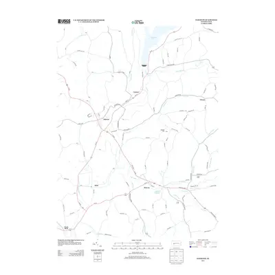
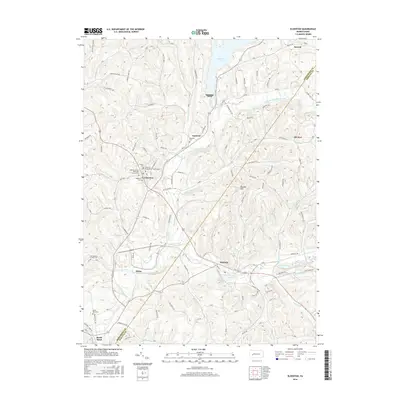
(15)- 2010 Map of Plumville, 2010 Print
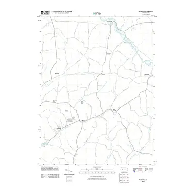 2010 Plumville2010 Print · USGSCovers Washington Township, including Rayne Township, Plumville, and other nearby areas
 - 2010 Map of Elderton, 2010 Print
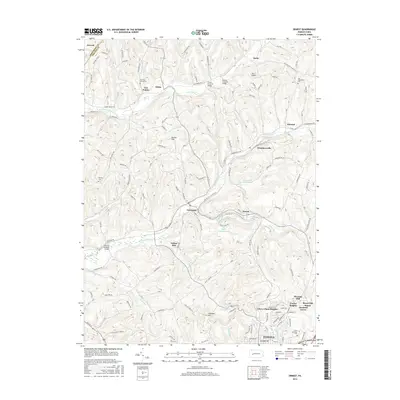
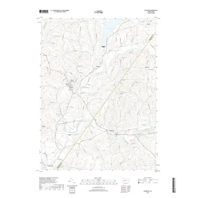
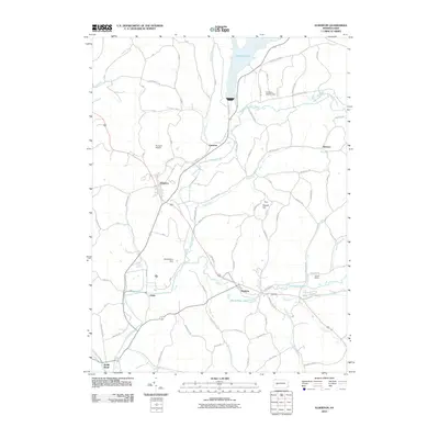 2010 Elderton2010 Print · USGSCovers Washington Township, including South Bend Township, Elderton, and other nearby areas
 - 2010 Map of Ernest, 2010 Print
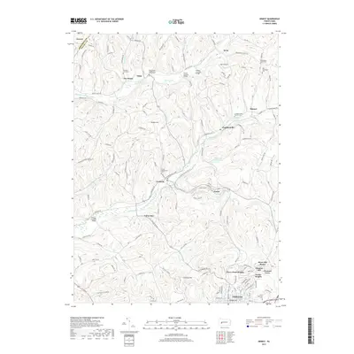
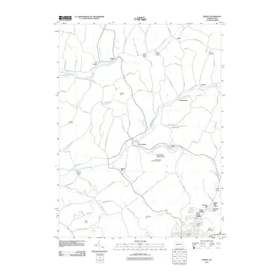 2010 Ernest2010 Print · USGSCovers Washington Township, including Indiana, Rayne Township, and other nearby areas
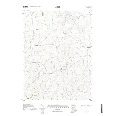
 - 2013 Map of Plumville, 2013 Print
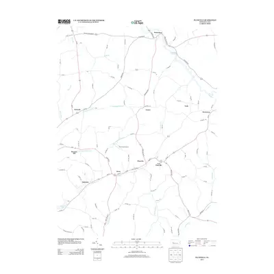 2013 Plumville2013 Print · USGSCovers Washington Township, including Rayne Township, Plumville, and other nearby areas
 - 2013 Map of Elderton, 2013 Print
 2013 Elderton2013 Print · USGSCovers Washington Township, including South Bend Township, Elderton, and other nearby areas
 - 2013 Map of Ernest, 2013 Print
 2013 Ernest2013 Print · USGSCovers Washington Township, including Indiana, Rayne Township, and other nearby areas
 - 2016 Map of Plumville, 2016 Print
 2016 Plumville2016 Print · USGSCovers Washington Township, including Rayne Township, Plumville, and other nearby areas
 - 2016 Map of Ernest, 2016 Print
 2016 Ernest2016 Print · USGSCovers Washington Township, including Indiana, Rayne Township, and other nearby areas
 - 2016 Map of Elderton, 2016 Print
 2016 Elderton2016 Print · USGSCovers Washington Township, including South Bend Township, Elderton, and other nearby areas
 - 2019 Map of Elderton, 2019 Print
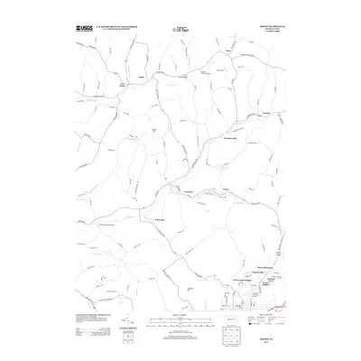
 2019 Elderton2019 Print · USGSCovers Washington Township, including South Bend Township, Elderton, and other nearby areas
 - 2019 Map of Plumville, 2019 Print
 2019 Plumville2019 Print · USGSCovers Washington Township, including Rayne Township, Plumville, and other nearby areas
 - 2019 Map of Ernest, 2019 Print
 2019 Ernest2019 Print · USGSCovers Washington Township, including Indiana, Rayne Township, and other nearby areas
 - 2023 Map of Ernest, 2023 Print
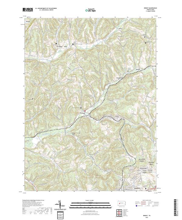 2023 Ernest2023 Print · USGSIndiana County's northern hills are shown in detail as they appeared recently, revealing a landscape defined by deep valleys and high-elevation cemeteries. Genealogists can trace family connections at Old Washington Cem or Center Presbyterian Cem while exploring rural hamlets like Willet and Kimmel.
 - 2023 Map of Elderton, 2023 Print
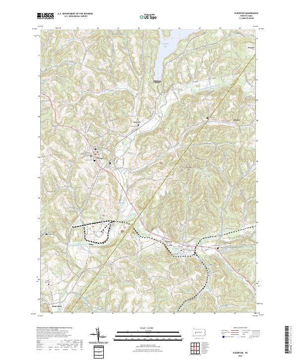 2023 Elderton2023 Print · USGSThe borderlands of Armstrong and Indiana Counties are captured here in the early 2020s, showing a rural landscape shaped by narrow valleys and local waterways. Family historians can trace numerous burial sites like Kimmel Cem and Montgomery Family Cem or locate the quiet crossroads of Gastown and Atwood.
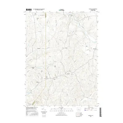
 - 2023 Map of Plumville, 2023 Print
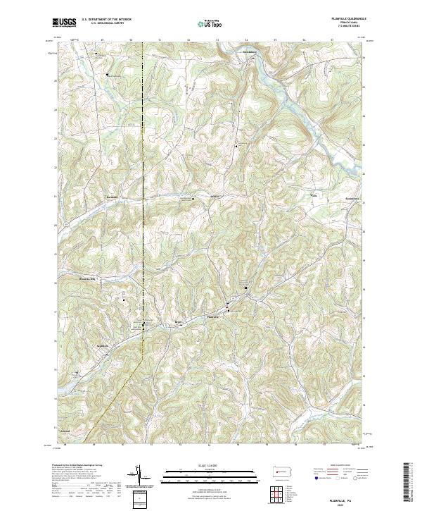 2023 Plumville2023 Print · USGSWestern Pennsylvania's rural landscape is captured here in the early twenty-first century, spanning the border of Armstrong and Indiana Counties. Genealogists can trace family landmarks and numerous local burial sites including Plumville Cem and Slate Hill Cem.
End of results
Showing maps 1-15 of 15
Top cities near Washington Township
- Indiana historical maps
- Rayne Township historical maps
- Brush Valley Township historical maps
- Homer City historical maps
- Clymer historical maps
- Black Lick Township historical maps
See more
Top neighborhoods of Washington Township
Frequently asked questions
- What are the different types of historical maps available for Washington Township?
- What is the oldest map of Washington Township?
- Where can I purchase historical maps of Washington Township for my home or office?
- Where can I download high-res historical maps of Washington Township?
- Are there historical topographic maps available for Washington Township?
- Is there historical aerial imagery available for Washington Township?
- Where are historical maps of Washington Township sourced from?