Old Maps of Centre Township, Pennsylvania for Hiking & Exploration
Hike through history with 29 historic maps of Centre Township. Explore old trails, ghost towns, and forgotten backroads — perfect for outdoor adventurers and local explorers.
- Rediscover forgotten places: Map out old mining camps, roads, and footpaths that no longer exist on modern maps.
- Layer with modern tools: Combine with LiDAR or satellite views to plan hikes through historical terrain.
- Made for exploration: Popular among hikers, overlanders, and local history lovers.
Use these maps to find adventure and explore the hidden past of Centre Township.
Centre Township, PA maps
(29)- 1907 Map of New Bloomfield
 1907 New Bloomfield1907 Print · USGSPerry County at the start of the twentieth century was a landscape of steep ridges and vital river junctions. Genealogists and historians can trace family locations in settlements like New Bloomfield or locate early industrial sites such as Juniata Furnace and Cove Forge.6 unique versions available
 - 1930 Map of Loysville, 1953 Print
 1930 Loysville1953 Print · USGSPerry County's rural heartland is meticulously detailed in the 1930s, showing a landscape of ridge-and-valley farms and forest camps. Genealogists can trace family roots through numerous local landmarks like St Paul Ch, Academia Sch, and Loysville.
 - 1933 Map of Loysville
 1933 Loysville1933 Print · USGSPerry County's rural heartland is shown in detail during the early 1930s, when isolated valleys were still dotted with one-room schoolhouses and family farms. Genealogists can trace family footprints through sites like Fort Robinson, Cisna Run, and the numerous local schools like Oak Grove Sch.3 unique versions available
 - 1943 Map of New Bloomfield
 1943 New Bloomfield1943 Print · USGSPerry County's ridge-and-valley landscape is captured here during the Second World War as the rail-and-river corridor remained vital to the region. Genealogists can locate family landmarks like Hustons Mill, Mecks Corner, and the old Wila P O post office.
 - 1950 Map of Harrisburg, 1952 Print
 1950 Harrisburg1952 Print · USGSMid-century Central Pennsylvania comes alive through its dense rail networks and river valley settlements during the post-war industrial era. Genealogists and historians can trace family roots through hubs like Harrisburg, locate Carlisle Barracks, or follow the Pennsylvania RR through the Lebanon Valley.
 - 1952 Map of Ickesburg, 1958 Print
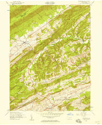 1952 Ickesburg1958 Print · USGSCentral Pennsylvania's ridge-and-valley landscape is captured here in the early 1950s, showing a network of rural townships and mountain gaps. Genealogists can locate family landmarks like Eshcol Memorial Cemetery, Ickesburg High School, and the dismantled railroad through Greenpark.4 unique versions available
 - 1952 Map of Duncannon, 1958 Print
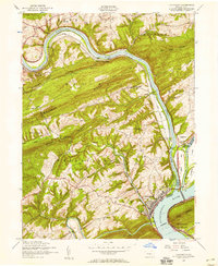 1952 Duncannon1958 Print · USGSThe river junction at Duncannon flourished in the mid-twentieth century as a center for rail and road travel between the ridges of Perry County. Genealogists can trace family sites at Red Hill Cem and Mahanoy School, or locate landmarks like Amity Hall.5 unique versions available
 - 1952 Map of Newport, 1958 Print
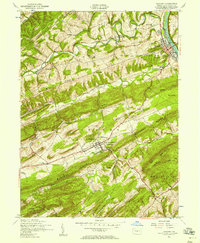 1952 Newport1958 Print · USGSPerry County in the early fifties is captured here at a moment when mountain ridges still defined the local economy and social geography. Researchers can locate rural landmarks like Juniata Furnace, the Carson Long Institute at New Bloomfield, and numerous family-named schools.4 unique versions available
 - 1952 Map of Loysville, 1959 Print
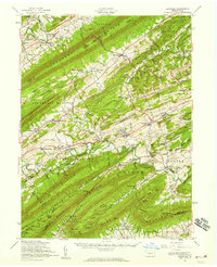 1952 Loysville1959 Print · USGSPerry County and the Juniata border at mid-century are defined by the ridgelines of the Appalachians and the legacy of the timber and rail era. Genealogists can trace family roots at Eshcol Cem or Emory Chapel Cem and locate schools like Manassa Sch.2 unique versions available
 - 1952 Map of New Bloomfield, 1959 Print
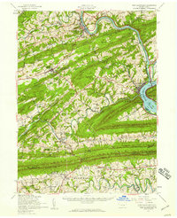 1952 New Bloomfield1959 Print · USGSPerry County's ridge-and-valley landscape is captured here in the early 1950s, showing a region defined by river commerce and rural mountain life. Genealogists can trace family names through dozens of landmarks like Carson Long Institute, St Davids Ch, and Shermans Dale Sch.2 unique versions available
 - 1957 Map of Harrisburg
 1957 Harrisburg1957 Print · USGSMid-century Central Pennsylvania comes into focus as a bustling network of rail, river, and mountain ridges. Genealogists and historians can trace the development of the State Capitol and surrounding hubs like Middletown, Columbia, and Pottsville.7 unique versions available
 - 1961 Map of Harrisburg
 1961 Harrisburg1961 Print · USGSCentral Pennsylvania is shown at a mid-century peak of industrial and military activity, from the Susquehanna water gaps to the fertile Dutch Country. Genealogists and historians can trace the rail corridors of the Pennsylvania RR and find landmarks like Carlisle Barracks or the Anthracite Coal Fields.2 unique versions available
 - 1964 Map of Harrisburg
 1964 Harrisburg1964 Print · USGSCentral Pennsylvania in the mid-fifties reveals a landscape shaped by ridge-and-valley geology and critical Cold War infrastructure. Researchers can trace the massive Indiantown Gap Military Reservation or the rail corridors of the Pennsylvania RR and Reading RR.
 - 1984 Map of Carlisle, 1985 Print
 1984 Carlisle1985 Print · USGSSouth-central Pennsylvania is shown during the mid-eighties as a hub of military activity and mountain transit. Genealogists and historians can trace the development of Carlisle Barracks and Letterkenny Army Depot, alongside rail routes like Conrail.2 unique versions available
 - 2010 Map of Ickesburg, 2010 Print
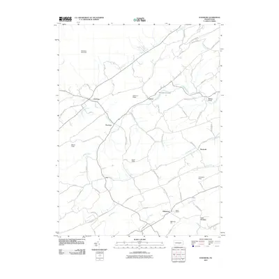 2010 Ickesburg2010 Print · USGSPerry County’s ridge-and-valley landscape is documented here in the early twenty-first century, showing a network of small villages and ancestral lands. Researchers can locate family sites and local landmarks near Ickesburg, Eshcol Memorial Cemetery, and the settlement of Little Germany.
 - 2010 Map of Newport, 2010 Print
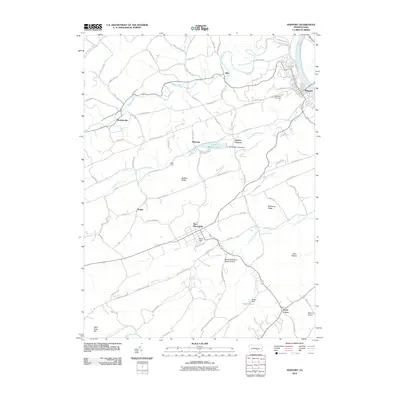 2010 Newport2010 Print · USGSPerry County's ridge-and-valley landscape is documented here during the early twenty-first century as the river towns and rural uplands evolved. Genealogists can trace family sites near Newport Cemetery, Juniata Furnace, and small settlements like Wahneta or Markelsville.
 - 2010 Map of Duncannon, 2010 Print
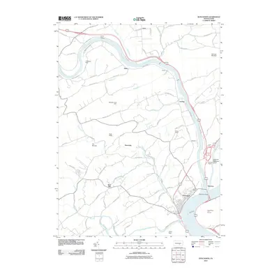 2010 Duncannon2010 Print · USGSDuncannon and the surrounding river valleys are captured here in the early twenty-first century, showing the meeting of the Susquehanna and Juniata rivers. Local historians can trace established routes to Potters School, locate the Mosquito Creek Dam, or study the river crossings at Clarks Ferry Bridge.
 - 2013 Map of Newport, 2013 Print
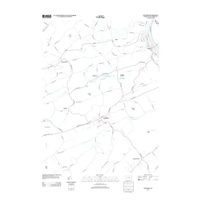 2013 Newport2013 Print · USGSThe valleys and ridges of Perry County are captured here in the early twenty-first century, showing the enduring layouts of Newport and New Bloomfield. Genealogists and historians can trace local landmarks like Juniata Furnace, Markelsville, and Negley Pond.
 - 2013 Map of Duncannon, 2013 Print
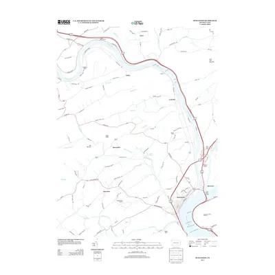 2013 Duncannon2013 Print · USGSThe confluence of the Susquehanna and Juniata Rivers defines this area of Perry County as a major historical crossroads. You can trace the development of river-fronting towns and rural landmarks, from the streets of Duncannon to Potters School and the Aqueduct at Losh Run.
 - 2013 Map of Ickesburg, 2013 Print
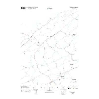 2013 Ickesburg2013 Print · USGSThe rural valleys of Perry County are shown in detail as they appeared in the early 21st century. Researchers can trace historical routes like the Tuscarora Path and Buffalo Trce through hamlets like Ickesburg, Eshcol, and Little Germany.
 - 2016 Map of Newport, 2016 Print
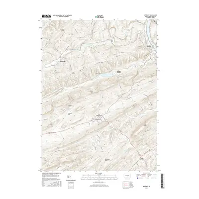 2016 Newport2016 Print · USGSPerry County’s ridgelines and river valleys are captured here in the mid-2010s, centered on the historic seats of New Bloomfield and Newport. Researchers can trace old family sites and industrial landmarks like Juniata Furnace, Meeks Corner, and the Newport Cem.
 - 2016 Map of Ickesburg, 2016 Print
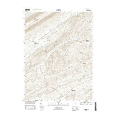 2016 Ickesburg2016 Print · USGSPerry County's ridge-and-valley terrain is captured here in the mid-2010s, showing the enduring rural layout of Saville Township. Genealogists and local historians can locate early settlements like Ickesburg, Eshcol, and the Eshcol Memorial Cem.
 - 2016 Map of Duncannon, 2016 Print
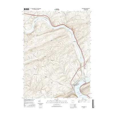 2016 Duncannon2016 Print · USGSDuncannon and the surrounding river valleys are captured here in the mid-2010s at the junction of two major Pennsylvania waterways. Researchers can trace the landscape from the riverfront at Benvenue to upland locales like Montebello, Rose Glen, and the Chestnut Hill Airport.
 - 2019 Map of Duncannon, 2019 Print
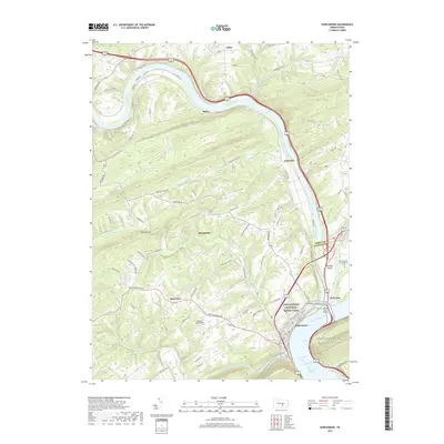 2019 Duncannon2019 Print · USGSDuncannon and the surrounding ridges are mapped here as they appeared in 2019, where the great river junctions define the landscape. Trace the Appalachian National Scenic Trail over Clarks Ferry Bridge or locate local landmarks like Chestnut Hill Airport and Garman Cem on Haldeman Island.
 - 2019 Map of Newport, 2019 Print
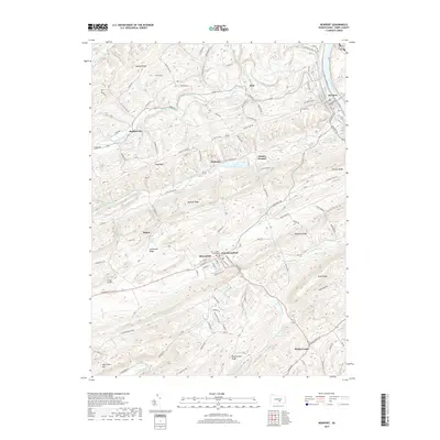 2019 Newport2019 Print · USGSPerry County in 2019 remains a landscape of historic county seats and river towns tucked between prominent ridgelines. Genealogists and local historians can trace the streets of New Bloomfield, locate the Newport Cem, and find industrial landmarks like Juniata Furnace.
Showing maps 1-25 of 29
Top cities near Centre Township
- Carlisle historical maps
- Lower Allen historical maps
- Middlesex Township historical maps
- Schlusser historical maps
- Decatur Township historical maps
- Saville Township historical maps
See more
Top neighborhoods of Centre Township
Frequently asked questions
- What are the different types of historical maps available for Centre Township?
- What is the oldest map of Centre Township?
- Where can I purchase historical maps of Centre Township for my home or office?
- Where can I download high-res historical maps of Centre Township?
- Are there historical topographic maps available for Centre Township?
- Is there historical aerial imagery available for Centre Township?
- Where are historical maps of Centre Township sourced from?