1940s Maps of Schuylkill County, Pennsylvania
Explore 27 historic maps of Schuylkill County from the 1940s. These maps offer a rare glimpse into what life looked like during the 1940s — showing old roads, neighborhoods, homes, and landmarks that have changed or disappeared over time.
Whether you're researching your family's past, planning a metal detecting trip, or studying how Schuylkill County's landscape evolved across the 1940s, these high-resolution maps are a powerful tool for exploring the history of this region.
- Focus on a specific era: All maps on this page are from the 1940s, giving you a focused view of this time period.
- See what’s changed: Compare century-old streets, trails, and buildings to today's modern landscape using overlays and satellite layers.
- Research with precision: Use these maps for genealogy, historical research, land use analysis, or educational projects.
- View, download, or print: Maps are fully viewable online in high resolution, and can be downloaded or printed for your own records.
Start exploring Schuylkill County's history through authentic maps from the 1940s. This is your window into the past.
Schuylkill County, PA maps
(27)- 1943 Map of Lebanon
 1943 Lebanon1943 Print · USGSMid-century Pennsylvania life is captured here during the Second World War, showing the expansion of the Lebanon Valley rail and road networks. Genealogists can locate family landmarks such as the Heidelberg Meeting House, Kimmerlings Ch, and numerous rural schools like Monroe Valley Sch.2 unique versions available
 - 1943 Map of Lykens
 1943 Lykens1943 Print · USGSDauphin and Schuylkill counties are shown in the 1940s as a high-density corridor of anthracite coal production and valley farming. Genealogists and industrial historians can trace the Reading rail lines connecting Williamstown to an Abandoned Colliery and rural landmarks like Himmels Ch.
 - 1944 Map of Pottsville
 1944 Pottsville1944 Print · USGSThe anthracite region of Pennsylvania shows its industrial density during the 1940s, with coal-dependent settlements lining the mountain valleys. Genealogists and historians can trace the rail networks of the Reading and Lehigh lines through Pottsville, St Clair, and East Mines.10 unique versions available
 - 1944 Map of Orwigsburg, 1958 Print
 1944 Orwigsburg1958 Print · USGSSchuylkill County during the mid-forties reveals a landscape split between coal-valley industry and fertile lowland farming. Genealogists can locate family-named landmarks like Breiner Sch or trace the early postal routes through New Philadelphia Silver Creek P O.6 unique versions available
 - 1944 Map of Newark, 1971 Print
 1944 Newark1971 Print · USGSThe industrial corridor from Philadelphia to New York was in a period of massive transition during the mid-forties. Genealogists and researchers can trace the rail lines of the Lehigh Valley RR, locate military installations like Picatinny Arsenal, and explore the early sprawl near Levittown.5 unique versions available
 - 1945 Map of Friedensburg, 1958 Print
 1945 Friedensburg1958 Print · USGSSchuylkill County at the end of the war is a landscape of valley townships and ridge-top trails. Genealogists can trace a dense network of rural schools and villages like Friedensburg, Summit Station, and Brommerstown, alongside the early route of the Appalachian Trail.7 unique versions available
 - 1945 Map of Auburn, 1958 Print
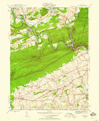 1945 Auburn1958 Print · USGSMid-century Berks and Schuylkill counties are defined here by the industrial corridor of the Schuylkill River and the high ridge of Blue Mountain. Trace ancestral roots at St Michaels Ch or locate vanished local schools like Jefferson Sch and Mangel Sch.6 unique versions available
 - 1946 Map of Pine Grove
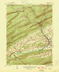 1946 Pine Grove1946 Print · USGSSchuylkill County in the mid-1940s is a landscape of tight mountain ridges and busy rail corridors serving coal-country towns. Genealogists and researchers can trace local landmarks like Jacobs Ch, the Swatara Valley Airport, and the Reading railroad spurs through Suedberg and Lorberry.2 unique versions available
 - 1946 Map of Auburn
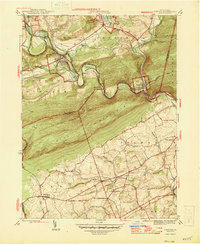 1946 Auburn1946 Print · USGSSchuylkill and Berks counties met at the river gap during the mid-forties, where heavy rail and the mountain ridge defined local life. Genealogists can locate family-named schools like Mangel Sch and Jefferson Sch or trace the Appalachian Trail past Port Clinton.2 unique versions available
 - 1946 Map of Friedensburg
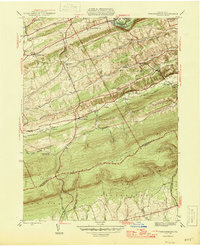 1946 Friedensburg1946 Print · USGSSchuylkill and Berks counties appear here shortly after the war, showing the mountain ridges and valley towns of the mid-1940s. Trace local family history at Friedensburg, old rural schools like Panther Valley Sch, or the path of the Appalachian Trail.2 unique versions available
 - 1946 Map of Swatara Hill
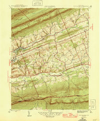 1946 Swatara Hill1946 Print · USGSSchuylkill and Berks counties are shown in the 1940s as a landscape of ridge-and-valley farming and early mountain recreation. Genealogists can locate family landmarks like Manbeck Cem or tracing historic schoolhouses such as Kershner Sch and Fidler Sch.2 unique versions available
 - 1947 Map of Orwigsburg
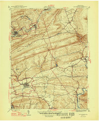 1947 Orwigsburg1947 Print · USGSSchuylkill County in the years following the war shows a landscape shaped by coal-country railroads and river valleys. Researchers can trace the Reading rail lines connecting New Philadelphia Silver Creek P O, Orwigsburg, and local landmarks like Kunkles Dam.2 unique versions available
 - 1947 Map of Ashland
 1947 Ashland1947 Print · USGSAnthracite coal country comes into sharp focus during the mid-1940s as the valley towns of Schuylkill and Columbia counties reach their peak development. Genealogists and researchers can trace the street grids of Ashland, find the Miners Hospital, and locate Centralia years before its famous underground fires.3 unique versions available
 - 1947 Map of Klingerstown
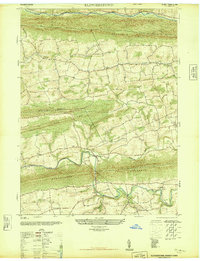 1947 Klingerstown1947 Print · USGSThe rural borderlands of Northumberland and Schuylkill counties are captured here just after the war. Genealogists can trace family names through landmarks like St Peters-Himmels Church, the Kissingers School, and the village of Rough and Ready.2 unique versions available
 - 1947 Map of Mt. Carmel
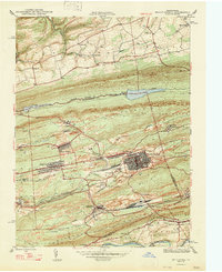 1947 Mt. Carmel1947 Print · USGSThe Pennsylvania coal region is shown here at its post-war industrial peak, bounded by the ridges of Big Mountain and Locust Mountain. Genealogists and historians can trace the intricate rail networks and compact neighborhoods of Mount Carmel, Kulpmont, and Locust Summit.2 unique versions available
 - 1947 Map of Lykens
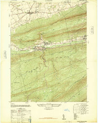 1947 Lykens1947 Print · USGSDauphin County’s northern coal valleys are captured here in the late 1940s, showing the industrial pulse of the region between massive mountain ridges. Researchers can trace the rail spurs of the Reading line and locate landmarks like the Anthracite Plant, Salladas School, and the County Fair Grounds.3 unique versions available
 - 1947 Map of Tower City
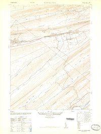 1947 Tower City1947 Print · USGSThe anthracite coal valleys of Schuylkill and Dauphin Counties are captured here in the late 1940s. Genealogists and historians can trace family locations in Tower City and Williamstown, or locate landmarks like the Porter Township High School and the Union Church.3 unique versions available
 - 1947 Map of Valley View
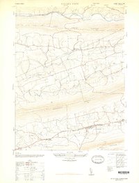 1947 Valley View1947 Print · USGSSchuylkill County communities are captured here in the late 1940s, nestled in the long valleys between the steep ridges of the Appalachians. Family historians can locate family landmarks such as Hepler, the Pitman School, and St Pauls Union Church.3 unique versions available
 - 1947 Map of Minersville
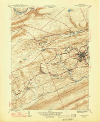 1947 Minersville1947 Print · USGSAnthracite coal mining and rail infrastructure define this mid-century look at the Schuylkill County landscape. Genealogists and historians can trace the detailed street grids of Minersville and find smaller coal settlements like Heckscherville, New Mines, and Coal Castle.2 unique versions available
 - 1947 Map of Tremont
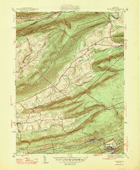 1947 Tremont1947 Print · USGSSchuylkill County is shown here in the late 1940s, where rail lines and mountain ridges dictate the flow of local life. Researchers can trace the Reading railroad corridor through Tremont or locate rural landmarks like Salem Ch and Beury Lake.2 unique versions available
 - 1947 Map of Hazleton, 1962 Print
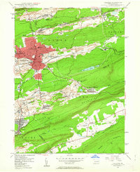 1947 Hazleton1962 Print · USGSThe Pennsylvania coal fields and the industrial hubs of Luzerne County are captured here just after the war. Researchers can trace the rail-and-mine landscape of Ashmore Yards, Lattimer Mines, and the borough of McAdoo.5 unique versions available
 - 1947 Map of Tamaqua, 1964 Print
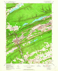 1947 Tamaqua1964 Print · USGSThe Panther Valley coal region is captured here at a mid-century peak of industrial activity. Researchers can trace the extensive rail networks at Arlington Yards or locate local landmarks like Odd Fellows Cem and Owl Creek Sch.5 unique versions available
 - 1948 Map of Shumans
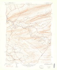 1948 Shumans1948 Print · USGSColumbia County in the late 1940s is defined by its deep creek valleys and the Reading railroad lines that connected its rural hamlets. Researchers can locate vanished landmarks like the Beaver Sch and trace family roots in settlements like Shumans and Kulp.2 unique versions available
 - 1948 Map of Nesquehoning, 1958 Print
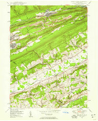 1948 Nesquehoning1958 Print · USGSMid-century Carbon County reveals a landscape shaped by anthracite mining and valley farming just after the war. Local historians can trace the rail networks at Nesquehoning Junction or locate vanished rural landmarks like Hoppers Mill and East Penn Airport.7 unique versions available
 - 1949 Map of Newark
 1949 Newark1949 Print · USGSThe industrial corridor between Philadelphia and New York comes alive in this post-war survey. Genealogists and historians can trace the massive rail networks of the Reading Railroad and locate major installations like Fort Dix or Picatinny Arsenal.2 unique versions available
Showing maps 1-25 of 27
Top cities of Schuylkill County
- Pottsville historical maps
- Tamaqua historical maps
- Shenandoah historical maps
- Schuylkill Haven historical maps
- Mahanoy City historical maps
- Minersville historical maps
See more
Frequently asked questions
- What are the different types of historical maps available for Schuylkill County?
- What is the oldest map of Schuylkill County?
- Where can I purchase historical maps of Schuylkill County for my home or office?
- Where can I download high-res historical maps of Schuylkill County?
- Are there historical topographic maps available for Schuylkill County?
- Is there historical aerial imagery available for Schuylkill County?
- Where are historical maps of Schuylkill County sourced from?