2010s Maps of Schuylkill County, Pennsylvania
Explore 104 historic maps of Schuylkill County from the 2010s. These maps offer a rare glimpse into what life looked like during the 2010s — showing old roads, neighborhoods, homes, and landmarks that have changed or disappeared over time.
Whether you're researching your family's past, planning a metal detecting trip, or studying how Schuylkill County's landscape evolved across the 2010s, these high-resolution maps are a powerful tool for exploring the history of this region.
- Focus on a specific era: All maps on this page are from the 2010s, giving you a focused view of this time period.
- See what’s changed: Compare century-old streets, trails, and buildings to today's modern landscape using overlays and satellite layers.
- Research with precision: Use these maps for genealogy, historical research, land use analysis, or educational projects.
- View, download, or print: Maps are fully viewable online in high resolution, and can be downloaded or printed for your own records.
Start exploring Schuylkill County's history through authentic maps from the 2010s. This is your window into the past.
Schuylkill County, PA maps
(104)- 2010 Map of Klingerstown, 2010 Print
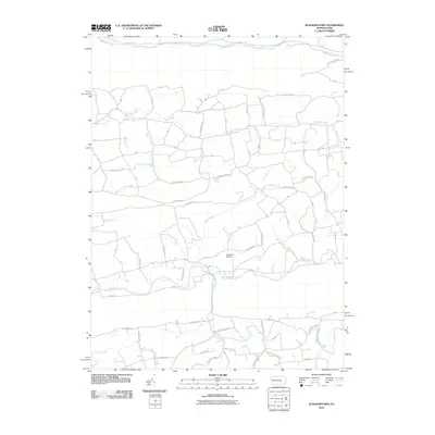 2010 Klingerstown2010 Print · USGSNorthumberland County in the early twenty-first century reveals a landscape of deep valleys and winding rural roads. Genealogists and local historians can trace the paths of Mahantango Creek and Schwaben Creek past Schadels Airport.
 - 2010 Map of Lykens, 2010 Print
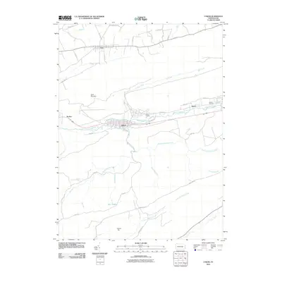 2010 Lykens2010 Print · USGSHegins Township and the surrounding valleys are shown at the start of the 2010s, illustrating the relationship between deep-cut ridges and historic boroughs. Genealogists and researchers can trace family landmarks and local burials at Calvary Cemetery or follow the path of Wiconisco Creek through Lykens and Dayton.
 - 2010 Map of Swatara Hill, 2010 Print
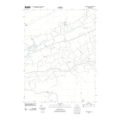 2010 Swatara Hill2010 Print · USGSIn the early twenty-first century, this area of Bethel Township preserves its rural character through established settlements and large wooded tracts. Genealogists and researchers can locate family sites such as Manbeck Cemetery and trace landmarks like Rock and Swatara Hill.
 - 2010 Map of Ashland, 2010 Print
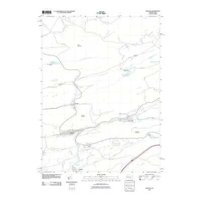 2010 Ashland2010 Print · USGSThe anthracite coal region of Schuylkill County is documented here at the start of the millennium. Researchers can trace the street grids of Centralia and Ashland or locate local landmarks like the Hetherington Cemetery and Centralia Fire Tower.
 - 2010 Map of Orwigsburg, 2010 Print
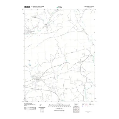 2010 Orwigsburg2010 Print · USGSSchuylkill County at the start of the 2010s shows a landscape of mountain ridges and river-valley settlements. Genealogists and historians can trace the footprint of New Philadelphia, locate Neon Airport, and study the drainage of Tumbling Run near Middleport.
 - 2010 Map of Minersville, 2010 Print
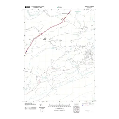 2010 Minersville2010 Print · USGSThe anthracite region's rugged geography and industrial water systems are captured here in the early twenty-first century. Researchers can trace the legacy of coal country through landmarks like Mine Hill and the many numbered dams serving Minersville.
 - 2010 Map of Shumans, 2010 Print
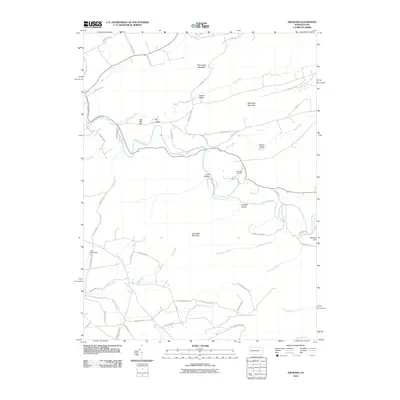 2010 Shumans2010 Print · USGSColumbia County’s ridge-and-valley terrain is captured here in the early twenty-first century, showing the rural road network and steep wooded slopes. Genealogists and hikers can locate Michaels Cemetery or trace paths near Catawissa Mountain and Full Mill Hill.
 - 2010 Map of Pine Grove, 2010 Print
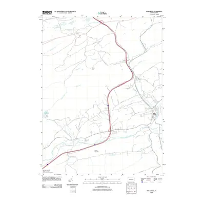 2010 Pine Grove2010 Print · USGSPine Grove and the surrounding Pennsylvania ridges are captured here in the early twenty-first century, highlighting a landscape where mountain wilderness meets managed water. Genealogists and hikers can trace the Appalachian Trl past Swope Mountain or locate family sites near Dorans and Hollernan Cemetery.
 - 2010 Map of Tremont, 2010 Print
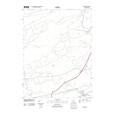 2010 Tremont2010 Print · USGSThe borough of Tremont and the surrounding ridges of Schuylkill County are captured here during the first decade of the millennium. Researchers can trace the watercourses and mountain gaps that shaped local development, from Little Mountain to the shores of Beury Lake and Dell Lake.
 - 2010 Map of Nuremberg, 2010 Print
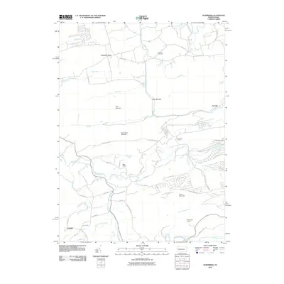 2010 Nuremberg2010 Print · USGSThe ridges and valleys of Columbia County are captured here during the early twenty-first century, showing a mix of rural settlements and modern recreation. Researchers can trace the grounds of Nuremberg Cemetery or locate landmarks like McDonalds Airport and Tomhicken Falls.
 - 2010 Map of Mount Carmel, 2010 Print
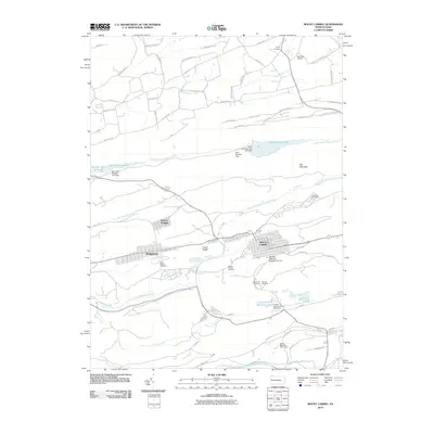 2010 Mount Carmel2010 Print · USGSThe anthracite coal region of central Pennsylvania is shown here in the early twenty-first century, centered on the dense grid of Mount Carmel. Researchers can locate numerous historic burial sites including Saint Marys Cemetery and trace local infrastructure like the Wilburton Post Office.
 - 2010 Map of Fredericksburg, 2010 Print
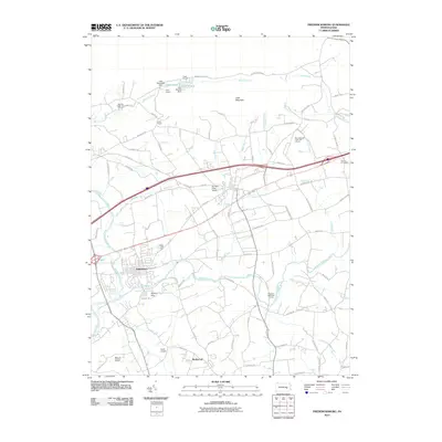 2010 Fredericksburg2010 Print · USGSThe Swatara Creek valley comes into focus during this 2010 survey, showcasing the enduring rural character and recreational growth of the region. Researchers can trace the layout of Jonestown, locate the Hamlin Cemetery, and explore the camps near Lake Strause.
 - 2010 Map of Friedensburg, 2010 Print
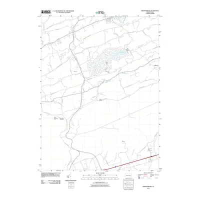 2010 Friedensburg2010 Print · USGSBerks County's valley floor and ridge lines are meticulously captured here in the early 21st century. Researchers can locate the historic site of Fort Northkill and trace the paths of Lower Little Swatara Creek and Red Creek.
 - 2010 Map of Pottsville, 2010 Print
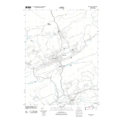 2010 Pottsville2010 Print · USGSSchuylkill County at the start of the 2010s shows the enduring layout of the Pennsylvania coal region. Genealogists and local researchers can trace family roots through the dense streets of Pottsville, Saint Clair, and the riverfront neighborhoods of Palo Alto.
 - 2010 Map of Valley View, 2010 Print
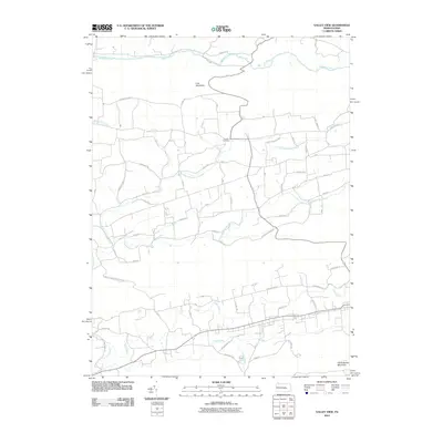 2010 Valley View2010 Print · USGSSchuylkill County in the early twenty-first century remains a landscape shaped by its steep ridges and narrow creek valleys. Researchers can trace family history at Jacobs Cemetery or follow the paths of Pine Creek and Mahanoy Creek through the gap.
 - 2010 Map of Hazleton, 2010 Print
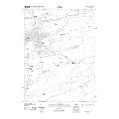 2010 Hazleton2010 Print · USGSGreater Hazleton and the surrounding coal patches are shown here in the early twenty-first century as the industrial landscape evolved. Genealogists can locate family sites in Lattimer, Tresckow, or Beaver Meadows, and trace the rail history at Ashmore Yards.
 - 2010 Map of Tamaqua, 2010 Print
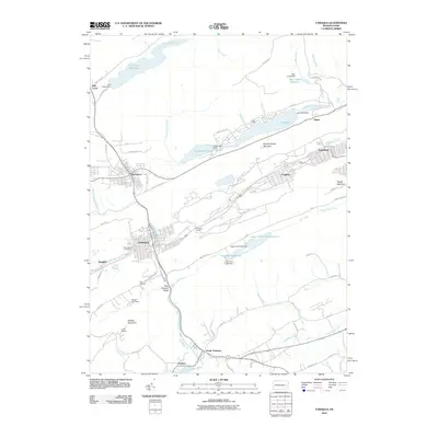 2010 Tamaqua2010 Print · USGSSchuylkill County in the early twenty-first century reveals a landscape defined by industrial heritage and ridge-and-valley terrain. Genealogists and historians can trace the streets of TAMAQUA, locate the Odd Fellows Cemetery, and explore the rail infrastructure of Arlington Yards.
 - 2010 Map of Nesquehoning, 2010 Print
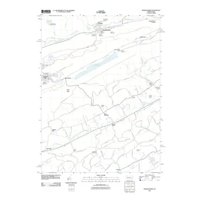 2010 Nesquehoning2010 Print · USGSSchuylkill and Carbon County terrain is mapped here in detail during the early 21st century. Genealogists and local historians can locate smaller settlements like Normal Square and Mertz Town or trace the drainage of Mahoning Creek and Lizard Creek.
 - 2010 Map of New Tripoli, 2010 Print
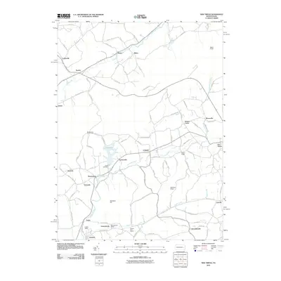 2010 New Tripoli2010 Print · USGSNorthern Lehigh County is documented here in the early twenty-first century, showing the rural character of its valley settlements. Researchers can trace family-named locations like Mantz, Millers, and Fetherolfsville along the Ontelaunee Creek.
 - 2010 Map of Shenandoah, 2010 Print
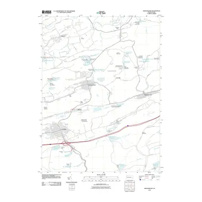 2010 Shenandoah2010 Print · USGSThe heart of Pennsylvania's coal country is captured here during the first decade of the millennium, showing the dense borough layouts of Shenandoah and Mahanoy City. Trace local history at the Shaft Post Office or follow the intricate network of water works like Brandonville Reservoir.
 - 2010 Map of Auburn, 2010 Print
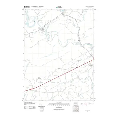 2010 Auburn2010 Print · USGSSchuylkill County and Berks County landscapes are defined by the river’s path and the ridges of the Blue Mountain range in the early twenty-first century. Researchers can trace local landmarks like Port Clinton, the Auburn Dam, and the Windswept Aerodrome.
 - 2010 Map of Conyngham, 2010 Print
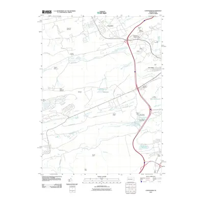 2010 Conyngham2010 Print · USGSLuzerne County at the turn of the decade reveals a landscape where mountain ridges meet industrial legacy and academic growth. Trace family history and local industry through features like Tomhicken Shaft Number Four, the Harwood Mines Post Office, and Council Crest.
 - 2010 Map of New Ringgold, 2010 Print
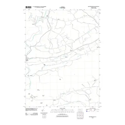 2010 New Ringgold2010 Print · USGSSchuylkill County in the early twenty-first century remains a landscape of high ridges and rural valley settlements. Genealogists and local historians can trace family-named landmarks like Rauschs and Quaker City or locate the New Bethel Union Cemetery.
 - 2010 Map of Tower City, 2010 Print
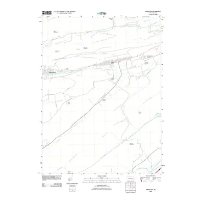 2010 Tower City2010 Print · USGSSchuylkill and Dauphin counties appear at a modern crossroads in the early twenty-first century, showing the valley towns between the coal ridges. Researchers can locate family sites at Sacred Heart Cemetery or trace the drainage of Clark Creek and Wiconisco Creek.
 - 2010 Map of Hamburg, 2010 Print
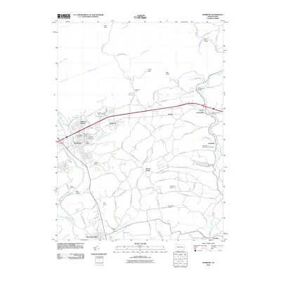 2010 Hamburg2010 Print · USGSBerks County's industrial and agricultural roots are on display in this 2010 study of the Schuylkill River valley. Trace local heritage through landmarks like the Dreibelbis Station Covered Bridge, the Dreibelbis Mill, and the historic Five Locks.
Showing maps 1-25 of 104
Top cities of Schuylkill County
- Pottsville historical maps
- Tamaqua historical maps
- Shenandoah historical maps
- Schuylkill Haven historical maps
- Mahanoy City historical maps
- Minersville historical maps
See more
Frequently asked questions
- What are the different types of historical maps available for Schuylkill County?
- What is the oldest map of Schuylkill County?
- Where can I purchase historical maps of Schuylkill County for my home or office?
- Where can I download high-res historical maps of Schuylkill County?
- Are there historical topographic maps available for Schuylkill County?
- Is there historical aerial imagery available for Schuylkill County?
- Where are historical maps of Schuylkill County sourced from?