Old Maps of Middlebury Township, Pennsylvania for Hiking & Exploration
Hike through history with 37 historic maps of Middlebury Township. Explore old trails, ghost towns, and forgotten backroads — perfect for outdoor adventurers and local explorers.
- Rediscover forgotten places: Map out old mining camps, roads, and footpaths that no longer exist on modern maps.
- Layer with modern tools: Combine with LiDAR or satellite views to plan hikes through historical terrain.
- Made for exploration: Popular among hikers, overlanders, and local history lovers.
Use these maps to find adventure and explore the hidden past of Middlebury Township.
Middlebury Township, PA maps
(37)- 1900 Map of Tioga
 1900 Tioga1900 Print · USGSTioga County at the turn of the century shows a landscape defined by the busy river corridors and the arrival of major rail networks. Researchers can trace the early footprints of Lawrenceville, Mansfield, and Tioga, or locate rural landmarks like Jackson Summit and Canoe Camp.
 - 1900 Map of Elkland
 1900 Elkland1900 Print · USGSTioga County at the turn of the century is defined by its deep river valleys and the expanding rail networks of the Cowanesque River. Genealogists and local historians can trace the early footprints of Knoxville, Academy Corners, and the rail junction at Stokesdale Junc.5 unique versions available
 - 1902 Map of Tioga
 1902 Tioga1902 Print · USGSNorthern Tioga County at the turn of the century shows a landscape dominated by the convergence of major rail lines and river valleys. Genealogists can trace family roots in riverside settlements like Canoe Camp or explore vanished rail stops like Tompkins and Hammond.5 unique versions available
 - 1954 Map of Williamsport
 1954 Williamsport1954 Print · USGSNorth-central Pennsylvania in the mid-fifties is defined by the winding West Branch Susquehanna River and its industrial valley. Local historians can trace the massive Susquehanna Ordnance Depot and the extensive rail networks of the Pennsylvania Railroad.
 - 1954 Map of Elkland, 1956 Print
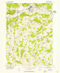 1954 Elkland1956 Print · USGSThe Cowanesque River valley thrived in the mid-1950s as a vital transportation and industrial corridor along the New York state line. Genealogists and historians can locate family landmarks like Karls Corners and numerous rural cemeteries including McCollum Cem and Taylor Cem.4 unique versions available
 - 1954 Map of Tioga, 1956 Print
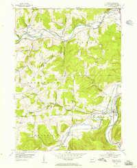 1954 Tioga1956 Print · USGSTioga County's river valleys thrive in the mid-1950s as vital transport corridors for the New York Central Line and Erie RR. Local historians can trace the foundations of Lawrenceville and Tioga, or locate rural landmarks like Tompkins Ch and the Dailey Cem.4 unique versions available
 - 1954 Map of Kenneyville, 1956 Print
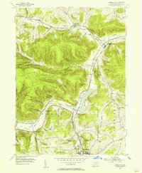 1954 Kenneyville1956 Print · USGSTioga County's deep valleys and timbered ridges are captured here in the mid-fifties, just as the rural economy balanced rail-side industry with mountain recreation. Genealogists and hikers can trace old routes like the Bark Slide Trail or locate the Marsh Creek Sch and Middlebury Union Cem.3 unique versions available
 - 1954 Map of Crooked Creek, 1956 Print
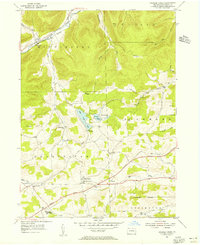 1954 Crooked Creek1956 Print · USGSTioga County in the mid-fifties shows a landscape of small settlements and mountain ridges before major modern developments. Genealogists can trace family locations at Dartt Settlement or locate Bullock Cem and the Charleston Consolidated Sch.6 unique versions available
 - 1960 Map of Williamsport
 1960 Williamsport1960 Print · USGSNorth-central Pennsylvania in the mid-twentieth century was a vital corridor of rail and river industry stretching from the New York line to the coal regions. Genealogists can trace the rail networks of the Pennsylvania RR and Lehigh Valley RR connecting towns like Williamsport, Towanda, and Lock Haven.
 - 1962 Map of Williamsport, 1966 Print
 1962 Williamsport1966 Print · USGSNorth-central Pennsylvania was a landscape of industrial river hubs and vast state woodlands in the early sixties. Researchers can trace the path of the Pennsylvania Railroad through Williamsport and explore the remote reaches of Bucktail State Park.5 unique versions available
 - 1965 Map of Williamsport
 1965 Williamsport1965 Print · USGSNorth-central Pennsylvania in the mid-1960s is defined by the industrial river towns and vast timberlands of the Allegheny Plateau. Researchers can trace historic rail lines like the Erie Lackawanna and Reading as they thread through Williamsport, Lock Haven, and Jersey Shore.
 - 1966 Map of Williamsport
 1966 Williamsport1966 Print · USGSThe Susquehanna Valley was a hub of transit and industry in the mid-seventies, where the river's West Branch connected major college towns and timberlands. Researchers can trace historical rail lines like the Reading or locate regional landmarks from Jersey Shore to Ricketts Glen State Park.
 - 1969 Map of Tioga, 1971 Print
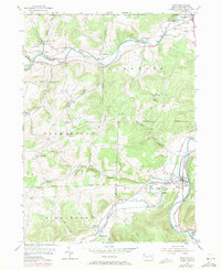 1969 Tioga1971 Print · USGSTioga County, Pennsylvania, is captured here in the late sixties as the river-and-rail economy shaped the borderlands near New York. Genealogists and local historians can trace family plots at Nelson Cem and Tioga Cem, or locate the old Tompkins Ch.
 - 1981 Map of Wellsboro, 1982 Print
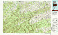 1981 Wellsboro1982 Print · USGSNorthern Pennsylvania in the early eighties shows a landscape of deep river gorges and vast state forests. Trace the rail lines of Conrail and explore old settlements from Coudersport to the Pine Creek Gorge.
 - 1994 Map of Keeneyville, 1998 Print
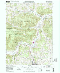 1994 Keeneyville1998 Print · USGSTioga County life in the late twentieth century is documented here along the winding valleys of Crooked Creek and Marsh Creek. Researchers can trace the legacy of small communities and rural institutions like the Catlin Hollow Ch and Niles Valley Cem.
 - 1994 Map of Crooked Creek, 1999 Print
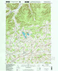 1994 Crooked Creek1999 Print · USGSTioga County's rural valleys and northern highlands are captured here in the late twentieth century, showing a landscape defined by state parks and small crossroads. Researchers can locate community anchors like Whitneyville, the Hills Creek Ch, and the Dartt Settlement Cem.
 - 1999 Map of Elkland, 2001 Print
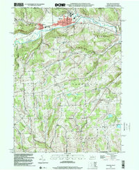 1999 Elkland2001 Print · USGSThe Cowanesque River valley at the New York border is shown here at the close of the twentieth century. Researchers can trace family roots through numerous highland burial grounds like Taylor Cem and rural centers such as Karls Corners and Farmington Ch.
 - 2010 Map of Elkland, 2010 Print
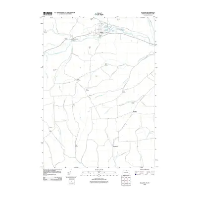 2010 Elkland2010 Print · USGSTioga County’s northern river valleys are captured here in the early 2000s, showing the established communities of the Pennsylvania-New York border. Genealogists and local historians can trace family land near several burial sites, including Fairview Cemetery and Mourey Cemetery, or locate rural crossroads like Odle Corners.
 - 2010 Map of Keeneyville, 2010 Print
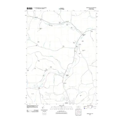 2010 Keeneyville2010 Print · USGSTioga County valley life is captured here in the early twenty-first century, showing the small hamlets along Marsh Creek and Crooked Creek. Trace family roots through local landmarks like Middlebury Union Cemetery, Niles Valley, and the former site at Schoolhouse Hollow.
 - 2010 Map of Crooked Creek, 2010 Print
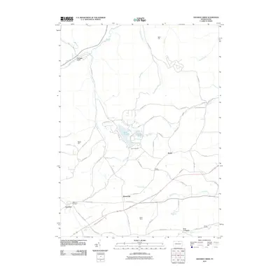 2010 Crooked Creek2010 Print · USGSTioga County's rural landscape is documented here in the early twenty-first century, featuring the recreational waters of Hills Creek Lake. Genealogists can locate several family-named landmarks and burial sites, including Bullock Cemetery, Whitneyville, and Elk Run Cemetery.
 - 2010 Map of Tioga, 2010 Print
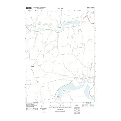 2010 Tioga2010 Print · USGSThe Tioga River valley and its massive flood control reservoirs define this 2010 landscape. Genealogists and local historians can trace family locations near Lawrenceville Cemetery, the settlement of Nelson, or the small aviation hubs H and H Airport and Hughes Airport.
 - 2013 Map of Elkland, 2013 Print
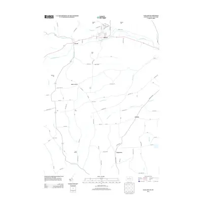 2013 Elkland2013 Print · USGSTioga County life along the New York border is detailed here in the early twenty-first century. Genealogists and local historians can trace the valley settlements of Elkland and Osceola or locate rural landmarks like Baker Airport and Odle Corners.
 - 2013 Map of Crooked Creek, 2013 Print
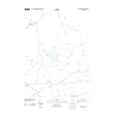 2013 Crooked Creek2013 Print · USGSTioga County's upland landscape is captured here in the early twenty-first century, centered on the waters of Hills Creek Lake. Local researchers can trace family landmarks and rural settlements like Whitneyville, Mardin, and the valley near Crooked Creek.
 - 2013 Map of Keeneyville, 2013 Print
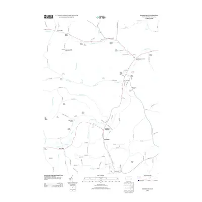 2013 Keeneyville2013 Print · USGSTioga County is shown here in the early twenty-first century, preserving a landscape of deep hollows and valley settlements. Researchers can trace historic family landmarks and local transit points like Wellsboro Junction, Middlebury Airport, and Log Cabin Spring.
 - 2013 Map of Tioga, 2013 Print
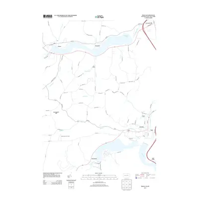 2013 Tioga2013 Print · USGSThe northern Tier of Pennsylvania and the New York border are defined by the convergence of the Tioga and Cowanesque rivers. Researchers can trace rural lineages through local landmarks like Gee Hollow, the settlement of Nelson, and the vicinity of Hammond Lake.
Showing maps 1-25 of 37
Top cities near Middlebury Township
- Mansfield historical maps
- Wellsboro historical maps
- Caton historical maps
- Lindley historical maps
- Elkland historical maps
- Woodhull historical maps
See more
Top neighborhoods of Middlebury Township
- Hammond historical maps
- Keeneyville historical maps
- Niles Valley historical maps
- Shinglebury historical maps
- Crooked Creek historical maps
- Middlebury Center historical maps
Frequently asked questions
- What are the different types of historical maps available for Middlebury Township?
- What is the oldest map of Middlebury Township?
- Where can I purchase historical maps of Middlebury Township for my home or office?
- Where can I download high-res historical maps of Middlebury Township?
- Are there historical topographic maps available for Middlebury Township?
- Is there historical aerial imagery available for Middlebury Township?
- Where are historical maps of Middlebury Township sourced from?