2020s Maps of Washington Township, Pennsylvania
Explore 4 historic maps of Washington Township from the 2020s. These maps offer a rare glimpse into what life looked like during the 2020s — showing old roads, neighborhoods, homes, and landmarks that have changed or disappeared over time.
Whether you're researching your family's past, planning a metal detecting trip, or studying how Washington Township's landscape evolved across the 2020s, these high-resolution maps are a powerful tool for exploring the history of this region.
- Focus on a specific era: All maps on this page are from the 2020s, giving you a focused view of this time period.
- See what’s changed: Compare century-old streets, trails, and buildings to today's modern landscape using overlays and satellite layers.
- Research with precision: Use these maps for genealogy, historical research, land use analysis, or educational projects.
- View, download, or print: Maps are fully viewable online in high resolution, and can be downloaded or printed for your own records.
Start exploring Washington Township's history through authentic maps from the 2020s. This is your window into the past.
Washington Township, PA maps
(4)- 2023 Map of Meshoppen, 2023 Print
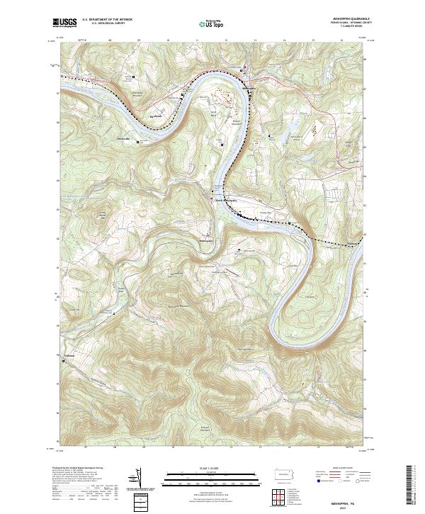 2023 Meshoppen2023 Print · USGSThe northern branch of the Susquehanna River winds through the Endless Mountains during this modern era of Wyoming County history. Researchers can locate numerous family burial sites such as the Solomon Bunnell Family Cem and early landmarks like the Old Baptist Church Cem.
 - 2023 Map of Springville, 2023 Print
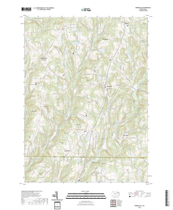 2023 Springville2023 Print · USGSSusquehanna County's agricultural highlands are captured here in the modern era, showing the enduring layout of the region's crossroads and hill-country settlements. Researchers can locate family landmarks like Bunnell Cem and Tyler Hill Cem or trace the winding course of Meshoppen Creek.
 - 2023 Map of Auburn Center, 2023 Print
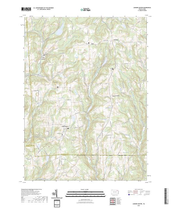 2023 Auburn Center2023 Print · USGSThe rural borderlands of Susquehanna and Wyoming Counties appear in this modern survey of the Auburn highlands. Researchers can trace family history through numerous burial sites like Bolles Cem and the small hamlets of West Auburn and Retta.
 - 2023 Map of Tunkhannock, 2023 Print
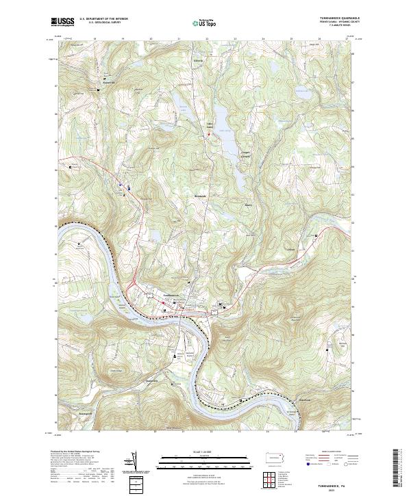 2023 Tunkhannock2023 Print · USGSWyoming County in the early twenty-first century reveals a landscape shaped by the Susquehanna River and its many islands. Researchers can trace local lineage through Gravel Hill Cem, visit the Wyoming County Courthouse, or explore the shores of Lake Carey.
End of results
Showing maps 1-4 of 4
Top cities near Washington Township
- Dallas Township historical maps
- Kingston Township historical maps
- Harveys Lake historical maps
- Bridgewater Township historical maps
- Falls Township historical maps
- Lenox Township historical maps
See more
Top neighborhoods of Washington Township
Frequently asked questions
- What are the different types of historical maps available for Washington Township?
- What is the oldest map of Washington Township?
- Where can I purchase historical maps of Washington Township for my home or office?
- Where can I download high-res historical maps of Washington Township?
- Are there historical topographic maps available for Washington Township?
- Is there historical aerial imagery available for Washington Township?
- Where are historical maps of Washington Township sourced from?