2000s (21st Century) Maps of North Kingstown, Rhode Island
Explore 27 historic maps of North Kingstown from the 2000s (21st Century). These maps offer a rare glimpse into what life looked like during the 2000s — showing old roads, neighborhoods, homes, and landmarks that have changed or disappeared over time.
Whether you're researching your family's past, planning a metal detecting trip, or studying how North Kingstown's landscape evolved across the 2000s, these high-resolution maps are a powerful tool for exploring the history of this region.
- Focus on a specific era: All maps on this page are from the 2000s, giving you a focused view of this time period.
- See what’s changed: Compare century-old streets, trails, and buildings to today's modern landscape using overlays and satellite layers.
- Research with precision: Use these maps for genealogy, historical research, land use analysis, or educational projects.
- View, download, or print: Maps are fully viewable online in high resolution, and can be downloaded or printed for your own records.
Start exploring North Kingstown's history through authentic maps from the 2000s. This is your window into the past.
North Kingstown, RI maps
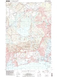
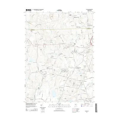
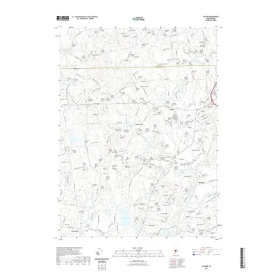
(27)- 2001 Map of Slocum, 2003 Print
 2001 Slocum2003 Print · USGSRhode Island's interior at the dawn of the new millennium reveals a landscape where historic crossroads and modern conservation efforts meet. Researchers can trace the heritage of Exeter and Slocum while locating specific landmarks like the Joseph H Ladd Sch or the Liberty Ch.
 - 2001 Map of Kingston, 2003 Print
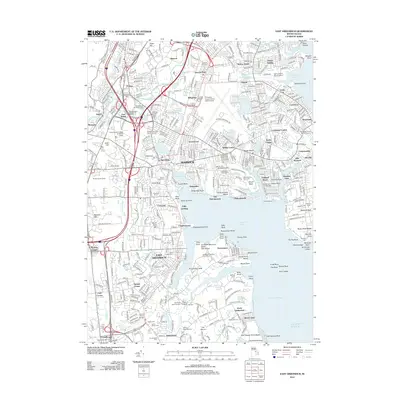
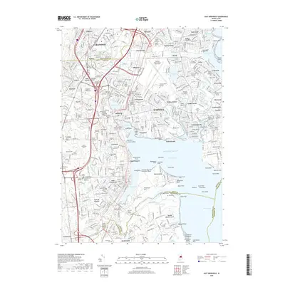
 2001 Kingston2003 Print · USGSCoastal Rhode Island at the turn of the millennium shows a landscape defined by the University of Rhode Island and the sprawling Great Swamp. Researchers can trace the legacy of local hamlets from Tuckertown Four Corners to the seaside piers of Galilee and Jerusalem.
 - 2012 Map of Slocum, 2012 Print
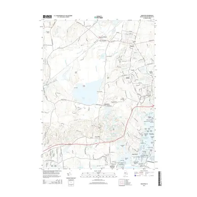
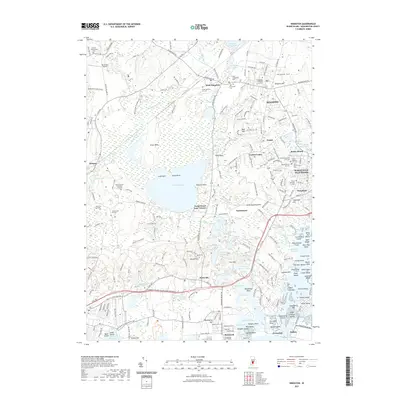
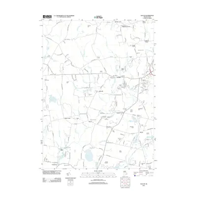 2012 Slocum2012 Print · USGSCovers North Kingstown, including South Kingstown, East Greenwich, and other nearby areas
 - 2012 Map of Narragansett Pier, 2012 Print
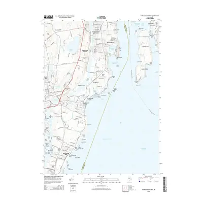
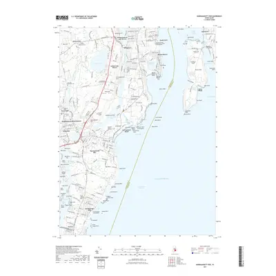
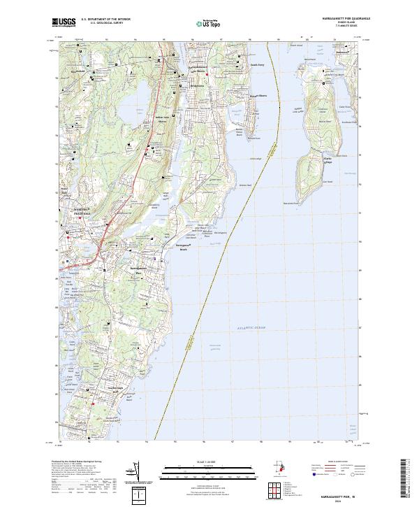
 2012 Narragansett Pier2012 Print · USGSCovers North Kingstown, including South Kingstown, Narragansett, and other nearby areas
 - 2012 Map of Kingston, 2012 Print
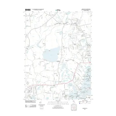 2012 Kingston2012 Print · USGSCovers North Kingstown, including South Kingstown, Narragansett, and other nearby areas
 - 2012 Map of East Greenwich, 2012 Print
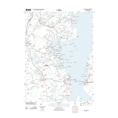
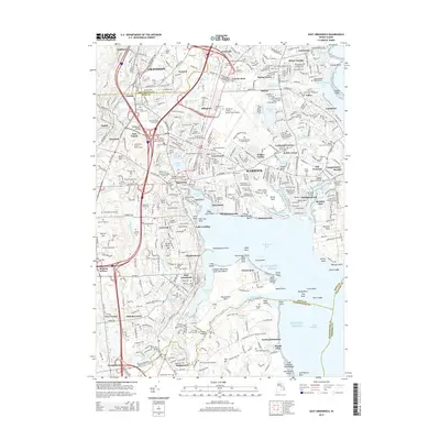
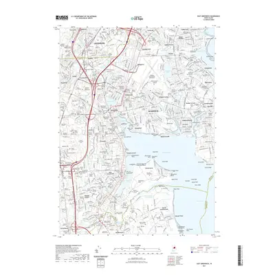
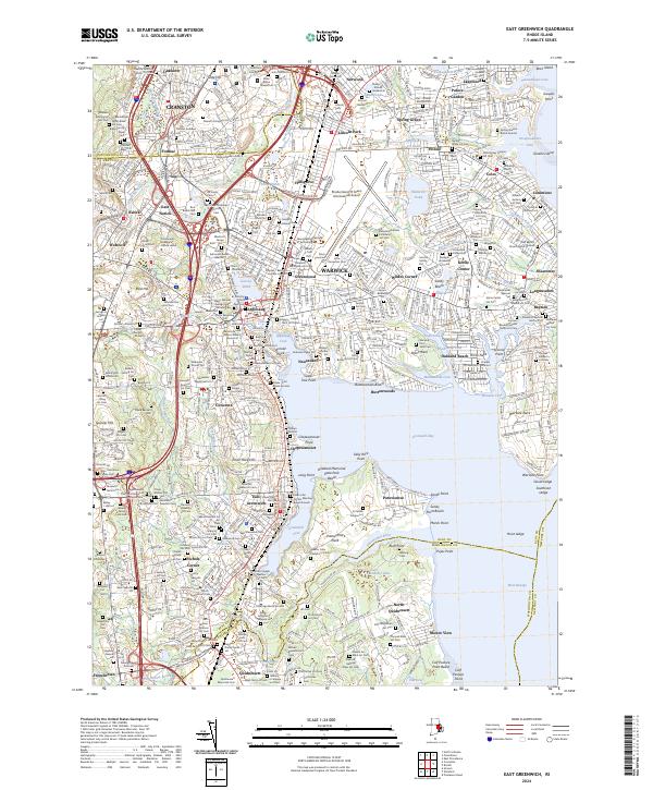
 2012 East Greenwich2012 Print · USGSCovers North Kingstown, including Warwick, Cranston, and other nearby areas
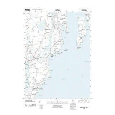
 - 2012 Map of Wickford, 2012 Print
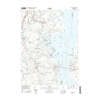
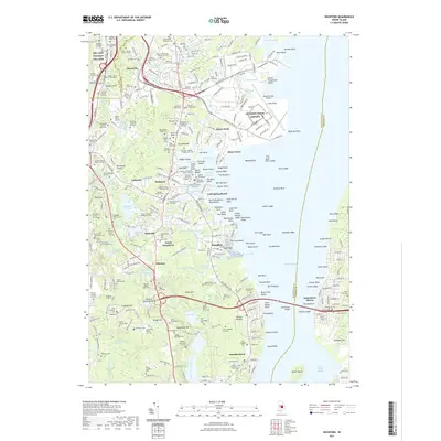
 2012 Wickford2012 Print · USGSCovers North Kingstown, including South Kingstown, Narragansett, and other nearby areas
 - 2015 Map of Slocum, 2015 Print
 2015 Slocum2015 Print · USGSCovers North Kingstown, including South Kingstown, East Greenwich, and other nearby areas
 - 2015 Map of Wickford, 2015 Print
 2015 Wickford2015 Print · USGSCovers North Kingstown, including South Kingstown, Narragansett, and other nearby areas
 - 2015 Map of Narragansett Pier, 2015 Print
 2015 Narragansett Pier2015 Print · USGSCovers North Kingstown, including South Kingstown, Narragansett, and other nearby areas
 - 2015 Map of East Greenwich, 2015 Print
 2015 East Greenwich2015 Print · USGSCovers North Kingstown, including Warwick, Cranston, and other nearby areas
 - 2015 Map of Kingston, 2015 Print
 2015 Kingston2015 Print · USGSCovers North Kingstown, including South Kingstown, Narragansett, and other nearby areas
 - 2018 Map of Narragansett Pier, 2018 Print
 2018 Narragansett Pier2018 Print · USGSCovers North Kingstown, including South Kingstown, Narragansett, and other nearby areas
 - 2018 Map of East Greenwich, 2018 Print
 2018 East Greenwich2018 Print · USGSCovers North Kingstown, including Warwick, Cranston, and other nearby areas
 - 2018 Map of Slocum, 2018 Print
 2018 Slocum2018 Print · USGSCovers North Kingstown, including South Kingstown, East Greenwich, and other nearby areas
 - 2018 Map of Wickford, 2018 Print
 2018 Wickford2018 Print · USGSCovers North Kingstown, including South Kingstown, Narragansett, and other nearby areas
 - 2018 Map of Kingston, 2018 Print
 2018 Kingston2018 Print · USGSCovers North Kingstown, including South Kingstown, Narragansett, and other nearby areas
 - 2021 Map of Narragansett Pier, 2021 Print
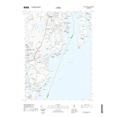
 2021 Narragansett Pier2021 Print · USGSCovers North Kingstown, including South Kingstown, Narragansett, and other nearby areas
 - 2021 Map of East Greenwich, 2021 Print
 2021 East Greenwich2021 Print · USGSCovers North Kingstown, including Warwick, Cranston, and other nearby areas
 - 2021 Map of Wickford, 2021 Print
 2021 Wickford2021 Print · USGSCovers North Kingstown, including South Kingstown, Narragansett, and other nearby areas
 - 2021 Map of Kingston, 2021 Print
 2021 Kingston2021 Print · USGSCovers North Kingstown, including South Kingstown, Narragansett, and other nearby areas
 - 2021 Map of Slocum, 2021 Print
 2021 Slocum2021 Print · USGSCovers North Kingstown, including South Kingstown, East Greenwich, and other nearby areas
 - 2024 Map of Slocum, 2024 Print
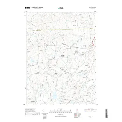
 2024 Slocum2024 Print · USGSRhode Island's rural interior comes alive in this contemporary survey, showing a landscape defined by ancestral family burial plots and the Wood-Pawcatuck corridor. Genealogists can trace family names at the Old Baptist Church Yard Cem, Whitford Plot, and Queens River Baptist Cem.
 - 2024 Map of East Greenwich, 2024 Print
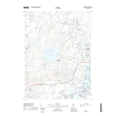
 2024 East Greenwich2024 Print · USGSThe Rhode Island shoreline at Greenwich Bay shows a complex blend of deep family history and major infrastructure. Genealogists can trace dozens of private burial grounds like the Prophet Holden Lot and Wanton Arnold Major William Snow Lot alongside the modern TF Green International Airport.
 - 2024 Map of Narragansett Pier, 2024 Print
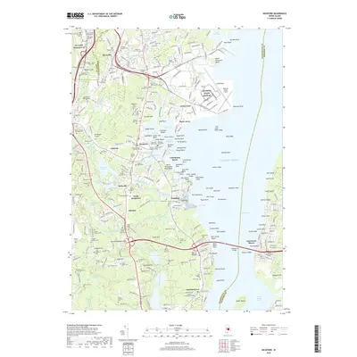
 2024 Narragansett Pier2024 Print · USGSNarragansett and its coastal enclaves are mapped here during a period of modern preservation alongside deep family history. Genealogists can locate dozens of ancestral burial sites such as the Old Sherman Burial Ground and Franklin-Gardiner Cem, while maritime researchers can trace the Intracoastal Waterway and landmarks like the Wakefield Mill.
Showing maps 1-25 of 27
Top cities near North Kingstown
- Providence historical maps
- Warwick historical maps
- Cranston historical maps
- East Providence historical maps
- Coventry historical maps
- West Warwick historical maps
See more
Top neighborhoods of North Kingstown
- Davisville historical maps
- Wickford historical maps
- Saunderstown historical maps
- Slocum historical maps
- Annaquatucket historical maps
- Belleville historical maps
See more
Frequently asked questions
- What are the different types of historical maps available for North Kingstown?
- What is the oldest map of North Kingstown?
- Where can I purchase historical maps of North Kingstown for my home or office?
- Where can I download high-res historical maps of North Kingstown?
- Are there historical topographic maps available for North Kingstown?
- Is there historical aerial imagery available for North Kingstown?
- Where are historical maps of North Kingstown sourced from?