2010s Maps of Richmond, Rhode Island
Explore 12 historic maps of Richmond from the 2010s. These maps offer a rare glimpse into what life looked like during the 2010s — showing old roads, neighborhoods, homes, and landmarks that have changed or disappeared over time.
Whether you're researching your family's past, planning a metal detecting trip, or studying how Richmond's landscape evolved across the 2010s, these high-resolution maps are a powerful tool for exploring the history of this region.
- Focus on a specific era: All maps on this page are from the 2010s, giving you a focused view of this time period.
- See what’s changed: Compare century-old streets, trails, and buildings to today's modern landscape using overlays and satellite layers.
- Research with precision: Use these maps for genealogy, historical research, land use analysis, or educational projects.
- View, download, or print: Maps are fully viewable online in high resolution, and can be downloaded or printed for your own records.
Start exploring Richmond's history through authentic maps from the 2010s. This is your window into the past.
Richmond, RI maps
(12)- 2012 Map of Carolina, 2012 Print
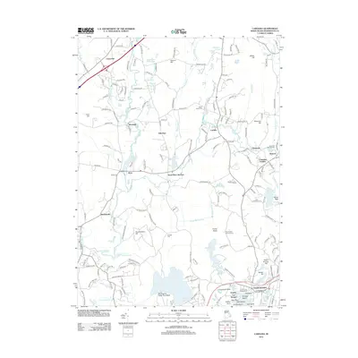 2012 Carolina2012 Print · USGSSouth County, Rhode Island, is shown here in the early twenty-first century, spanning from the manufacturing villages on the Pawcatuck to the coastal ponds. Genealogists and historians can trace indigenous heritage at the Royal Indian Burial Ground or industrial roots at the Shannock Mill Complex.
 - 2012 Map of Slocum, 2012 Print
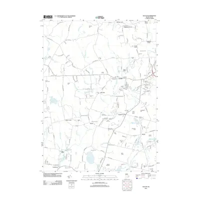 2012 Slocum2012 Print · USGSSouth Kingstown and Exeter at the start of the 2010s remain a landscape of quiet crossroads and historic family plots. Researchers can trace local heritage through the Rhode Island State Veteran Cem, the Kenyon Grist Mill in Usquepaug, and the Old Baptist Church Yard.
 - 2012 Map of Hope Valley, 2012 Print
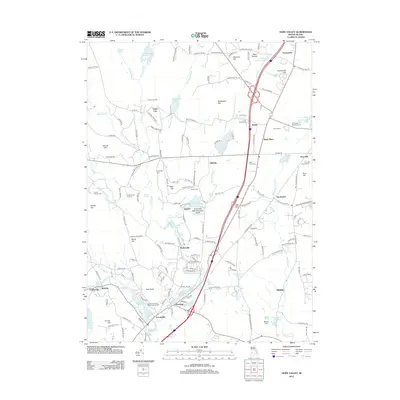 2012 Hope Valley2012 Print · USGSSouth County’s wooded hills and river hamlets are captured here in the early twenty-first century, showing a mix of protected wildlands and historic mill villages. Researchers can find numerous family plots like Austin Cem and landmarks such as the Pine Hill Lookout Tower and Wyoming Pond.
 - 2012 Map of Kingston, 2012 Print
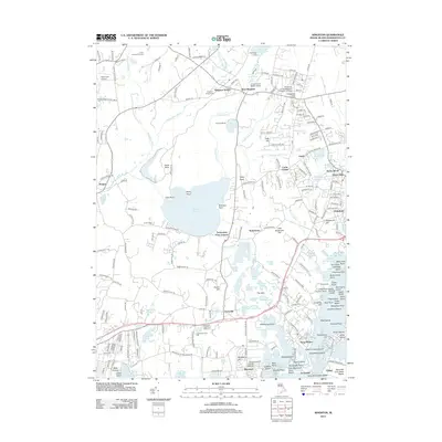 2012 Kingston2012 Print · USGSCoastal Rhode Island and the university hills come to life in this detailed survey of South Kingstown. Genealogists and historians can trace the foundations of West Kingston and Wakefield, locating family-named landmarks like Carpenters Grist Mill and Fernwood Cem.
 - 2015 Map of Hope Valley, 2015 Print
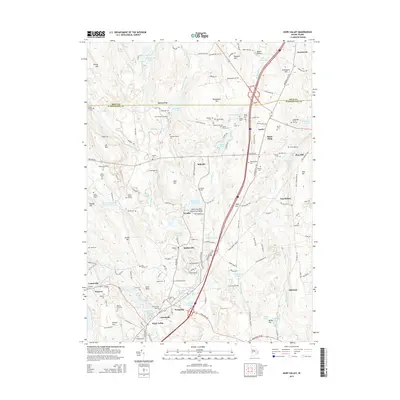 2015 Hope Valley2015 Print · USGSThe Wood River valley in the mid-2010s reveals a landscape of enduring family homesteads and old mill villages. Genealogists can trace localized history through numerous family plots like Tefft Family Cem, the Perkins Family Lot, and Lillibridge Burial Ground.
 - 2015 Map of Slocum, 2015 Print
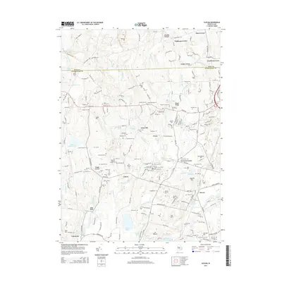 2015 Slocum2015 Print · USGSThe rural landscapes of Exeter and South Kingstown are documented here in the early twenty-first century. Genealogists can trace dozens of family burial grounds and historic land divisions, from the Old Baptist Church Yard to the Rhode Island State Veteran Cem.
 - 2015 Map of Carolina, 2015 Print
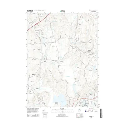 2015 Carolina2015 Print · USGSCoastal Rhode Island at the start of the twenty-first century reveals a landscape of deep family roots and river-driven settlements. Genealogists and historians can locate numerous family estates such as the Hoxie Family Lot and Fenner Lot, or explore the grounds of Fort Ninigret and the White Brook Cem.
 - 2015 Map of Kingston, 2015 Print
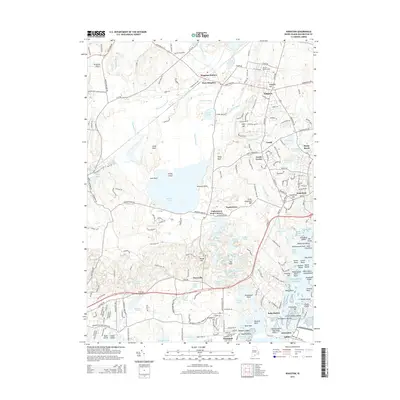 2015 Kingston2015 Print · USGSCoastal South Kingstown and the historic village of Kingston are shown in detail as they appeared in 2015. Researchers can trace the legacy of the Univ of Rhode Island, the busy rail hub at West Kingston, and the specialized fishing ports of Galilee and Jerusalem.
 - 2018 Map of Hope Valley, 2018 Print
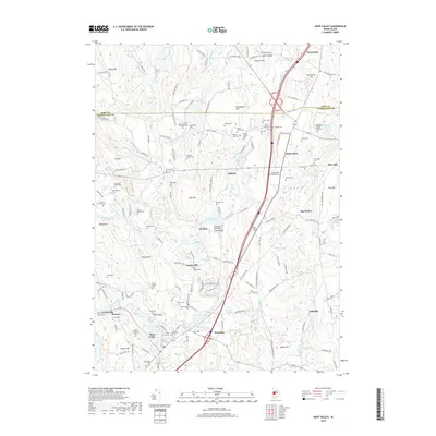 2018 Hope Valley2018 Print · USGSRhode Island's South County villages and family lands are meticulously documented in this recent survey. Genealogists can trace hundreds of years of local history through family-named sites like the Lillibridge Burial Ground, Barberville, and the Richmond Family Plot.
 - 2018 Map of Slocum, 2018 Print
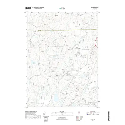 2018 Slocum2018 Print · USGSThe rural terrain of Exeter and Slocum is captured in the late 2010s, showing a landscape rich with family history. Trace ancestral roots through dozens of local burial sites like the Amos Whitford Plot, Slocum-Sweet Cem, and the Old Baptist Church Yard.
 - 2018 Map of Kingston, 2018 Print
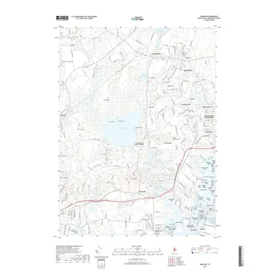 2018 Kingston2018 Print · USGSCoastal Rhode Island settlements and the vast Great Swamp appear in fine detail during the late twenty-tens. Researchers can trace the path of the AMTRAK rail line or locate local landmarks like Richmond Airport, New Fernwood Cem, and the Univ of Rhode Island.
 - 2018 Map of Carolina, 2018 Print
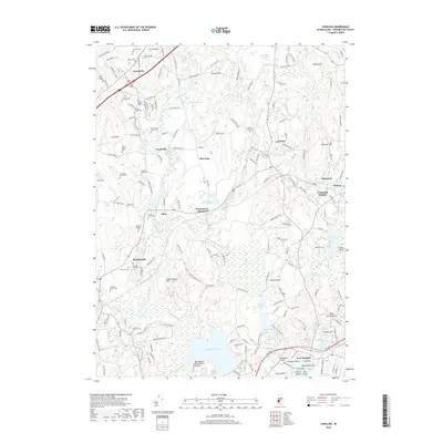 2018 Carolina2018 Print · USGSWashington County at the start of the twenty-first century reveals a landscape of historic rail villages and ancient burial grounds. Genealogists and historians can trace numerous family landmarks like the Worden Plot or explore sites of deep local significance including Fort Ninigret and Indian Burying Hill.
End of results
Showing maps 1-12 of 12
Top cities near Richmond
- Warwick historical maps
- Coventry historical maps
- West Warwick historical maps
- South Kingstown historical maps
- North Kingstown historical maps
- Southold historical maps
See more
Top neighborhoods of Richmond
- Alton historical maps
- Carolina historical maps
- Kenyon historical maps
- Shannock historical maps
- Wood River Junction historical maps
- Wyoming historical maps
See more
Frequently asked questions
- What are the different types of historical maps available for Richmond?
- What is the oldest map of Richmond?
- Where can I purchase historical maps of Richmond for my home or office?
- Where can I download high-res historical maps of Richmond?
- Are there historical topographic maps available for Richmond?
- Is there historical aerial imagery available for Richmond?
- Where are historical maps of Richmond sourced from?