Old Maps of Richmond, Rhode Island for Genealogy
Trace your family roots with 49 historic maps of Richmond. These high-res maps reveal old neighborhoods, homesites, landmarks, and streets — helping you uncover where your ancestors lived and how the area evolved over time.
- Explore historic neighborhoods: Identify where your relatives may have lived in the 1800s or 1900s.
- Compare maps over time: Trace the changes in streets, buildings, and landmarks for multi-generational research.
- Perfect for genealogy & ancestry research: Used by family historians and researchers to map out lineage and migration.
These maps are an incredible resource for exploring your personal connection to Richmond's past.
Richmond, RI maps
(49)- 1889 Map of Charlestown
 1889 Charlestown1889 Print · USGSCoastal Washington County in the late Victorian era is defined by salt ponds and a burgeoning rail network. Genealogists and historians can trace the early layouts of Quonochontaug, Carolina, and Richmond Switch near landmarks like Indian Burying Hill.9 unique versions available
 - 1890 Map of Kent
 1890 Kent1890 Print · USGSRhode Island's industrial heartland is in full swing during the late nineteenth century, dominated by mill towns and busy rail lines. Trace the development of Phenix, Coventry Center, and Arctic along the Pawtuxet River and the expanding New York and New England Railroad.
 - 1894 Map of Kent
 1894 Kent1894 Print · USGSCentral Rhode Island’s mill towns and rural uplands are shown here at the height of the Victorian era. Researchers can trace the path of the Valley Railroad through industrial hubs like Phenix or locate small settlements like Noose Neck and Usquepaug.7 unique versions available
 - 1919 Map of Charlestown
 1919 Charlestown1919 Print · USGSCoastal Rhode Island just after the Great War shows a landscape of rail-connected mill villages and sprawling salt ponds. Researchers can trace the legacy of the R.I. Agricultural College or locate landmarks like the King Philip Monument and Indian Burying Hill.
 - 1921 Map of Charlestown
 1921 Charlestown1921 Print · USGSThe Rhode Island coastline near Charlestown is shown in the early twentieth century before modern development altered the barrier beaches. Trace family history through the inland rail junctions and schools like R.I. Agricultural College and Wood River Junction.
 - 1942 Map of Block Island, 1943 Print
 1942 Block Island1943 Print · USGSThe coastal borderlands of Rhode Island and Connecticut are captured here during the wartime years, documenting a landscape defined by rail and sea. Researchers can trace the NY NH & H RR through historic mill villages or locate landmarks like the Silex Mine and Indian Burying Hill.2 unique versions available
 - 1942 Map of Kingston, 1953 Print
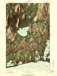 1942 Kingston1953 Print · USGSSouthern Rhode Island at the onset of the 1940s reveals a landscape of quiet academic towns, massive freshwater swamps, and busy salt-pond harbors. Genealogists and historians can trace family locations near the Great Swamp Fight Site, St Francis Cem, and the old campus of Rhode Island State College.4 unique versions available
 - 1943 Map of Slocum
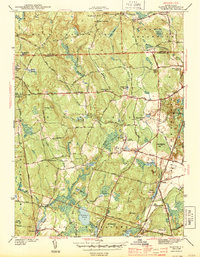 1943 Slocum1943 Print · USGSRhode Island's rural interior comes into focus during the early 1940s, showing a landscape of upland farms, mill ponds, and dispersed hamlets. Researchers can locate vanished schoolhouses and local landmarks like Hitty Corner Sch, Yorker Mill Pond, and the State Hospital.2 unique versions available
 - 1943 Map of Hope Valley
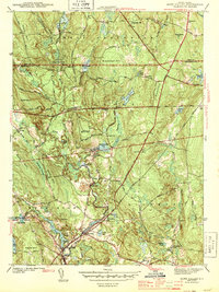 1943 Hope Valley1943 Print · USGSSouthern Rhode Island’s rural mill villages and inland waterways are preserved here in the early nineteen-forties. Genealogists and historians can trace the foundations of local life through the Barber Cem, the Old Bates Sch, and the industrial cluster at Hope Valley.2 unique versions available
 - 1943 Map of Carolina
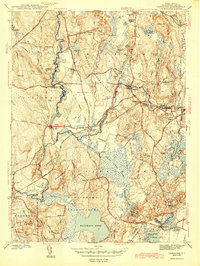 1943 Carolina1943 Print · USGSInland Washington County villages thrive along the rail lines and river bends during the early 1940s. Local researchers can trace family landmarks like Burdick Cem, explore the layout of Wood River Junction, and locate the Pawcatuck Valley Sch.2 unique versions available
 - 1943 Map of Putnam, 1944 Print
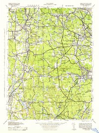 1943 Putnam1944 Print · USGSThe Connecticut and Rhode Island borderlands are captured here during the wartime era, showing a landscape defined by textile river towns and sprawling state forests. Trace the industrial rail corridor of the New York New Haven and Hartford through Putnam, Danielson, and Moosup.
 - 1944 Map of Kingston
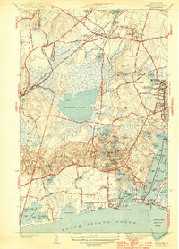 1944 Kingston1944 Print · USGSSouth Kingstown and the surrounding coastal villages are shown here during the early years of the Second World War. Genealogists and researchers can trace family landmarks and early civic life at Rhode Island State College, the Matunuck Sch, and the Great Swamp Fight Site.2 unique versions available
 - 1947 Map of Providence, 1948 Print
 1947 Providence1948 Print · USGSSouthern New England is captured in the mid-1940s, showing a landscape defined by busy industrial ports and expanding military installations. Researchers can trace the rail lines of the N.Y. N.H. & H. RR or locate coastal defenses like Fort Adams and Quonset Point.5 unique versions available
 - 1948 Map of Providence, 1951 Print
 1948 Providence1951 Print · USGSSouthern New England’s coastal reaches are captured here in the late 1940s, from the industrial heart of Providence to the tip of Provincetown. Genealogists and historians can trace rail lines like the Central Vermont Railway and locate active military sites such as Otis Air Force Base and Fort Rodman.
 - 1950 Map of Slocum
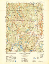 1950 Slocum1950 Print · USGSSouthern Rhode Island's rural and institutional heartland comes to life in this mid-century survey of the Slocum and Exeter areas. Researchers can trace historic local sites like Liberty Ch, Hitty Corner Sch, and the grounds of the State Hospital.
 - 1953 Map of Carolina
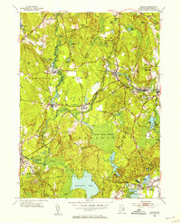 1953 Carolina1953 Print · USGSCoastal Washington County villages and early transit corridors are captured here in the mid-fifties. Genealogists and historians can trace family plots at White Brook Cemetery or explore the rail hubs of Carolina Station and Wood River Junction.7 unique versions available
 - 1953 Map of Hope Valley, 1955 Print
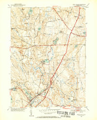 1953 Hope Valley1955 Print · USGSThe rural valleys of western Rhode Island are captured here in the early 1950s, centered on the thriving mill villages of Hope Valley and Wyoming. Genealogists can trace family landmarks and rural institutions from the West Exeter Ch to the Barber Cem and the West Greenwich Sch.8 unique versions available
 - 1955 Map of Slocum, 1957 Print
 1955 Slocum1957 Print · USGSCentral Rhode Island in the mid-fifties is defined by its rural crossroads and woodland preserves. Genealogists and historians can trace the footprint of Slocum, find the Exeter State Sch, and follow the New York New Haven and Hartford Railroad as it passes Yawgoo Pond.5 unique versions available
 - 1957 Map of Providence
 1957 Providence1957 Print · USGSCoastal New England at the height of the mid-century era shows a landscape shaped by maritime industry and Cold War defense. Genealogists and historians can trace the reach of the New York, New Haven & Hartford RR and locate legacy sites like Fort Adams and Quonset Point Naval Air Station.
 - 1957 Map of Kingston, 1959 Print
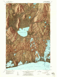 1957 Kingston1959 Print · USGSSouth Kingstown and the Atlantic coast appear here during a period of mid-century growth and conservation. Genealogists and local historians can trace the foundations of the University of Rhode Island, the historic Great Swamp Fight Site, and coastal settlements like Snug Harbor.10 unique versions available
 - 1958 Map of Providence
 1958 Providence1958 Print · USGSThe Rhode Island and Massachusetts coastlines are shown in detail during the late 1950s, from the urban cores to the tips of the islands. Researchers can trace the mid-century footprint of Quonset Point Naval Air Station, the defense works at Fort Adams, and the rail network of the New York, New Haven and Hartford RR.
 - 1963 Map of Providence
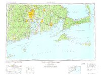 1963 Providence1963 Print · USGSSouthern New England's coastal and industrial heartland is captured here in the early sixties, from the Rhode Island mainland to the far reaches of the Cape. Researchers can trace mid-century growth in Providence or locate landmarks on Marthas Vineyard and Nantucket Island.
 - 1984 Map of Block Island
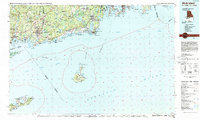 1984 Block Island1984 Print · USGSThe coastal borderlands of Rhode Island, Connecticut, and New York are captured here in the mid-eighties, from the rail hubs of Westerly to the shores of Block Island. Genealogists and historians can trace the shoreline's evolution through landmarks like the Pequot Indian Res, New Shoreham, and Narragansett Pier.
 - 1984 Map of Providence, 1985 Print
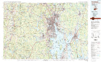 1984 Providence1985 Print · USGSThe Rhode Island coast and its industrial heartlands are captured here in the mid-eighties, showing the density of the Providence metro area. Researchers can trace historic rail lines like the Providence & Worcester RR and explore the maritime layout of Narragansett Bay and Newport.
 - 1996 Map of Slocum, 1999 Print
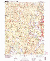 1996 Slocum1999 Print · USGSSouthern Rhode Island in the mid-nineties remains a landscape of historic villages and extensive wetlands. Genealogists and historians can trace family-named corners and crossroads like Woods Corner, Wightmans Corner, and the rural community of Liberty.
Showing maps 1-25 of 49
Top cities near Richmond
- Warwick historical maps
- Coventry historical maps
- West Warwick historical maps
- South Kingstown historical maps
- North Kingstown historical maps
- Southold historical maps
See more
Top neighborhoods of Richmond
- Alton historical maps
- Carolina historical maps
- Kenyon historical maps
- Shannock historical maps
- Wood River Junction historical maps
- Wyoming historical maps
See more
Frequently asked questions
- What are the different types of historical maps available for Richmond?
- What is the oldest map of Richmond?
- Where can I purchase historical maps of Richmond for my home or office?
- Where can I download high-res historical maps of Richmond?
- Are there historical topographic maps available for Richmond?
- Is there historical aerial imagery available for Richmond?
- Where are historical maps of Richmond sourced from?