2000s (21st Century) Maps of Shannock, Richmond
Explore 6 historic maps of Shannock from the 2000s (21st Century). These maps offer a rare glimpse into what life looked like during the 2000s — showing old roads, neighborhoods, homes, and landmarks that have changed or disappeared over time.
Whether you're researching your family's past, planning a metal detecting trip, or studying how Shannock's landscape evolved across the 2000s, these high-resolution maps are a powerful tool for exploring the history of this region.
- Focus on a specific era: All maps on this page are from the 2000s, giving you a focused view of this time period.
- See what’s changed: Compare century-old streets, trails, and buildings to today's modern landscape using overlays and satellite layers.
- Research with precision: Use these maps for genealogy, historical research, land use analysis, or educational projects.
- View, download, or print: Maps are fully viewable online in high resolution, and can be downloaded or printed for your own records.
Start exploring Shannock's history through authentic maps from the 2000s. This is your window into the past.
Shannock, Richmond maps
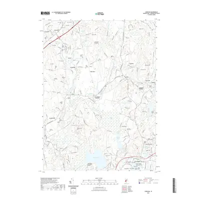
(6)- 2001 Map of Carolina, 2003 Print
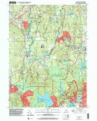 2001 Carolina2003 Print · USGSSouthern Rhode Island at the start of the millennium is a mosaic of colonial-era hamlets and conservation lands. Genealogists and historians can trace family ties through Carolina, Wood River Junction, and the historic Fort Ninigret on the southern coast.
 - 2012 Map of Carolina, 2012 Print
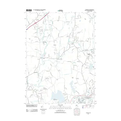 2012 Carolina2012 Print · USGSCovers Shannock, including Westerly, Hopkinton, and other nearby areas
 - 2015 Map of Carolina, 2015 Print
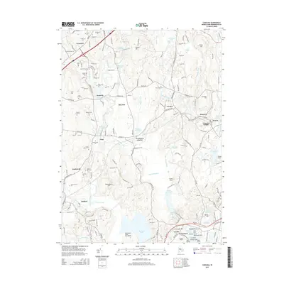 2015 Carolina2015 Print · USGSCovers Shannock, including Westerly, Hopkinton, and other nearby areas
 - 2018 Map of Carolina, 2018 Print
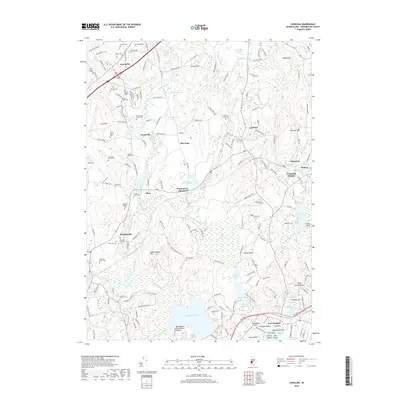 2018 Carolina2018 Print · USGSCovers Shannock, including Westerly, Hopkinton, and other nearby areas
 - 2021 Map of Carolina, 2021 Print
 2021 Carolina2021 Print · USGSCovers Shannock, including Westerly, Hopkinton, and other nearby areas
 - 2024 Map of Carolina, 2024 Print
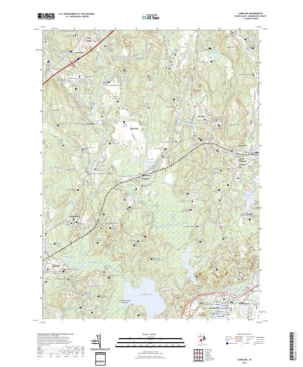 2024 Carolina2024 Print · USGSThe river-powered mill hamlets and family farmsteads of southern Rhode Island are captured here during the 2020s. Genealogists can locate family burial plots like the Matthew Potter Lot Cem and trace the rail corridor through Wood River Junction.
End of results
Showing maps 1-6 of 6
Top cities near Shannock
- Warwick historical maps
- Coventry historical maps
- West Warwick historical maps
- South Kingstown historical maps
- East Hampton historical maps
- North Kingstown historical maps
See more
Frequently asked questions
- What are the different types of historical maps available for Shannock?
- What is the oldest map of Shannock?
- Where can I purchase historical maps of Shannock for my home or office?
- Where can I download high-res historical maps of Shannock?
- Are there historical topographic maps available for Shannock?
- Is there historical aerial imagery available for Shannock?
- Where are historical maps of Shannock sourced from?