2020s Maps of Abbeville County, South Carolina
Explore 32 historic maps of Abbeville County from the 2020s. These maps offer a rare glimpse into what life looked like during the 2020s — showing old roads, neighborhoods, homes, and landmarks that have changed or disappeared over time.
Whether you're researching your family's past, planning a metal detecting trip, or studying how Abbeville County's landscape evolved across the 2020s, these high-resolution maps are a powerful tool for exploring the history of this region.
- Focus on a specific era: All maps on this page are from the 2020s, giving you a focused view of this time period.
- See what’s changed: Compare century-old streets, trails, and buildings to today's modern landscape using overlays and satellite layers.
- Research with precision: Use these maps for genealogy, historical research, land use analysis, or educational projects.
- View, download, or print: Maps are fully viewable online in high resolution, and can be downloaded or printed for your own records.
Start exploring Abbeville County's history through authentic maps from the 2020s. This is your window into the past.
Abbeville County, SC maps
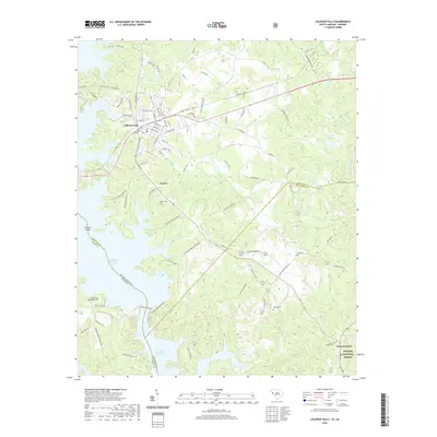
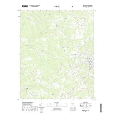
(32)- 2020 Map of Abbeville East, 2020 Print
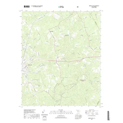 2020 Abbeville East2020 Print · USGSCovers Abbeville County, including Abbeville, Darraugh, and other nearby areas
 - 2020 Map of Due West, 2020 Print
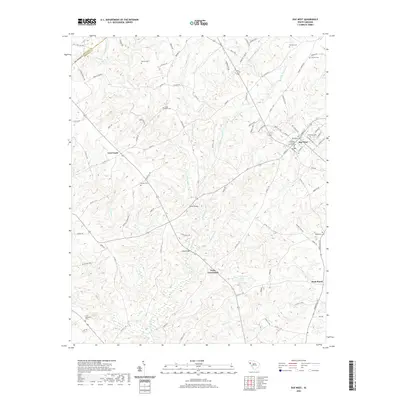 2020 Due West2020 Print · USGSCovers Abbeville County, including Due West, Winona, and other nearby areas
 - 2020 Map of Ware Shoals East, 2020 Print
 2020 Ware Shoals East2020 Print · USGSCovers Abbeville County, including Poplar Springs, Brewerton, and other nearby areas
 - 2020 Map of Greenwood, 2020 Print
 2020 Greenwood2020 Print · USGSCovers Abbeville County, including Greenwood, Harris, and other nearby areas
 - 2020 Map of Calhoun Falls, 2020 Print
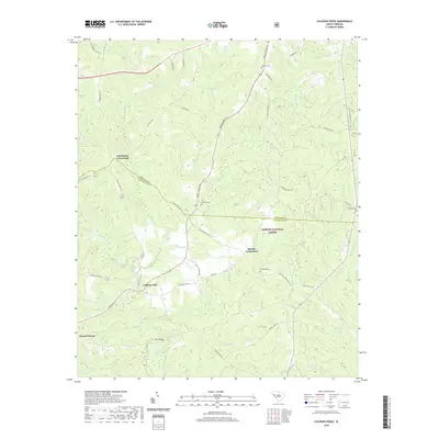
 2020 Calhoun Falls2020 Print · USGSCovers Abbeville County, including Calhoun Falls, Hester, and other nearby areas
 - 2020 Map of Antreville, 2020 Print
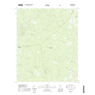
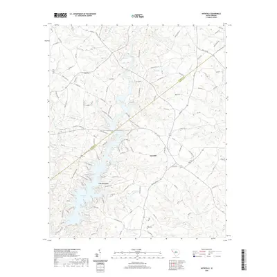 2020 Antreville2020 Print · USGSCovers Abbeville County, including Antreville, Lake Secession, and other nearby areas
 - 2020 Map of Shoals Junction, 2020 Print
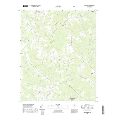 2020 Shoals Junction2020 Print · USGSCovers Abbeville County, including Due West, Donalds, and other nearby areas
 - 2020 Map of Abbeville West, 2020 Print
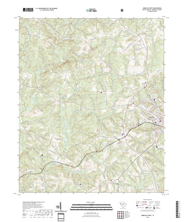
 2020 Abbeville West2020 Print · USGSCovers Abbeville County, including Abbeville, Watts, and other nearby areas
 - 2020 Map of Calhoun Creek, 2020 Print
 2020 Calhoun Creek2020 Print · USGSCovers Abbeville County, including Calhoun Mill, Bethel, and other nearby areas
 - 2020 Map of Ware Shoals West, 2020 Print
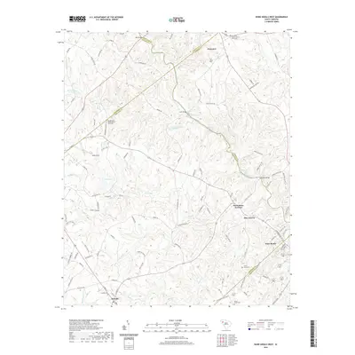 2020 Ware Shoals West2020 Print · USGSCovers Abbeville County, including Honea Path, Donalds, and other nearby areas
 - 2020 Map of Latimer, 2020 Print
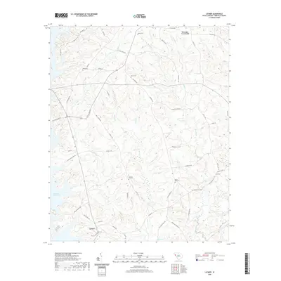 2020 Latimer2020 Print · USGSCovers Abbeville County, including Brownlee Crossroads, Latimer, and other nearby areas
 - 2020 Map of Verdery, 2020 Print
 2020 Verdery2020 Print · USGSCovers Abbeville County, including Bradley Corner, Clatworthy Crossroads, and other nearby areas
 - 2020 Map of Honea Path, 2020 Print
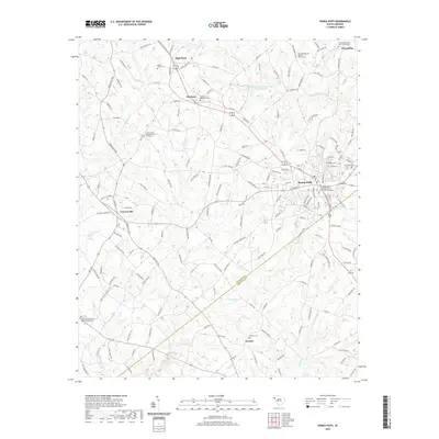 2020 Honea Path2020 Print · USGSCovers Abbeville County, including Honea Path, Friendship, and other nearby areas
 - 2020 Map of Lowndesville, 2020 Print
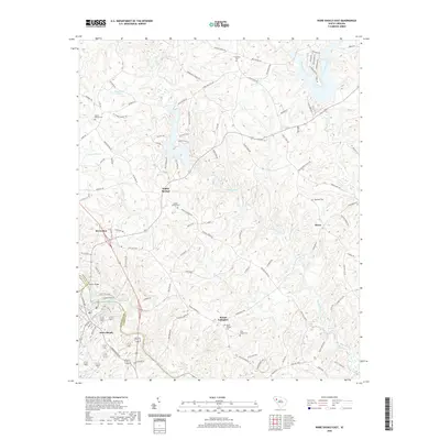
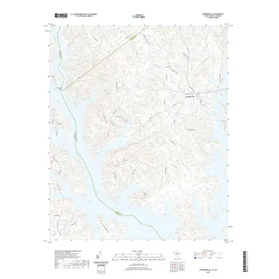 2020 Lowndesville2020 Print · USGSCovers Abbeville County, including Lowndesville, Anderson County, and other nearby areas
 - 2020 Map of Heardmont, 2020 Print
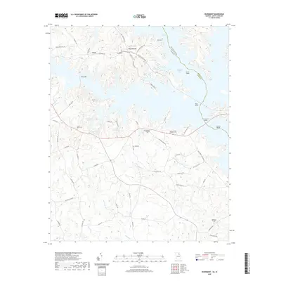 2020 Heardmont2020 Print · USGSCovers Abbeville County, including Pearl, Beverly, and other nearby areas
 - 2020 Map of Iva, 2020 Print
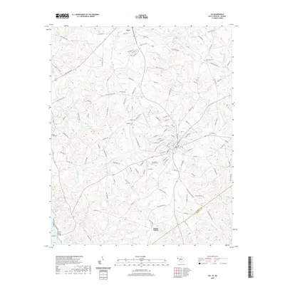 2020 Iva2020 Print · USGSCovers Abbeville County, including Iva, Starr, and other nearby areas
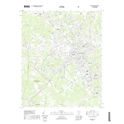
 - 2024 Map of Greenwood, 2024 Print
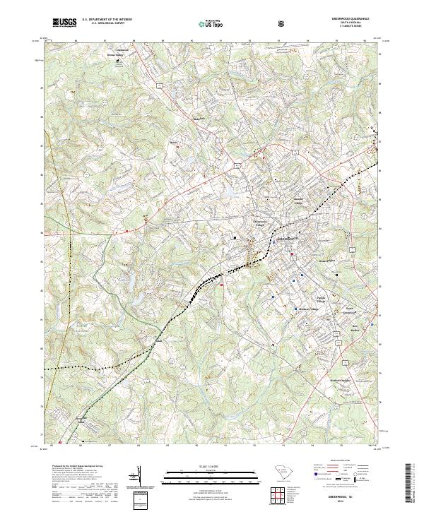 2024 Greenwood2024 Print · USGSGreenwood and its surrounding mill villages are captured here in the contemporary era, revealing the deep roots of this Piedmont hub. Researchers can locate family landmarks like Mars Hill Church, Magnolia Cem, and the historic settlement of Promised Land.
 - 2024 Map of Ware Shoals West, 2024 Print
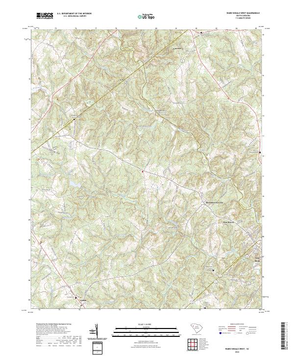 2024 Ware Shoals West2024 Print · USGSIn the Upstate of South Carolina, this area shows the historic borderlands where the Saluda River separates five different counties. Genealogists can trace family lines through several rural burial grounds, including Turkey Creek Church Graveyard and Donalds Cem.
 - 2024 Map of Antreville, 2024 Print
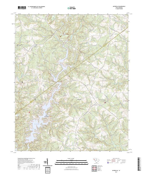 2024 Antreville2024 Print · USGSThe rural borders of Abbeville and Anderson Counties are captured here in the contemporary era, centered on the community of Antreville. Genealogists can trace family landmarks and burial sites like Cromer Cem, Leverett Cem, and Shiloh United Methodist Church.
 - 2024 Map of Calhoun Creek, 2024 Print
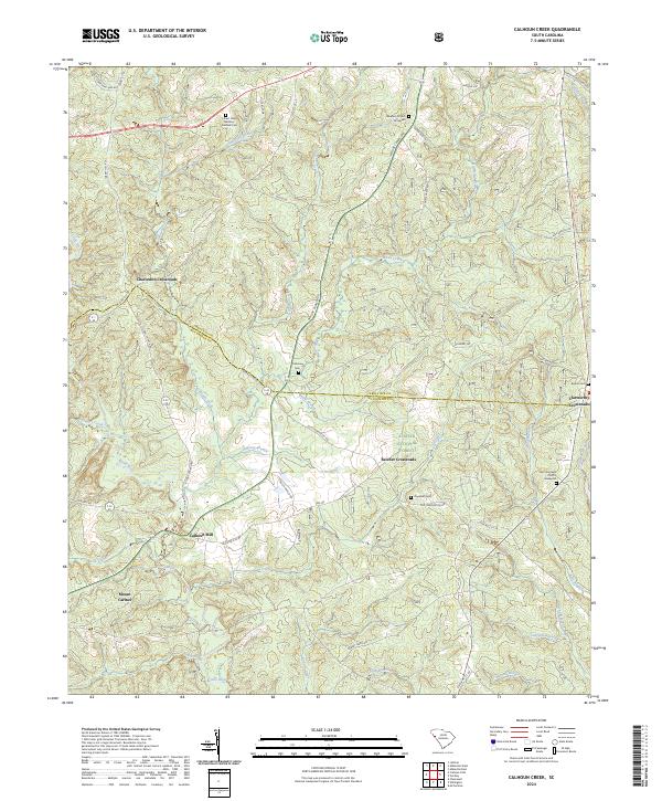 2024 Calhoun Creek2024 Print · USGSThe rural borderlands of Abbeville and McCormick Counties are mapped here in the modern era, showing a landscape shaped by the Little River. Genealogists can locate long-standing landmarks such as Calhoun Mill, the Saint Goodwill Church Graveyard, and Mount Carmel.
 - 2024 Map of Abbeville West, 2024 Print
 2024 Abbeville West2024 Print · USGSThe outskirts of Abbeville and the settlement of Watts are shown here as they appeared in the early 21st century. Genealogists can trace family connections through numerous burial sites including Upper Long Cane Cem, Saint Peter Church Graveyard, and Old Zion Cem.
 - 2024 Map of Honea Path, 2024 Print
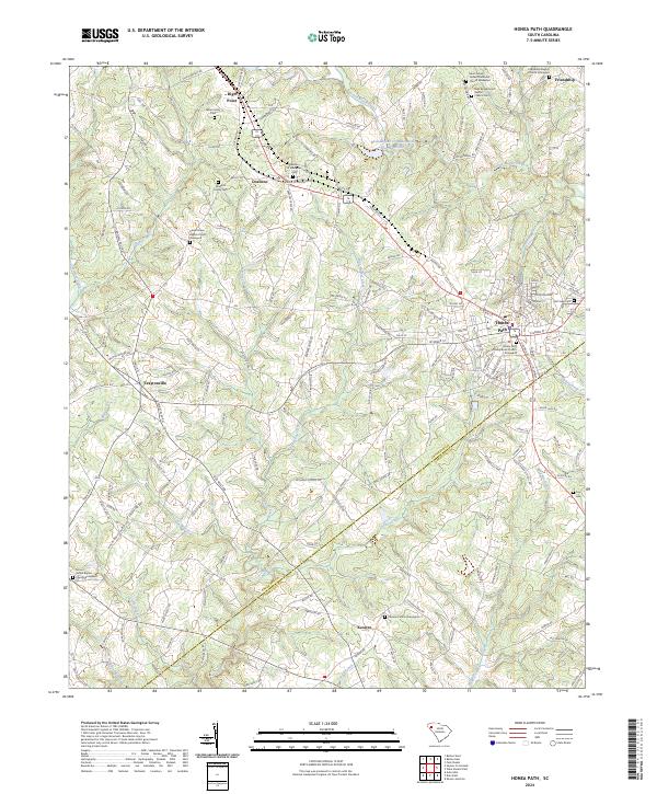 2024 Honea Path2024 Print · USGSHonea Path and its surrounding rural townships are shown here at the Anderson and Abbeville county line in the modern era. Genealogists and local historians can trace legacy burial sites and family landmarks like the Maddox Family Cem, Craytonville, and the Keowee Church Graveyard.
 - 2024 Map of Heardmont, 2024 Print
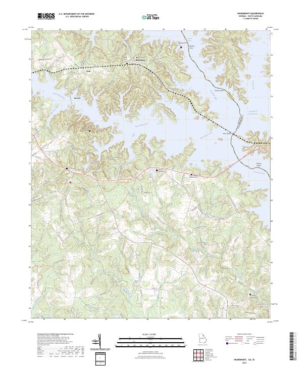 2024 Heardmont2024 Print · USGSElbert County sits at the edge of the Savannah River in this modern survey of the Georgia-South Carolina border. Genealogists and local historians can trace family roots through numerous sites like Bethel Baptist Cem, Heardmont, and Moseley Ferry.
 - 2024 Map of Shoals Junction, 2024 Print
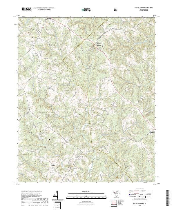 2024 Shoals Junction2024 Print · USGSAbbeville and Greenwood counties are shown here in the contemporary era, where rural settlements and ancestral burial grounds define the landscape. Researchers can trace family history at Old Gilgal Cem or locate homesites near Arborville and Shoals Junction.
 - 2024 Map of Iva, 2024 Print
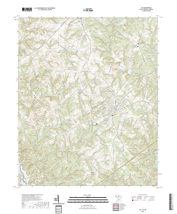 2024 Iva2024 Print · USGSIva and Starr are captured in the twenty-first century as they anchor a rural landscape defined by the drainage of the Savannah River. Researchers can trace old family road names and locate several historic spiritual hubs, including Hebron Methodist Church and Good Hope Baptist Church.
Showing maps 1-25 of 32
Top cities of Abbeville County
- Abbeville historical maps
- Calhoun Falls historical maps
- Due West historical maps
- Donalds historical maps
- Lowndesville historical maps
Frequently asked questions
- What are the different types of historical maps available for Abbeville County?
- What is the oldest map of Abbeville County?
- Where can I purchase historical maps of Abbeville County for my home or office?
- Where can I download high-res historical maps of Abbeville County?
- Are there historical topographic maps available for Abbeville County?
- Is there historical aerial imagery available for Abbeville County?
- Where are historical maps of Abbeville County sourced from?