2000s (21st Century) Maps of Abbeville County, South Carolina
Explore 80 historic maps of Abbeville County from the 2000s (21st Century). These maps offer a rare glimpse into what life looked like during the 2000s — showing old roads, neighborhoods, homes, and landmarks that have changed or disappeared over time.
Whether you're researching your family's past, planning a metal detecting trip, or studying how Abbeville County's landscape evolved across the 2000s, these high-resolution maps are a powerful tool for exploring the history of this region.
- Focus on a specific era: All maps on this page are from the 2000s, giving you a focused view of this time period.
- See what’s changed: Compare century-old streets, trails, and buildings to today's modern landscape using overlays and satellite layers.
- Research with precision: Use these maps for genealogy, historical research, land use analysis, or educational projects.
- View, download, or print: Maps are fully viewable online in high resolution, and can be downloaded or printed for your own records.
Start exploring Abbeville County's history through authentic maps from the 2000s. This is your window into the past.
Abbeville County, SC maps
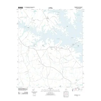
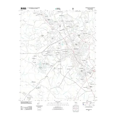
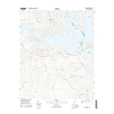
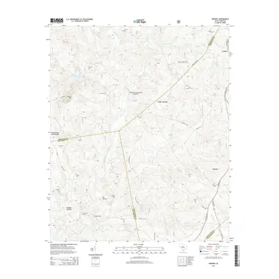
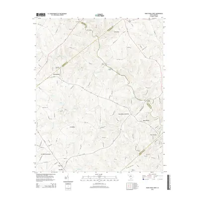
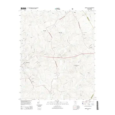
(80)- 2011 Map of Shoals Junction, 2011 Print
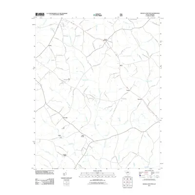 2011 Shoals Junction2011 Print · USGSCovers Abbeville County, including Due West, Donalds, and other nearby areas
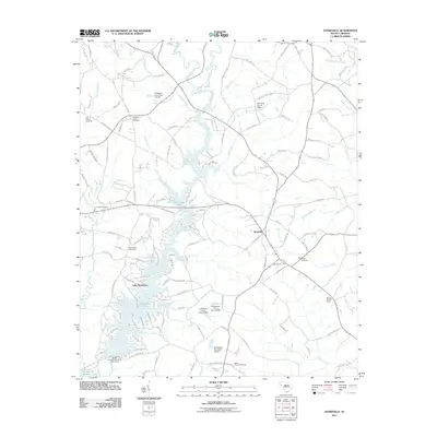
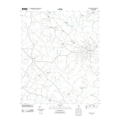
 - 2011 Map of Lowndesville, 2011 Print
 2011 Lowndesville2011 Print · USGSCovers Abbeville County, including Lowndesville, Anderson County, and other nearby areas
 - 2011 Map of Calhoun Creek, 2011 Print
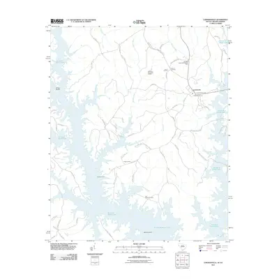
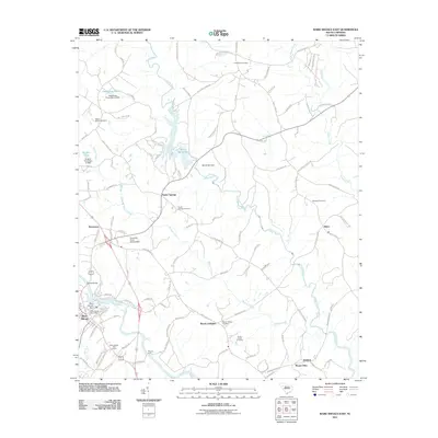
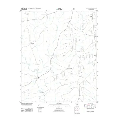 2011 Calhoun Creek2011 Print · USGSCovers Abbeville County, including Calhoun Mill, Bethel, and other nearby areas
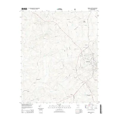
 - 2011 Map of Ware Shoals West, 2011 Print
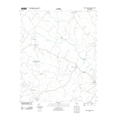 2011 Ware Shoals West2011 Print · USGSCovers Abbeville County, including Honea Path, Donalds, and other nearby areas
 - 2011 Map of Heardmont, 2011 Print
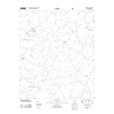
 2011 Heardmont2011 Print · USGSCovers Abbeville County, including Pearl, Beverly, and other nearby areas
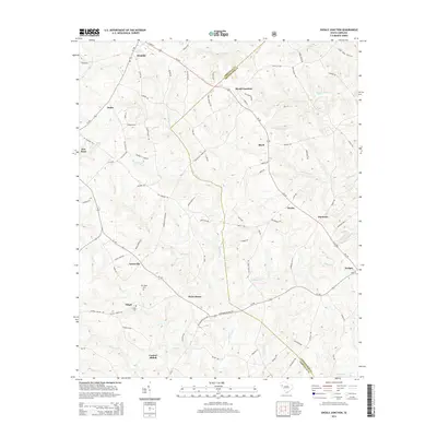
 - 2011 Map of Antreville, 2011 Print
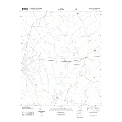
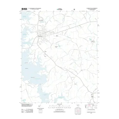
 2011 Antreville2011 Print · USGSCovers Abbeville County, including Antreville, Lake Secession, and other nearby areas
 - 2011 Map of Ware Shoals East, 2011 Print
 2011 Ware Shoals East2011 Print · USGSCovers Abbeville County, including Poplar Springs, Brewerton, and other nearby areas
 - 2011 Map of Verdery, 2011 Print
 2011 Verdery2011 Print · USGSCovers Abbeville County, including Bradley Corner, Clatworthy Crossroads, and other nearby areas
 - 2011 Map of Latimer, 2011 Print
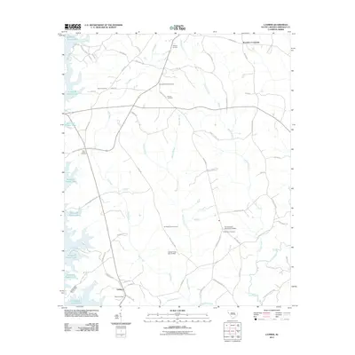 2011 Latimer2011 Print · USGSCovers Abbeville County, including Brownlee Crossroads, Latimer, and other nearby areas
 - 2011 Map of Abbeville East, 2011 Print
 2011 Abbeville East2011 Print · USGSCovers Abbeville County, including Abbeville, Darraugh, and other nearby areas
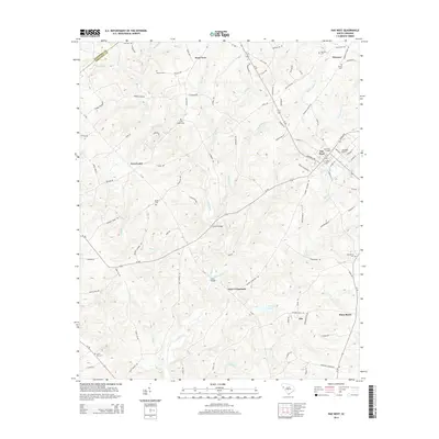
 - 2011 Map of Due West, 2011 Print
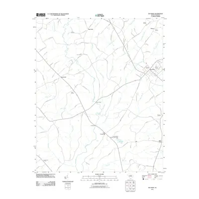 2011 Due West2011 Print · USGSCovers Abbeville County, including Due West, Winona, and other nearby areas
 - 2011 Map of Abbeville West, 2011 Print
 2011 Abbeville West2011 Print · USGSCovers Abbeville County, including Abbeville, Watts, and other nearby areas
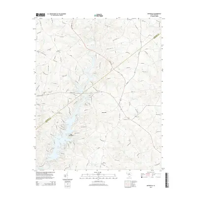
 - 2011 Map of Greenwood, 2011 Print
 2011 Greenwood2011 Print · USGSCovers Abbeville County, including Greenwood, Harris, and other nearby areas
 - 2011 Map of Honea Path, 2011 Print
 2011 Honea Path2011 Print · USGSCovers Abbeville County, including Honea Path, Friendship, and other nearby areas
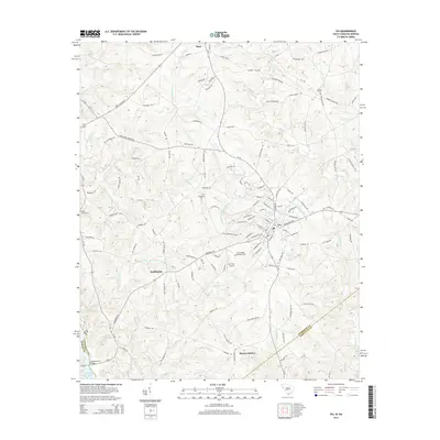
 - 2011 Map of Iva, 2011 Print
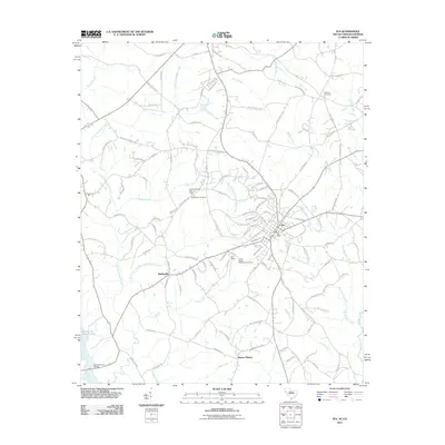 2011 Iva2011 Print · USGSCovers Abbeville County, including Iva, Starr, and other nearby areas
 - 2012 Map of Calhoun Falls, 2012 Print
 2012 Calhoun Falls2012 Print · USGSCovers Abbeville County, including Calhoun Falls, Hester, and other nearby areas
 - 2014 Map of Heardmont, 2014 Print
 2014 Heardmont2014 Print · USGSCovers Abbeville County, including Pearl, Beverly, and other nearby areas
 - 2014 Map of Due West, 2014 Print
 2014 Due West2014 Print · USGSCovers Abbeville County, including Due West, Winona, and other nearby areas
 - 2014 Map of Verdery, 2014 Print
 2014 Verdery2014 Print · USGSCovers Abbeville County, including Bradley Corner, Clatworthy Crossroads, and other nearby areas
 - 2014 Map of Shoals Junction, 2014 Print
 2014 Shoals Junction2014 Print · USGSCovers Abbeville County, including Due West, Donalds, and other nearby areas
 - 2014 Map of Ware Shoals West, 2014 Print
 2014 Ware Shoals West2014 Print · USGSCovers Abbeville County, including Honea Path, Donalds, and other nearby areas
 - 2014 Map of Iva, 2014 Print
 2014 Iva2014 Print · USGSCovers Abbeville County, including Iva, Starr, and other nearby areas
 - 2014 Map of Antreville, 2014 Print
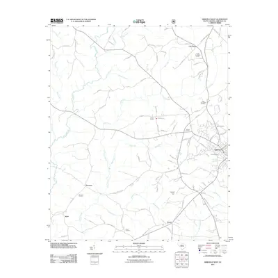
 2014 Antreville2014 Print · USGSCovers Abbeville County, including Antreville, Lake Secession, and other nearby areas
 - 2014 Map of Abbeville West, 2014 Print
 2014 Abbeville West2014 Print · USGSCovers Abbeville County, including Abbeville, Watts, and other nearby areas
 - 2014 Map of Abbeville East, 2014 Print
 2014 Abbeville East2014 Print · USGSCovers Abbeville County, including Abbeville, Darraugh, and other nearby areas
Showing maps 1-25 of 80
Top cities of Abbeville County
- Abbeville historical maps
- Calhoun Falls historical maps
- Due West historical maps
- Donalds historical maps
- Lowndesville historical maps
Frequently asked questions
- What are the different types of historical maps available for Abbeville County?
- What is the oldest map of Abbeville County?
- Where can I purchase historical maps of Abbeville County for my home or office?
- Where can I download high-res historical maps of Abbeville County?
- Are there historical topographic maps available for Abbeville County?
- Is there historical aerial imagery available for Abbeville County?
- Where are historical maps of Abbeville County sourced from?