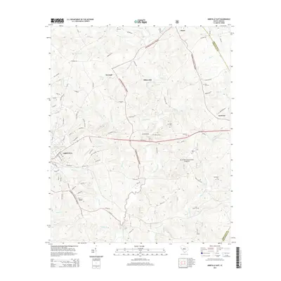
2014 Map of Abbeville East
USGS Topo · Published 2014About this map
Abbeville marks the western edge of this landscape, where the town grid meets the rolling wooded tracts of the Sumter National Forest. The map documents a rural South Carolina transition, where established settlements like Smithville and Shiloh are connected by historical routes such as the Old Greenwood Hwy and Old Abbeville Hwy. This 2014 data shows the intricate drainage system of the Piedmont, including the winding Long Cane Creek and its many tributaries like McCord Cr and Little Curtail Cr.
Find a feature on this map
88 named features on this map. Tap any name to fly to it.
Don’t see what you’re looking for? This feature index may not catch every label — zoom into the map to look around manually.
Map Details
Editions of this 2014 Abbeville East Map
This is the sole edition of this map. No revisions or reprints were ever made.
Other maps of this area

1892 · Abbeville
USGS Topo · 1:125,000

1948 · Abbeville East
USGS Topo · 1:24,000

1948 · Verdery
USGS Topo · 1:24,000

1948 · Abbeville West
USGS Topo · 1:24,000

1949 · Abbeville
USGS Topo · 1:24,000

1949 · Calhoun Creek
USGS Topo · 1:24,000

1949 · Greenwood
USGS Topo · 1:24,000

1950 · Bradley
USGS Topo · 1:24,000

1950 · Verdery
USGS Topo · 1:24,000

1950 · Abbeville East
USGS Topo · 1:24,000