Old Maps of Abbeville, South Carolina for Metal Detecting
Plan your next treasure hunt with 18 historic maps of Abbeville. Find old homesites, ghost towns, trails, and gathering spots that may be lost to time — perfect for identifying promising metal detecting locations.
- Locate forgotten sites: Uncover places like long-lost settlements, abandoned rail lines, or gathering spots.
- Plan better hunts: Use map overlays combined with LiDAR or satellite views to narrow in on historically rich areas.
- Made for detectorists: Thousands of hobbyists use these maps to discover relics, coins, and hidden history.
Use these historic maps to boost your research and find new opportunities beneath the surface of Abbeville.
Abbeville, SC maps
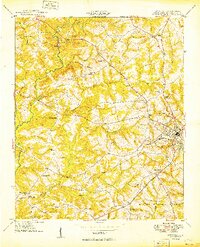
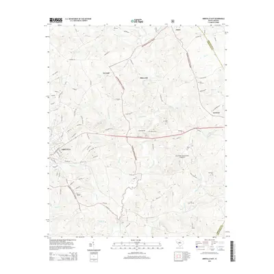
(18)- 1892 Map of Abbeville
 1892 Abbeville1892 Print · USGSSouth Carolina’s Upstate during the late 1800s reveals a landscape defined by critical river crossings and the arrival of the steam era. Genealogists can trace family roots through localized sites like Smith Ferry, Maddox Mill, and the bustling rail hub of Greenwood.6 unique versions available
 - 1948 Map of Abbeville East
 1948 Abbeville East1948 Print · USGSAbbeville and its eastern rural fringes are documented here in the late 1940s before the continued growth of the national forest. Genealogists and local historians can trace family-named sites like Aiken Cem, the County Training Sch, and Millers Mill.
 - 1948 Map of Abbeville West, 1976 Print
 1948 Abbeville West1976 Print · USGSAbbeville and its western rural surroundings are captured in the late 1940s, showing a landscape of small schools and country churches. Local researchers can locate historic family burial sites at Old Zion Cem and trace the path of the Seaboard Air Line railroad.
 - 1949 Map of Abbeville
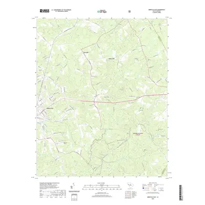
 1949 Abbeville1949 Print · USGSAbbeville and its surrounding Piedmont countryside are captured here in the late 1940s, centered on the Seaboard Air Line railway. Genealogists and local historians can trace the locations of numerous rural landmarks, including Old Zion Cem, Upper Long Cane Ch, and Watts.2 unique versions available
 - 1950 Map of Abbeville East
 1950 Abbeville East1950 Print · USGSAbbeville and the eastern Piedmont rural landscape are documented here at the midpoint of the century. Genealogists and local historians can trace family-named sites like Millers Mill, locate several rural schools such as Long Cane Sch, and find cemeteries including Aiken Cem and Big Adams Cem.2 unique versions available
 - 1954 Map of Greenville, 1965 Print
 1954 Greenville1965 Print · USGSThe Upstate and Northeast Georgia are captured here during a decade of massive transformation as new reservoirs reshaped the Piedmont. Genealogists and hikers can trace the Appalachian Trail over Brasstown Bald or locate old community centers like Demorest, Westminster, and Royston.3 unique versions available
 - 1958 Map of Greenville
 1958 Greenville1958 Print · USGSThe Piedmont and Blue Ridge foothills come alive in this mid-century survey of the Upstate and Northeast Georgia. Trace the regional rail-and-river economy through the Southern Railway corridors and early reservoir developments like Lake Sidney Lanier.
 - 1979 Map of Abbeville, 1980 Print
 1979 Abbeville1980 Print · USGSThe South Carolina and Georgia borderlands are captured here during a period of significant hydroelectric development and regional growth. Researchers can trace the rail-and-river economy through the Seaboard Coast Line and landmarks like Hartwell Dam or the Silk Mills.2 unique versions available
 - 2011 Map of Abbeville East, 2011 Print
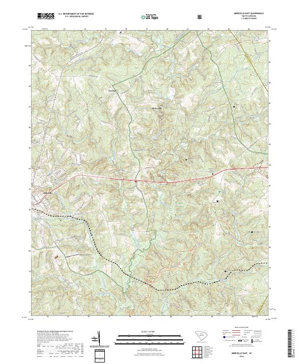
 2011 Abbeville East2011 Print · USGSCovers Abbeville, including Darraugh, Smithville, and other nearby areas
 - 2011 Map of Abbeville West, 2011 Print
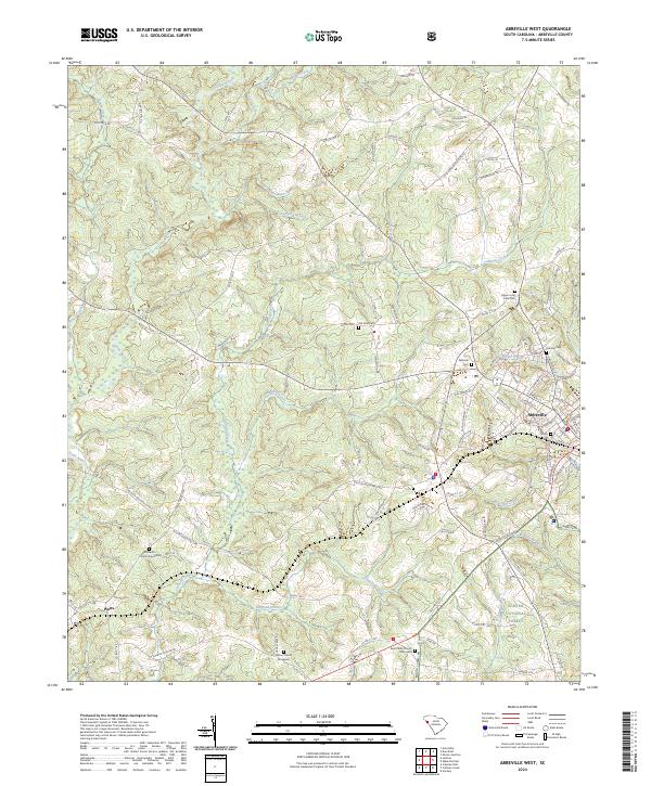
 2011 Abbeville West2011 Print · USGSCovers Abbeville, including Watts, Cold Spring, and other nearby areas
 - 2014 Map of Abbeville West, 2014 Print
 2014 Abbeville West2014 Print · USGSCovers Abbeville, including Watts, Cold Spring, and other nearby areas
 - 2014 Map of Abbeville East, 2014 Print
 2014 Abbeville East2014 Print · USGSCovers Abbeville, including Darraugh, Smithville, and other nearby areas
 - 2017 Map of Abbeville East, 2017 Print
 2017 Abbeville East2017 Print · USGSCovers Abbeville, including Darraugh, Smithville, and other nearby areas
 - 2017 Map of Abbeville West, 2017 Print
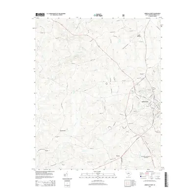
 2017 Abbeville West2017 Print · USGSCovers Abbeville, including Watts, Cold Spring, and other nearby areas
 - 2020 Map of Abbeville East, 2020 Print
 2020 Abbeville East2020 Print · USGSCovers Abbeville, including Darraugh, Smithville, and other nearby areas
 - 2020 Map of Abbeville West, 2020 Print
 2020 Abbeville West2020 Print · USGSCovers Abbeville, including Watts, Cold Spring, and other nearby areas
 - 2024 Map of Abbeville West, 2024 Print
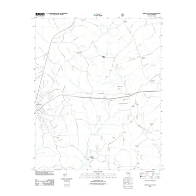
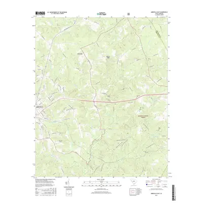
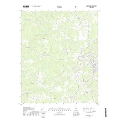
 2024 Abbeville West2024 Print · USGSThe outskirts of Abbeville and the settlement of Watts are shown here as they appeared in the early 21st century. Genealogists can trace family connections through numerous burial sites including Upper Long Cane Cem, Saint Peter Church Graveyard, and Old Zion Cem.
 - 2024 Map of Abbeville East, 2024 Print
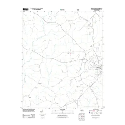
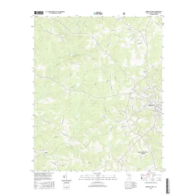
 2024 Abbeville East2024 Print · USGSThe eastern reaches of Abbeville are captured in this modern survey, where the town transitions into the protected woodlands of the Sumter National Forest. Researchers can trace local heritage through several family sites, including Saint John Cem, Millers Mill, and the Ebenezer Church Graveyard.
End of results
Showing maps 1-18 of 18
Top cities near Abbeville
- Greenwood historical maps
- Calhoun Falls historical maps
- Due West historical maps
- Donalds historical maps
- Hodges historical maps
- Troy historical maps
Frequently asked questions
- What are the different types of historical maps available for Abbeville?
- What is the oldest map of Abbeville?
- Where can I purchase historical maps of Abbeville for my home or office?
- Where can I download high-res historical maps of Abbeville?
- Are there historical topographic maps available for Abbeville?
- Is there historical aerial imagery available for Abbeville?
- Where are historical maps of Abbeville sourced from?