2020s Maps of Allendale County, South Carolina
Explore 28 historic maps of Allendale County from the 2020s. These maps offer a rare glimpse into what life looked like during the 2020s — showing old roads, neighborhoods, homes, and landmarks that have changed or disappeared over time.
Whether you're researching your family's past, planning a metal detecting trip, or studying how Allendale County's landscape evolved across the 2020s, these high-resolution maps are a powerful tool for exploring the history of this region.
- Focus on a specific era: All maps on this page are from the 2020s, giving you a focused view of this time period.
- See what’s changed: Compare century-old streets, trails, and buildings to today's modern landscape using overlays and satellite layers.
- Research with precision: Use these maps for genealogy, historical research, land use analysis, or educational projects.
- View, download, or print: Maps are fully viewable online in high resolution, and can be downloaded or printed for your own records.
Start exploring Allendale County's history through authentic maps from the 2020s. This is your window into the past.
Allendale County, SC maps
(28)- 2020 Map of Bull Pond, 2020 Print
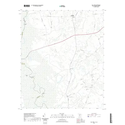 2020 Bull Pond2020 Print · USGSThe Allendale County lowlands near the Georgia border come alive in this recent survey of the Savannah River swamp. Genealogists can locate several family-named burial sites including Magdalene Cem, Folger Cem, and Flowers Cem near the waters of Bull Pond.
 - 2020 Map of Solomons Crossroads, 2020 Print
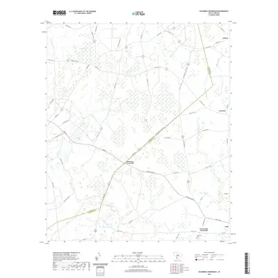 2020 Solomons Crossroads2020 Print · USGSThe rural landscape of Hampton and Allendale Counties is captured here in its modern configuration. Researchers can locate family landmarks and historical sites like Lawtonville Cem, Solomons Crossroads, and the small community of Gifford.
 - 2020 Map of Fairfax, 2020 Print
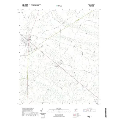 2020 Fairfax2020 Print · USGSAllendale and Hampton Counties are captured here in the contemporary era, showing the enduring wetland geography of the South Carolina Lowcountry. Genealogists and local historians can trace family-named routes and small junctions like Halls Mill, Lovetts Crossing, and Bowers Cemetery Ln.
 - 2020 Map of Barton, 2020 Print
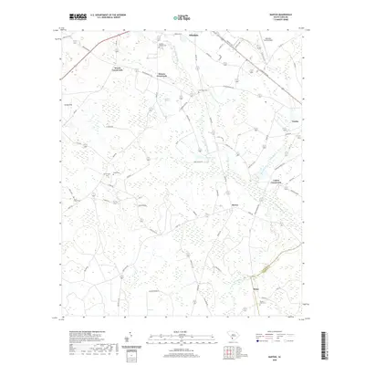 2020 Barton2020 Print · USGSAllendale and Barton are captured here in the early twenty-first century as part of a landscape defined by crossroads and wetlands. Researchers can trace family history through numerous rural sites like Smyrna Cem, Googe Cem, and the distinct Swallow Savanna.
 - 2020 Map of Allendale, 2020 Print
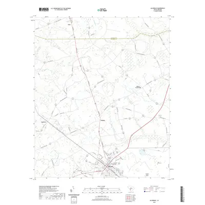 2020 Allendale2020 Print · USGSAllendale and the surrounding South Carolina Lowcountry are shown here in the contemporary era, anchored by the county seat and its courthouse. Trace family heritage and local geography through the Allen Chapel Cem and rural crossroads like Seigling and Appleton.
 - 2020 Map of Ehrhardt, 2020 Print
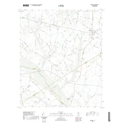 2020 Ehrhardt2020 Print · USGSThe rural Lowcountry at the junction of four counties is captured here in recent detail. Genealogists can trace family lines through numerous burial sites like Kearse-Barbham Cem and Wesley Cem or explore the area around Ehrhardt and Jennys.
 - 2020 Map of Martin, 2020 Print
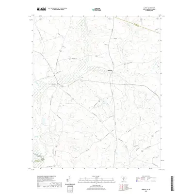 2020 Martin2020 Print · USGSAllendale County at the Georgia border is defined by the wetlands of the Savannah River and the settlements of Martin and Baldock. Researchers can trace old family roadmaps and local landmarks like White Womans Point, Red Lake, and the Revolutionary Trl.
 - 2020 Map of Millett, 2020 Print
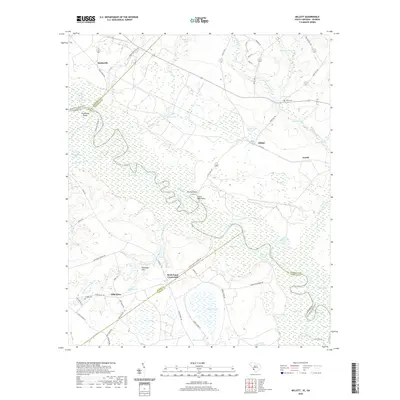 2020 Millett2020 Print · USGSAllendale County and the Savannah River borderlands are captured in this recent survey. Researchers can locate old community hubs like Hills Store, Rock Fence Crossroads, and Corinth Cem or trace the river's path past Little Hell Point.
 - 2020 Map of Girard NE, 2020 Print
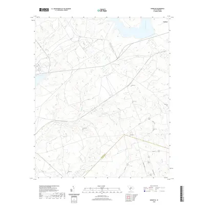 2020 Girard NE2020 Print · USGSBarnwell and Allendale counties come together in this recent topographical study of rural South Carolina. Researchers can pinpoint numerous family landmarks and burial sites like Singleton Cem, Sanders Cem, and the waters of Meyers Br.
 - 2020 Map of Snelling, 2020 Print
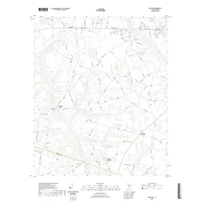 2020 Snelling2020 Print · USGSBarnwell County in the modern era maintains its rural character through a network of creekside settlements and historical crossings. Genealogists and historians can trace family locations near Patterson Mill, Holmes Cem, and the junction at Owens Crossroad.
 - 2020 Map of Sycamore, 2020 Print
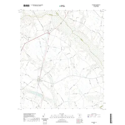 2020 Sycamore2020 Print · USGSIn the South Carolina Lowcountry near the turn of the decade, this rural landscape reveals a pattern of small-town settlement and riverine drainage. Genealogists and local historians can locate several family burial grounds including Harter Cem and Kirkland Cem or the landmark Miller Swamp Church.
 - 2020 Map of Brier Creek Landing, 2020 Print
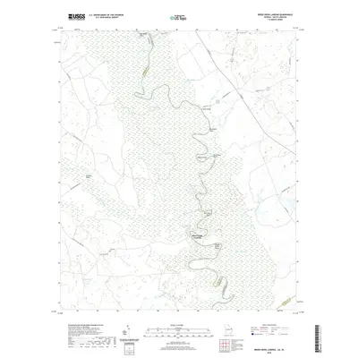 2020 Brier Creek Landing2020 Print · USGSThe Savannah River floodplain along the Allendale and Screven county border is captured here in detail during the early twenty-first century. Researchers can trace riverside history through numerous named landings and points like Brier Creek Landing and Matthews Bluff, or locate rural family landmarks such as Lee Cem and Brannons Bridge.
 - 2020 Map of Burtons Ferry Landing, 2020 Print
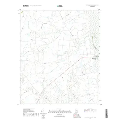 2020 Burtons Ferry Landing2020 Print · USGSThe Georgia and South Carolina borderlands come into focus in this contemporary survey of the river lowlands. Researchers can trace rural lineages at Meek Cem and Bethel Cem, or follow the ancient water routes of the Savannah River near Burtons Ferry Landing.
 - 2020 Map of Blue Springs Landing, 2020 Print
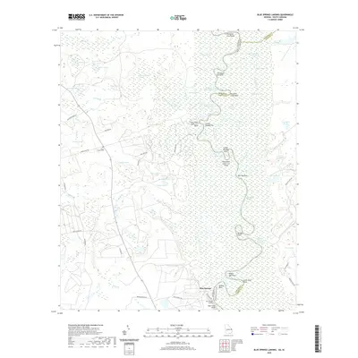 2020 Blue Springs Landing2020 Print · USGSThe Savannah River bottomlands along the Georgia and South Carolina border appear here in great detail, showing the complex wetlands of Screven and Hampton counties. Local historians can trace family ties at the Bryan Family Cem or study the winding river reaches near Blue Springs Landing and Tiger Leap Bluff.
 - 2024 Map of Blue Springs Landing, 2024 Print
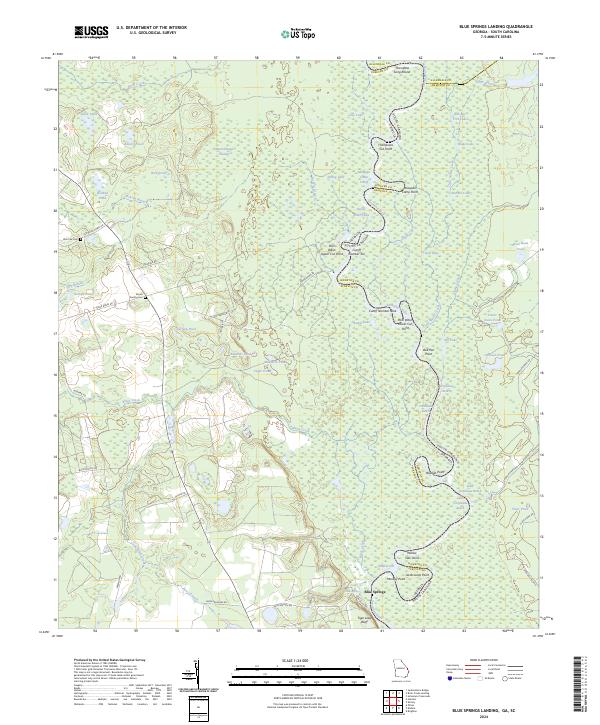 2024 Blue Springs Landing2024 Print · USGSScreven County and the Georgia-South Carolina border are shown here in recent years as a landscape dominated by the winding Savannah River. Researchers can trace rural lineages at the Zion Fair Cem or explore the river's complex oxbows at Mosquito Camp Cutoff and Poor Robin Cutoff Number Ten.
 - 2024 Map of Martin, 2024 Print
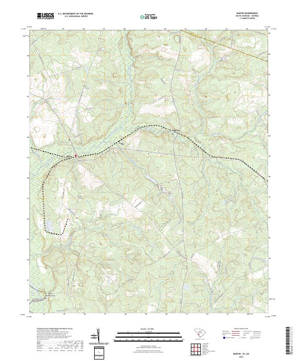 2024 Martin2024 Print · USGSAllendale County at the Georgia border is defined here by the winding Lower Three Runs and historic settlement pockets. Genealogists and historians can trace family-named routes like Patterson Mill Rd and explore the vicinity of Martin and Baldock.
 - 2024 Map of Solomons Crossroads, 2024 Print
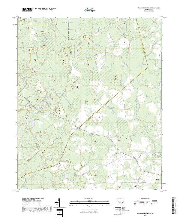 2024 Solomons Crossroads2024 Print · USGSThe borderlands of Allendale and Hampton counties come into focus in this contemporary survey of the South Carolina Lowcountry. Local historians can trace family landmarks and rural junctions from Solomons Crossroads to the historic Lawtonville Cem and Estill.
 - 2024 Map of Fairfax, 2024 Print
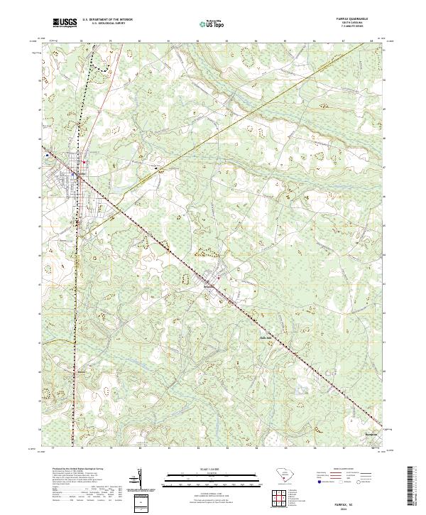 2024 Fairfax2024 Print · USGSThe borderlands of Allendale and Hampton Counties come alive in this recent survey, showcasing the enduring rail-and-road network of the Lowcountry. Genealogists and local historians can trace family-named routes like John P Carter Rd and locate sites such as Googe Cem and Halls Mill.
 - 2024 Map of Snelling, 2024 Print
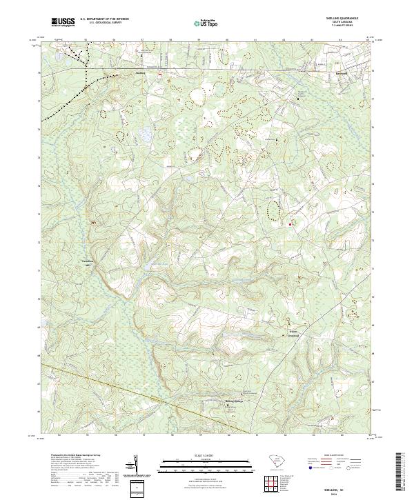 2024 Snelling2024 Print · USGSThe rural landscapes of Barnwell and Allendale Counties come into focus in this contemporary survey of the South Carolina Lowcountry. Genealogists can trace family ties through several churchyards like Saint John Church Graveyard or locate old industrial sites like Patterson Mill.
 - 2024 Map of Ehrhardt, 2024 Print
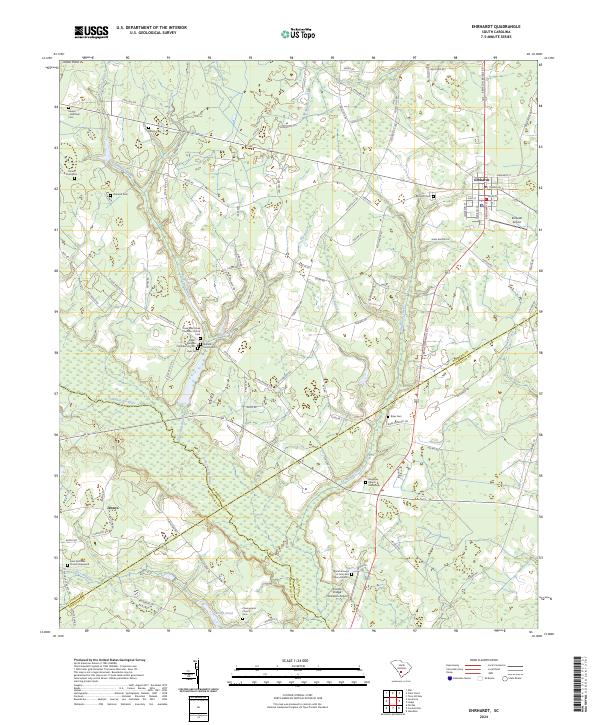 2024 Ehrhardt2024 Print · USGSThe Ehrhardt area in the 2020s remains a landscape deeply tied to its riverbanks and family lineages. Genealogists can trace local heritage through sites like the Rivers Bridges Confederate Cem, the Breland Family Cem, and the Burial Ground of John and Mary Broxton.
 - 2024 Map of Allendale, 2024 Print
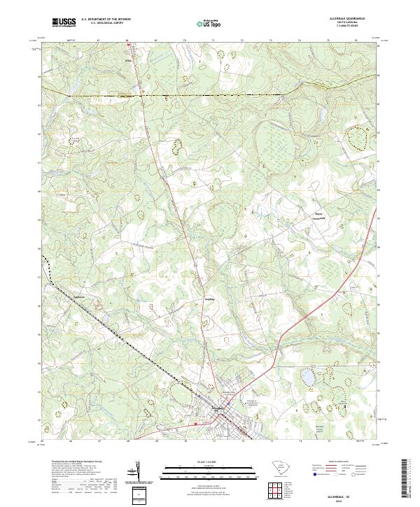 2024 Allendale2024 Print · USGSAllendale and the surrounding Lowcountry landscape are shown in this recent survey during a period of modern growth and historical preservation. Genealogists and local historians can trace the foundations of the area through landmarks like the Allendale County Courthouse, Allen Chapel Cem, and the rural settlement of Appleton.
 - 2024 Map of Burtons Ferry Landing, 2024 Print
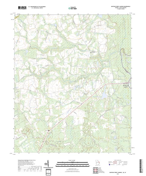 2024 Burtons Ferry Landing2024 Print · USGSThe Savannah River borderlands come alive in this recent survey of the Georgia-South Carolina line. Genealogists and historians can trace local family landmarks and crossings like Burtons Ferry Landing and the Meek Cem.
 - 2024 Map of Brier Creek Landing, 2024 Print
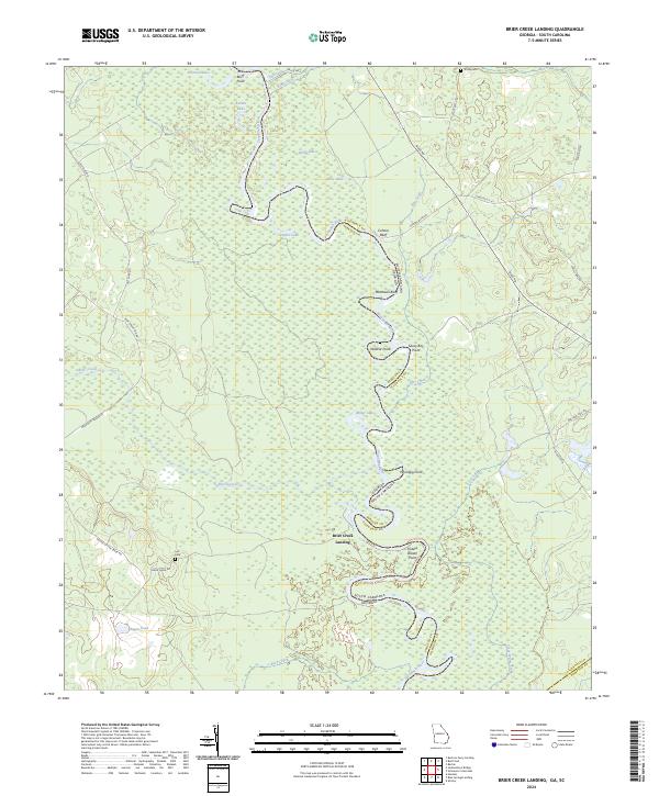 2024 Brier Creek Landing2024 Print · USGSThe Savannah River borderlands in Screven County and Allendale County are shown here in modern detail. Trace family history and river landmarks from Lee Cem to the winding banks of Brier Creek and the landings at Cohens Bluff.
 - 2024 Map of Bull Pond, 2024 Print
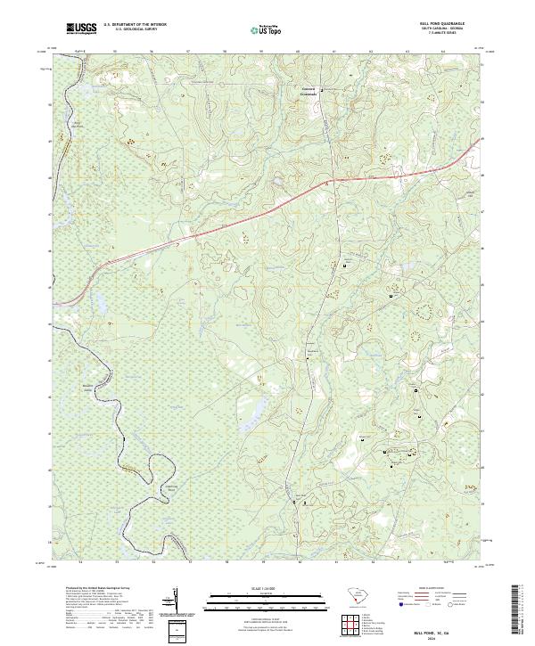 2024 Bull Pond2024 Print · USGSThe South Carolina and Georgia border comes alive here along the winding Savannah River in the early 2020s. Researchers can trace numerous family burial grounds like Flowers Cem and Garvin Cem or explore the river's edge at Possum Eddy and Beaufort Island.
 - 2024 Map of Barton, 2024 Print
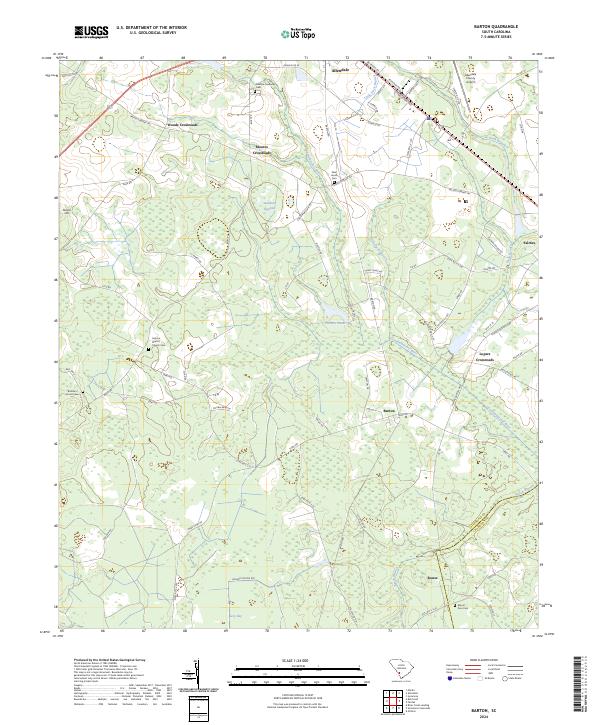 2024 Barton2024 Print · USGSCoastal plain crossroads and river wetlands define the landscape of Allendale and Hampton counties in recent years. Genealogists and local historians can trace family-named sites like Smyma Baptist Church Cem, Lopers Crossroads, and Swallow Savanna.
Showing maps 1-25 of 28
Top cities of Allendale County
Frequently asked questions
- What are the different types of historical maps available for Allendale County?
- What is the oldest map of Allendale County?
- Where can I purchase historical maps of Allendale County for my home or office?
- Where can I download high-res historical maps of Allendale County?
- Are there historical topographic maps available for Allendale County?
- Is there historical aerial imagery available for Allendale County?
- Where are historical maps of Allendale County sourced from?