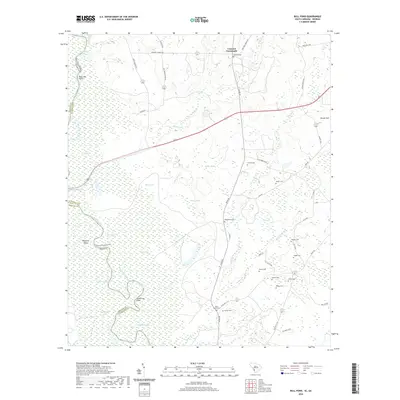
2020 Map of Bull Pond
USGS Topo · Published 2020About this map
Savannah River bottomlands define the western border of this Allendale County landscape, where an intricate network of wetlands and channels like Horsepen Gut, Possum Eddy, and Ferguson Lake meet the Georgia state line. The interior terrain is a mosaic of sandy ridges and swampy depressions, characterized by numerous cemeteries that reflect the deep-rooted family history of the area. Notable sites include Concord Cem near Concord Crossroads and several family burial grounds such as Garvin Cem, Cohen Cem, and Striker Cem clustered in the southern portion of the quadrangle.
Find a feature on this map
59 named features on this map. Tap any name to fly to it.
Don’t see what you’re looking for? This feature index may not catch every label — zoom into the map to look around manually.
Map Details
Editions of this 2020 Bull Pond Map
This is the sole edition of this map. No revisions or reprints were ever made.
Other maps of this area

1919 · Allendale
USGS Topo · 1:62,500

1920 · Ellenton
USGS Topo · 1:48,000

1920 · Hilltonia
USGS Topo · 1:62,500

1920 · Peeples
USGS Topo · 1:62,500

1921 · Ellenton
USGS Topo · 1:62,500

1943 · Allendale
USGS Topo · 1:62,500

1943 · Hilltonia
USGS Topo · 1:62,500

1943 · Peeples
USGS Topo · 1:62,500

1943 · Augusta East
USGS Topo · 1:125,000

1943 · Millen
USGS Topo · 1:125,000