Old Maps of Lakeview, Hanahan for Academic Research
Study the evolution of Lakeview with 14 high-resolution historic maps. Whether you're teaching, researching, or modeling changes in land use, these maps provide essential visual documentation of urban, environmental, and geographic change.
- Analyze long-term change: Track patterns in development, transportation, and natural features.
- Ideal for environmental or urban studies: Support academic projects with primary historical map data.
- Use in the classroom or lab: Educators and researchers rely on these maps to bring historical context to life.
These maps are a powerful tool for teaching, research, and visualizing how Lakeview has changed over the decades.
Lakeview, Hanahan maps
(14)- 1919 Map of Melgrove
 1919 Melgrove1919 Print · USGSThe South Carolina lowcountry emerges in detail during the post-WWI era as industry begins to touch the Cooper River. Genealogists can trace early neighborhood footprints in North Charleston or locate rural landmarks like St.Johns Church and Redbank Landing.3 unique versions available
 - 1940 Map of Melgrove
 1940 Melgrove1940 Print · USGSThe South Carolina lowcountry near Charleston appears here just before the mid-century industrial boom. Researchers can locate community anchors like St Johns Ch, the No 6 School, and the rail stop at Inness Sta along the SOUTHERN line.
 - 1948 Map of James Island
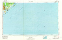
 1948 James Island1948 Print · USGSThe South Carolina coast around the harbor city appeared in this postwar period as a network of naval defenses and established sea island communities. Trace the roads and waterways connecting Charleston to Fort Sumter, Mt Pleasant, and the Isle of Palms.2 unique versions available
 - 1958 Map of North Charleston, 1959 Print
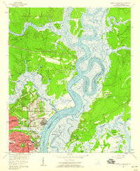 1958 North Charleston1959 Print · USGSNorth Charleston in the late fifties shows a booming industrial and military hub defined by its riverfront access. Researchers can trace the mid-century development of Park Circle, the massive Port Terminal, and community cornerstones like the Orphanage and Oak Terrace Sch.4 unique versions available
 - 1968 Map of James Island
 1968 James Island1968 Print · USGSThe South Carolina Lowcountry in the late sixties shows a transition between its historic coastal defenses and modern expansion. Trace the harbor landscape from Charleston to the barrier islands, finding landmarks like Fort Sumter, Fort Moultrie, and Carolina Skyways.
 - 1969 Map of James Island, 1971 Print
 1969 James Island1971 Print · USGSThe South Carolina coast and Charleston Harbor are documented here in the late sixties, showing a landscape defined by naval history and barrier island growth. Genealogists and historians can trace the footprint of Scanlonville, Folly Beach, and the historic Ft Moultrie.2 unique versions available
 - 1986 Map of James Island
 1986 James Island1986 Print · USGSCharleston and its surrounding sea islands are captured in the mid-1980s, showcasing a region defined by maritime heritage and rapid coastal expansion. Genealogists and historians can trace established neighborhoods like Scanlonville, landmarks such as Fort Sumter, and the era's infrastructure including the Grace Mem Br.
 - 1990 Map of James Island
 1990 James Island1990 Print · USGSCoastal South Carolina in the early nineties reveals a landscape where historic harbor defenses and naval installations meet expanding suburban reaches. Trace the evolution of waterfront communities from Folly Beach to Mount Pleasant, and locate maritime landmarks like the USS Yorktown State Park or the Lighthouse on Morris Island.
 - 1998 Map of North Charleston, 1999 Print
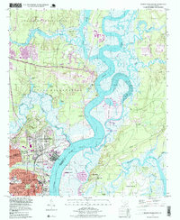 1998 North Charleston1999 Print · USGSNorth Charleston and the surrounding river reaches are shown here in the late nineties, balancing heavy military presence with growing suburban neighborhoods. Trace the industrial waterfront at the Port Terminal and locate community anchors like Park Circle and St Johns Ch.
 - 2011 Map of North Charleston, 2011 Print
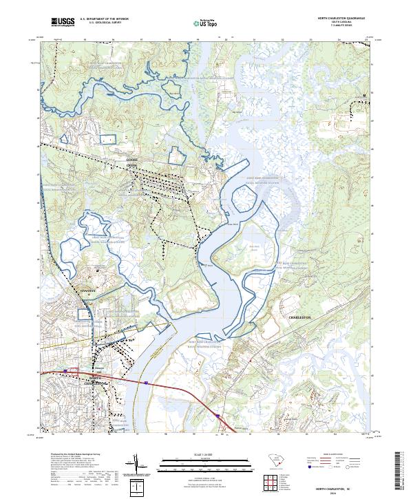
 2011 North Charleston2011 Print · USGSCovers Lakeview, including Charleston, North Charleston, and other nearby areas
 - 2014 Map of North Charleston, 2014 Print
 2014 North Charleston2014 Print · USGSCovers Lakeview, including Charleston, North Charleston, and other nearby areas
 - 2017 Map of North Charleston, 2017 Print
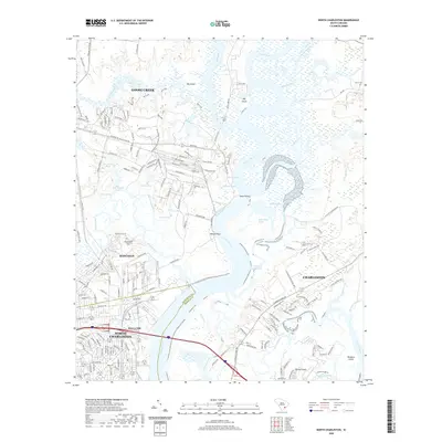
 2017 North Charleston2017 Print · USGSCovers Lakeview, including Charleston, North Charleston, and other nearby areas
 - 2020 Map of North Charleston, 2020 Print
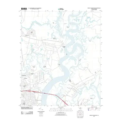
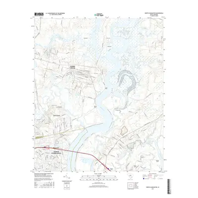
 2020 North Charleston2020 Print · USGSCovers Lakeview, including Charleston, North Charleston, and other nearby areas
 - 2024 Map of North Charleston, 2024 Print
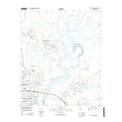
 2024 North Charleston2024 Print · USGSThe industrial and military corridors of the Lowcountry come into focus here during the early twenty-first century. Genealogists and historians can trace the intersection of modern growth and older landmarks, from the Yeamans Hall Plantation Cem to the sprawling Joint Base Charleston Naval Weapons Station.
End of results
Showing maps 1-14 of 14
Top cities near Lakeview
- Charleston historical maps
- North Charleston historical maps
- Mount Pleasant historical maps
- Summerville historical maps
- Goose Creek historical maps
- Hanahan historical maps
See more
Frequently asked questions
- What are the different types of historical maps available for Lakeview?
- What is the oldest map of Lakeview?
- Where can I purchase historical maps of Lakeview for my home or office?
- Where can I download high-res historical maps of Lakeview?
- Are there historical topographic maps available for Lakeview?
- Is there historical aerial imagery available for Lakeview?
- Where are historical maps of Lakeview sourced from?